The Kebnekaise circuit
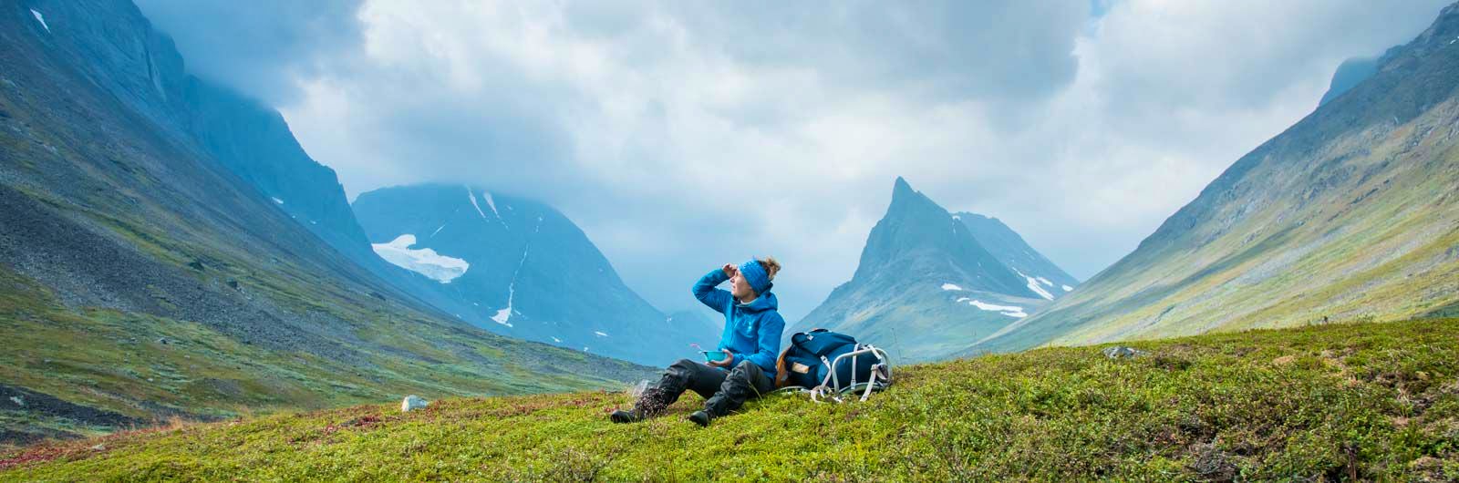
Impressive peaks, steep slopes and vast glaciers line your path across the alpine heaths surrounding Sweden’s highest mountain, Kebnekaise. You hike in a high alpine environment, with STF Kebnekaise Mountain Station as a natural starting and finishing point. The route is highly varied and may offer some of the most spectacular mountain scenery Sweden has to offer. Along the way, you’ll sleep well in STF mountain cabins.
Quick facts
Map of Kebnekaise circuit
Navigate past map or other external content.This map is a planning tool and should not replace a physical map and compass. The service “Naturkartan” (opens in new tab) is operated by a company called “Outdoor map”. Please note that trail information is owned and updated by the respective trail administrator (e.g. municipality or county administrative board).
Discover Kebnekaise
The Kebnekaise massif is Sweden’s most alpine environment, rivalled only by Sarek. You can hike all the way around the massif and experience everything from Sámi settlements to glaciers. STF Kebnekaise Mountain Station is the natural starting and finishing point, but you can also begin in Nikkaluokta and hike to STF Vistas Mountain Cabin via the Vistas Valley.
This hike is among the most varied in the Swedish mountains. You’ll pass through different types of landscapes almost every day – from flat valleys framed by steep, dark cliffs to wide mountain valleys with towering peaks close by.
In some cultures, walking around a high mountain is considered a sacred act. Circling Kebnekaise can therefore become not only a physical journey, but also a spiritual one – if you choose to see it that way.
Learn more about how to avoid disturbing the reindeer.

See and do along the trail
End your journey by climbing the mountain you’ve just circled. Guided tours can easily be booked at the mountain station.
Don’t miss
After hiking the Nallo–Sälka section, you’ll pass Mount Tjäktjatjåkka. Beneath its summit lies one of Sweden’s highest lakes, at 1,506 metres above sea level. The area is well worth a detour (no marked trail).
Transport to the trail
The route is described from STF Kebnekaise Mountain Station, which you reach by hiking from Nikkaluokta. Boat transport (opens in new tab) is available for part of the journey.
Kiruna is accessible by train, and from there you can take a bus to Nikkaluokta with Hörwalls Buss (opens in new tab). The journey takes about 1.5 hours, and you can find timetables via Nikkaluoktaexpressen (opens in new tab).
Book your train via SJ (opens in new tab). Search for your journey from your departure point all the way to your final destination – in this case, Nikkaluokta (opens in new tab). This ensures you get connections that combine both train and bus. You’ll also have travel protection, so any delays won’t affect your ability to reach your destination.
Stage – Kebnekaise Circuit
Below is an overview of stages, distances and accommodation, along with key hiking information.
You can of course hike the route in the opposite direction.
Stage 1: STF Kebnekaise Mountain Station–STF Tarfala Mountain Cabin
8 km, approx. 4 hours
Accommodation: STF Tarfala Mountain Cabin
The first two kilometres are easy hiking. After crossing the bridge over Darfáljohka, the trail turns into Tarfala Valley and becomes steeper for a few kilometres. It first passes through mountain birch forest, followed by a large boulder field with some loose stones. Tarfala Cabin is set among dramatic mountain walls by Lake Darfáljávri.
Stage 2: STF Tarfala Mountain Cabin–STF Vistas Mountain Cabin
20 km, approx. 8–10 hours
Accommodation: STF Vistas Mountain Cabin
This stage includes a steep ascent at the start, very rocky terrain in places and sections without marked trails – so experience is required.
The marked trail ends at Tarfala Cabin. Continue north from Tarfala Research Station (about 1 km back along the trail). From there, a recommended route leads between two peaks. During the first half, up to the shelter in Kaskasavagge, you climb to around 1,600 m a.s.l. You are in high alpine terrain where weather can change rapidly. From the highest point, a long descent leads to the shelter. From here, you round Mount Palkastak and later enter the Vistas Valley with mountain birch woodland and heath.
Stage 3: STF Vistas Mountain Cabin–STF Nallo Mountain Cabin
10 km, approx. 4–5 hours
Accommodation: STF Nallo Mountain Cabin
This stage also follows an unmarked trail, but it is well-trodden and cairns help guide the way. You leave the mountain birch forest and enter a dramatic valley surrounded by steep mountain walls – Stuor Reaiddavaggi. Ahead, you’ll see the distinctive pointed peak Nállu.
You will need to ford Nallojohka, usually a manageable crossing (see guidance on safe fording). Near the base of Mount Nállu, the trail runs close to the stream – stay on the northern side until you reach STF Nallo. Cairns indicate where to make the final crossing before the cabin.
Stage 4: STF Nallo Mountain Cabin–STF Sälka Mountain Cabin
10 km, approx. 4 hours
Accommodation: STF Sälka Mountain Cabin
This is the last stage without a marked trail (neither on maps nor in the terrain). The path is well-used and easy to follow. You are surrounded by steep mountains with peaks around 1,900 m a.s.l.
After a few kilometres, grassy terrain gives way to rockier ground, making parts of the hike more demanding. Several stream crossings are required – the longest is about 300 metres. Before reaching Sälka, you cross a large open grassland.
Stage 5: STF Sälka Mountain Cabin–STF Singi Mountain Cabin
12 km, approx. 3–4 hours
Accommodation: STF Singi Mountain Cabin
The route takes you through the wide valley of Tjäktjavagge. Many hikers leave the main trail to follow their own paths across the heaths. This is an easy stage with spectacular views, including Kebnekaise’s north peak and the dramatic “Dragon’s Back” ridge.
There are plenty of natural rest spots. In poor weather, the shelter at Kuoperjåkka is a reliable stop. You cross several streams via bridges, and the trail becomes more winding and rocky as you approach Singi. Nearby lies Kårtjevuolle, a Sámi summer settlement with traditional huts and reindeer enclosures.
Stage 6: STF Singi Mountain Cabin–STF Kebnekaise Mountain Station
15 km, approx. 4–6 hours
Accommodation: STF Kebnekaise Mountain Station
Here you leave the King’s Trail. The route between Singi and Kebnekaise passes through the narrow and sometimes dramatic Laddjuvagge Valley. This area features several classic climbing routes, such as “Siluetten” on Toulpagorni.
The first kilometres climb gently before reaching Lake Lassajaure and the valley proper, where views are spectacular in both directions. The trail then continues east towards a striking passage between the steep walls of Singitjåkka and Skárttoaivi. After this narrow section, the landscape opens up. The final kilometres to Kebnekaise Mountain Station traverse partly rocky terrain along a slope.
Accommodation along the route

STF Sälka Mountain cabin

STF Nallo Mountain cabin

STF Vistas Mountain cabin
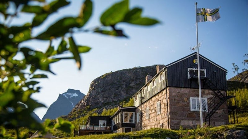
STF Kebnekaise Mountain station


STF Tarfala Mountain cabin
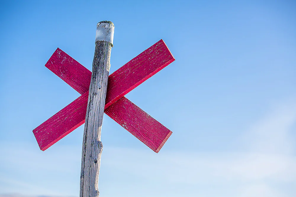
Trail markings
Check the trail markings before you set out. Winter trails are marked with crosses, while summer trails are marked with painted poles, stones, or trees. Winter trails can be difficult to follow in summer, so use a map and trail signs to navigate.
Read more about the trail systemMore pages about hiking

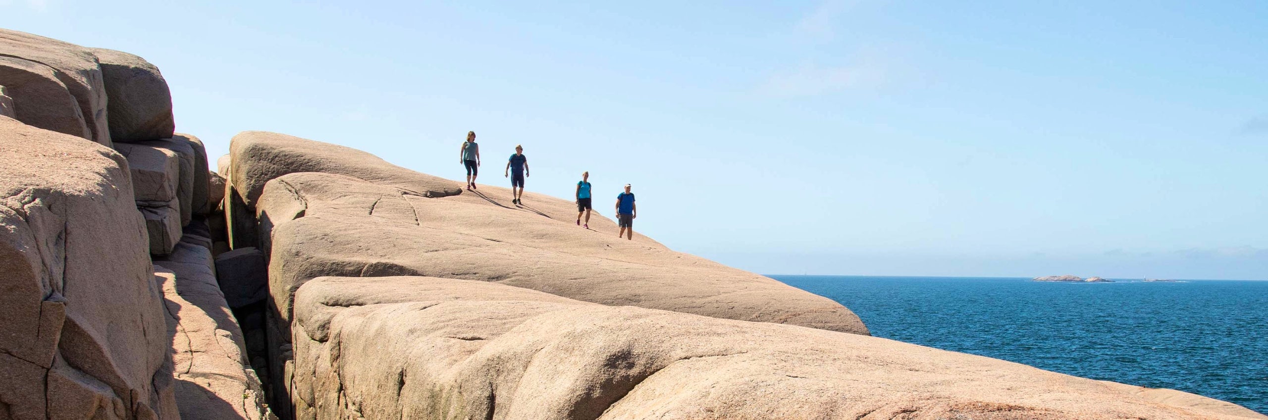
Selected hiking trails
On this page we present a selection of popular and high-quality trails across the country.
STF’s Signature Trails
STF has selected some of the most spectacular routes in the country and brought them together under the name Signature Trails.

Hiking
On this page you will find helpful tips and information for your hike.