Nikkaluokta – Ritsem
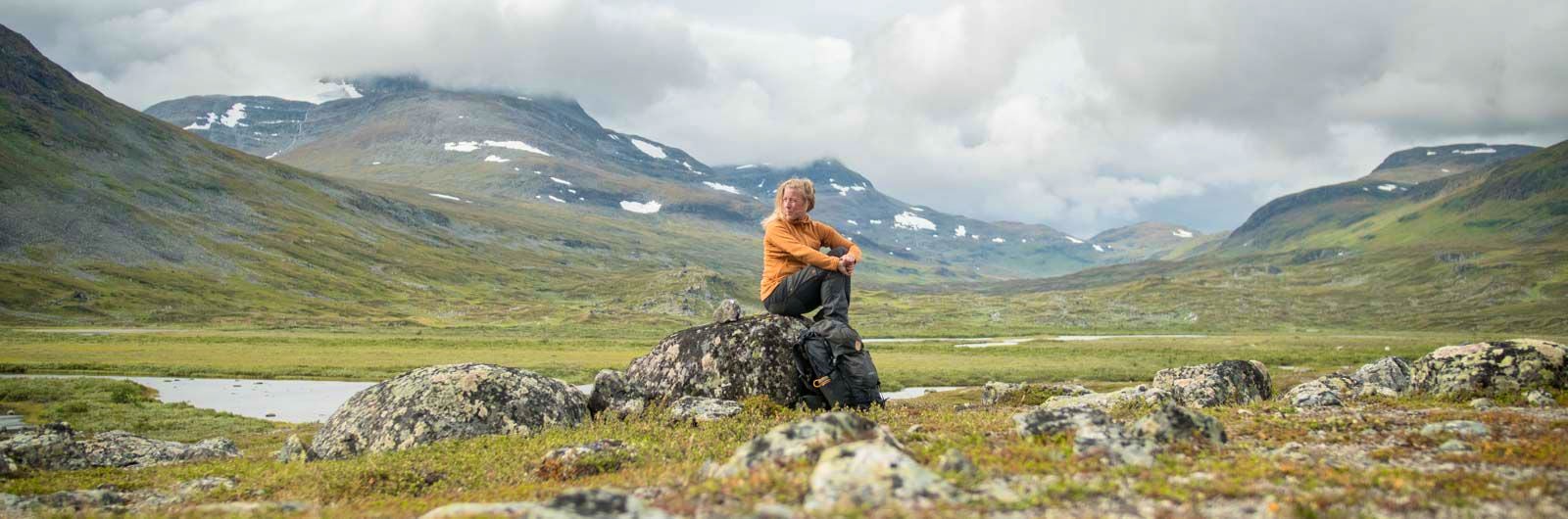
The hike from the village of Nikkaluokta to the mountain cabin STF Ritsem is perfect for those who want to leave the usual paths and experience the border mountains toward Norway. The eastern and western parts of the hike differ greatly in character. You will see the Ladtjovagge Valley in the east and the high alpine Kebnekaise massif in the west. During the hike, you can stay at STF Kebnekaise Mountain Station and in mountain cabins.
Quick facts
Map of Nikkaluokta–Ritsem
Navigate past map or other external content.This map is a planning tool and should not replace a physical map and compass. The service “Naturkartan” (opens in new tab) is operated by a company called “Outdoor map”. Please note that trail information is owned and updated by the respective trail administrator (e.g. municipality or county administrative board).
Discover Nikkaluokta – Ritsem
The first days of hiking follow the well-trodden route to STF Singi Mountain Cabin via STF Kebnekaise Mountain Station. From day three, you head towards the Norwegian border, leaving the most frequented areas behind.
The eastern and western sections between Nikkaluokta and Ritsem differ greatly in character. In the Ladtjovagge Valley in the east, the landscape is lush and expansive, while around the high alpine Kebnekaise massif you’re met by steep mountain walls rising to around 2,000 metres above sea level. Further west, the terrain becomes softer, with more rounded mountains and gently rolling landscapes.
Learn more about how to avoid disturbing the reindeer.
See and do along the trail
Consider staying an extra day at STF Kebnekaise Mountain Station to climb Sweden’s highest mountain. Guided tours are available at the station.
Don’t miss
At the boat jetty on the first day, you’ll find Restaurant Enoks, which serves dishes such as reindeer burgers and waffles with cloudberries.
Getting to the trail
Book your train via SJ (opens in new tab) to Kiruna. Search for your journey from your departure point all the way to your final destination – in this case, Nikkaluokta. This ensures you get connections that combine both train and bus. You’ll also have travel protection, so any delays won’t affect your arrival.
From Kiruna, take a bus to Nikkaluokta with Hörwalls Buss (opens in new tab). The journey takes about 1.5 hours, and timetables are available via Nikkaluoktaexpressen (opens in new tab).
To travel to or from Ritsem, take Länstrafiken Norrbotten to Gällivare. From Gällivare, trains run both southbound and northbound.
Stages of Nikkaluokta – Ritsem
Below is an overview of accommodation, stages with distances, and other relevant hiking information.
You can of course hike the route in the opposite direction to the one presented.
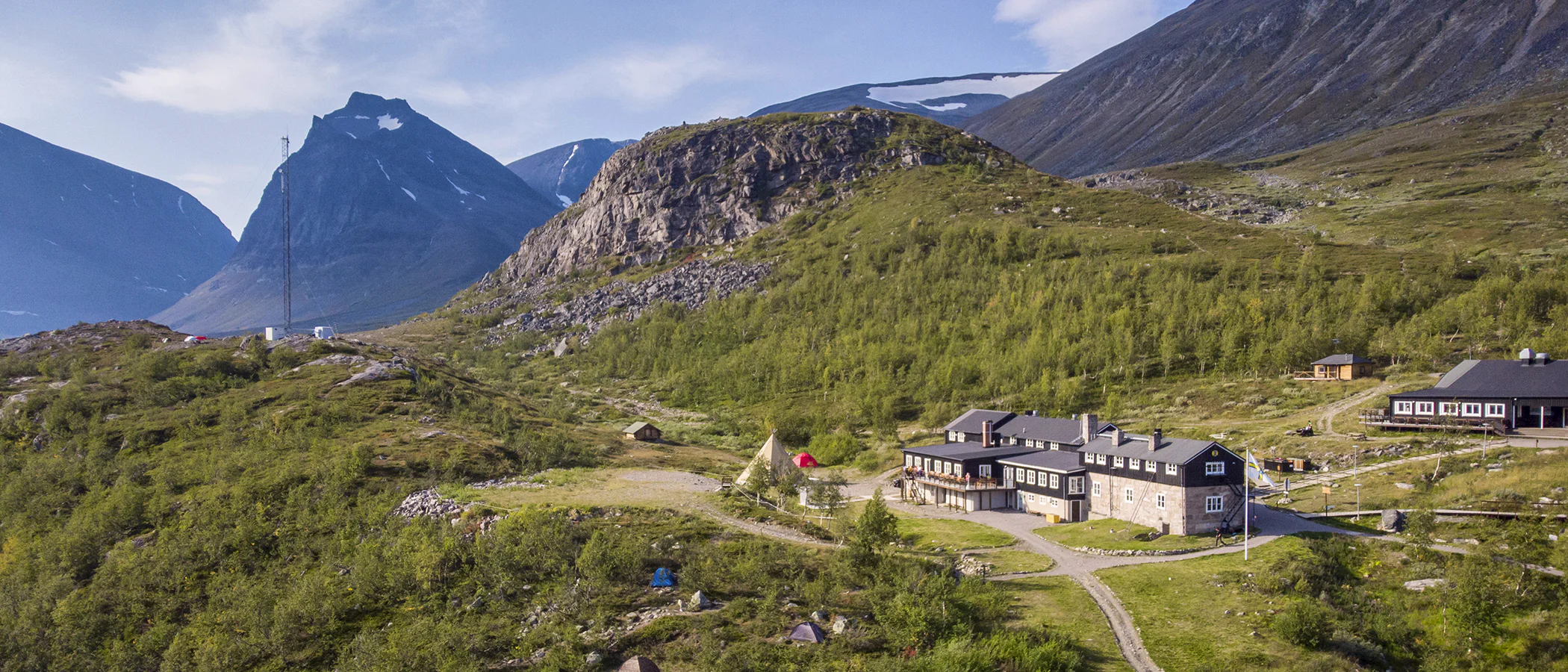
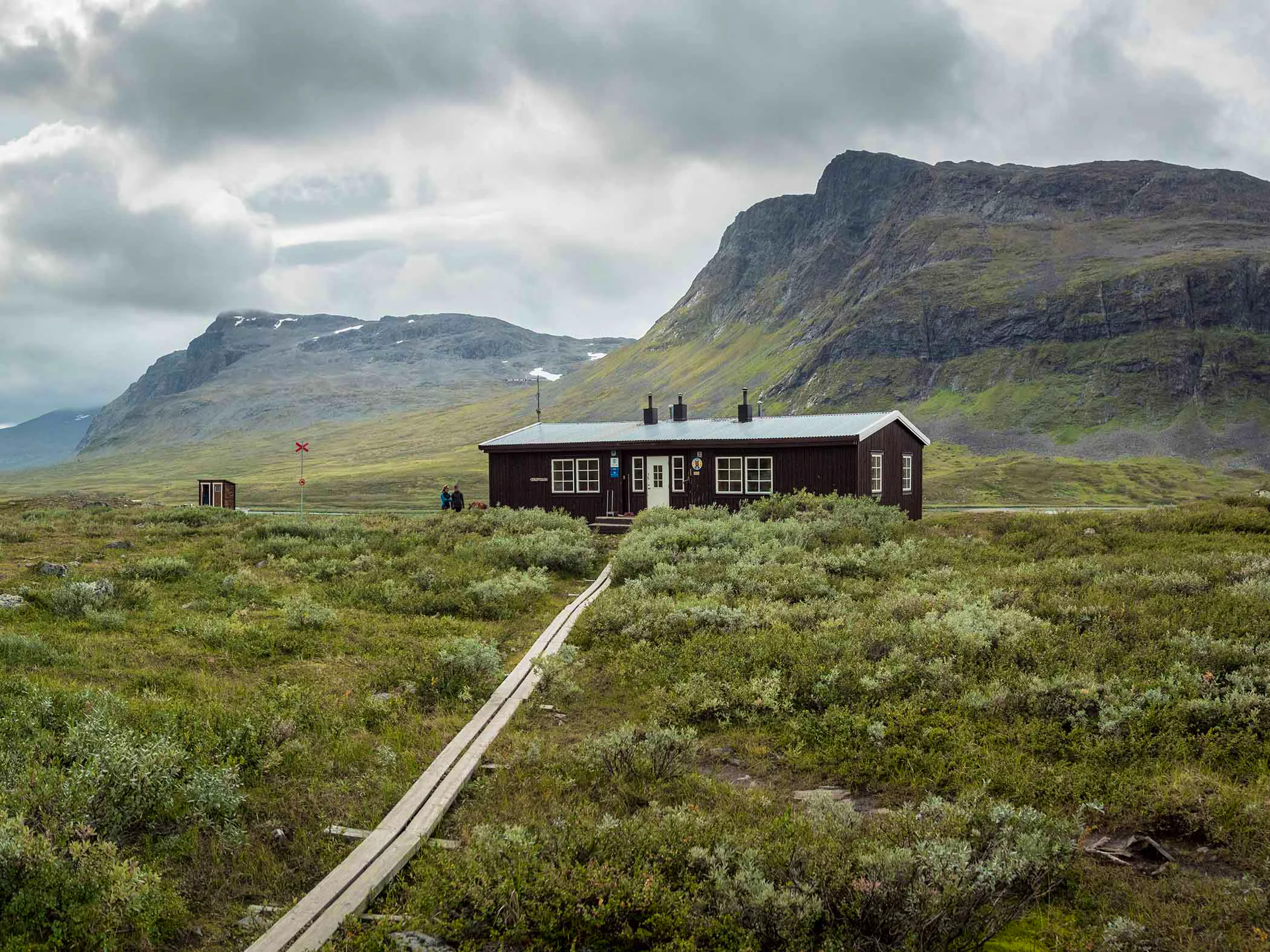
Stage 1: Nikkaluokta–STF Kebnekaise Mountain Station
19 kilometers, 5–7 hours of hiking
Accommodation: STF Kebnekaise Mountain Station
You start the hike in the village of Nikkaluokta, where there is a restaurant and a small shop. The trail primarily goes through birch forest, starting on a narrow tractor-like road. Later, the trail becomes a relatively rocky and boardwalked path. You can also choose a boat ride that shortens the hike by 6 kilometers. The boat runs several times a day according to schedule.
For those continuing the hike after the boat dock, the trail has a gentle uphill stretch for a few kilometers before you reach your destination. You will cross the bridge over Darfáljohka, which drains the glaciers of the Tarfala Valley. Once you arrive at STF Kebnekaise Mountain Station, you will have access to a restaurant, shop, and other services.
Stage 2: STF Kebnekaise Mountain Station–STF Singi Mountain Cabin
15 kilometers, 4–6 hours of hiking
Accommodation: STF Singi Mountain Cabin
On your hike between STF Kebnekaise Mountain Station and the Singi cabins, you pass through the narrow and at times very dramatic section of Laddjuvagge. Here, you’ll find some of the country’s most classic climbing routes. The first few kilometers from the mountain station go through sloping, partially rocky terrain. The hike continues westward toward the impressive passage between the steep walls of Singitjåkka and Skárttoaivi.
The valley opens up just before you reach STF Singi, offering an impressive view. When you reach the crest, which forms the threshold out of the narrow section, you are greeted by grand views in both directions. After the crest, you will pass Lake Lassajaure before the trail descends toward STF Singi Mountain Cabin, located along the Kungsleden.
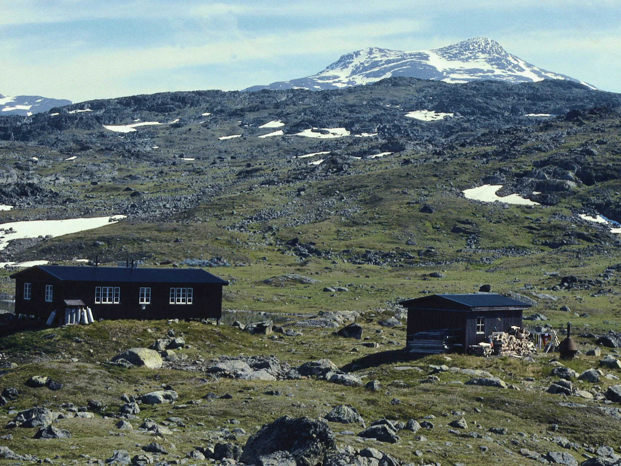
Stage: STF Singi Mountain Cabin–STF Hukejaure Mountain Cabin
25 kilometers, 9–10 hours of hiking
Accommodation: STF Hukejaure Mountain Cabin
You continue hiking along the Kungsleden for a few kilometers. Halfway to STF Sälka Mountain Cabin, you turn westward toward Norway, entering the Nordkalott Trail in Čuhčavaggi. After leaving the Sälka massif behind, the landscape becomes flatter, drier, and less diverse in vegetation.
The area around Hukejaure offers a rugged landscape with hilly and challenging terrain. The fishing is good throughout the area, both in summer and winter. The surrounding area is filled with hilly high plateaus, other lakes, and many wetlands. This type of terrain becomes prominent as the hike continues toward the cabins by Lake Sitasjaure.
Stage 4: STF Hukejaure Mountain Cabin–STF Sitasjaure Mountain Cabin
19 kilometers, 6–8 hours of hiking
Accommodation: STF Sitasjaure Mountain Cabin
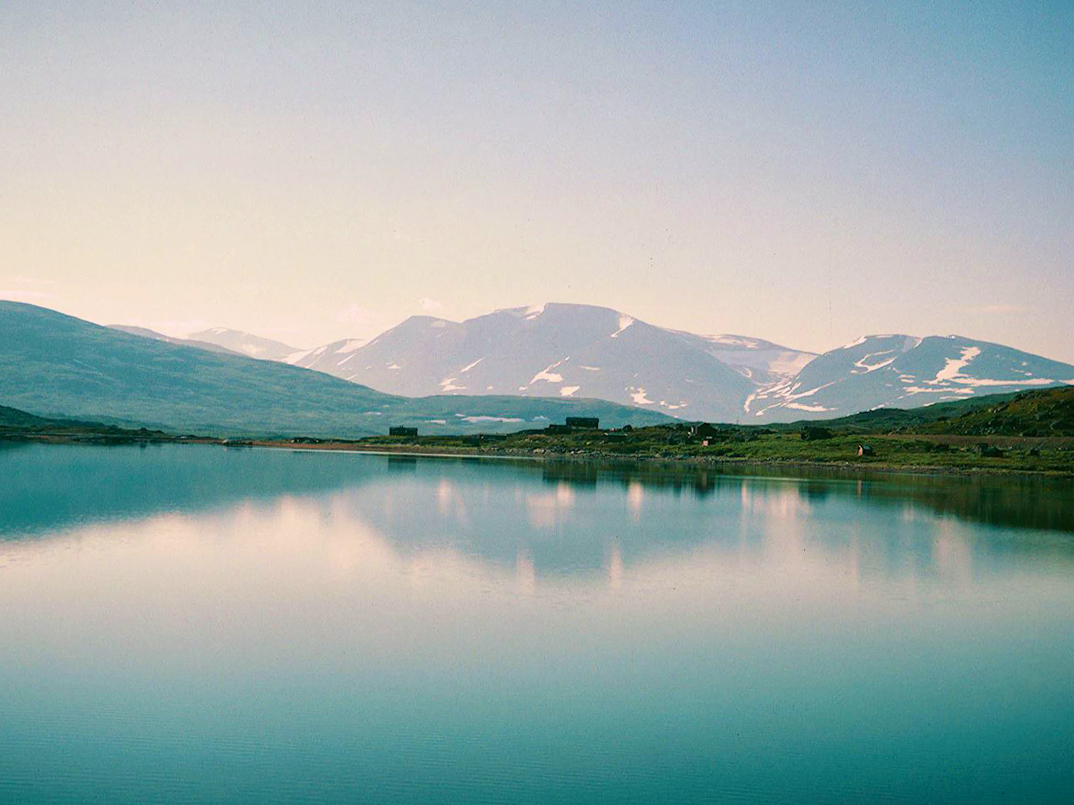
STF Sitasjaure Mountain Cabin offers beautiful views over the mountains and Lake Sitasjaure. The lake’s surface reflects a spectrum of colors from turquoise to black, depending on the weather. Next to the cabin is a Sámi settlement and several old Sámi sacrificial sites.
Along the trail between Sitasjaure and Hukejaure are “stalo foundations,” a type of ancient ruin found in the mountains between Sweden and Norway. According to Sámi legend, the stalo were a people who were cruel, large, one-eyed, fair-skinned, and clad in iron armor!
At Sitasjaure, you will find a settlement for the Baste Cearru Sámi village (formerly Mellanbyn).
Stage 5: STF Sitasjaure Mountain Cabin–STF Ritsem
22 kilometers, 8–9 hours of hiking
Accommodation: STF Ritsem
The hike toward Ritsem follows the mountain, parallel to a closed road leading to Ritsem. The road is rarely trafficked, but sometimes you can get a ride if you don’t want to walk the last stretch. Consider staying a few days and enjoy the tranquility on shorter or longer trips around Ritsem.
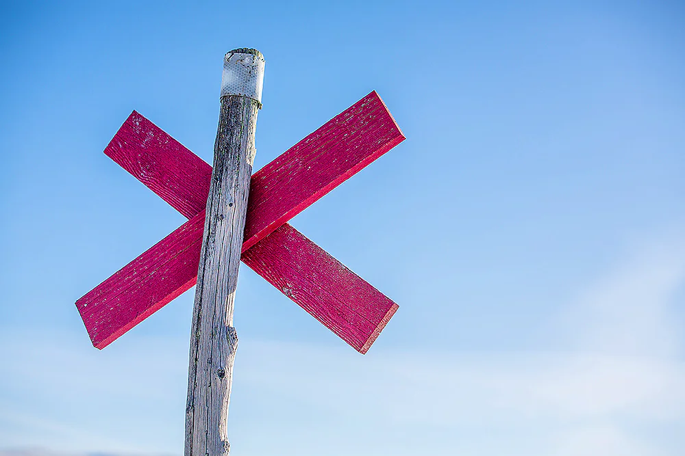
Trail markings
Check the trail markings before you set out. Winter trails are marked with crosses, while summer trails are marked with painted poles, stones, or trees. Winter trails can be difficult to follow in summer, so use a map and trail signs to navigate.
Read more about the trail systemAccommodations along Nikkaluokta – Ritsem
STF Hukejaure Mountain cabin
STF Kebnekaise Mountain station

STF Sitasjaure Mountain cabin
More pages about hiking

Selected hiking trails
On this page we present a selection of popular and high-quality trails across the country.
STF’s Signature Trails
STF has selected some of the most spectacular routes in the country and brought them together under the name Signature Trails.

Hiking
On this page you will find helpful tips and information for your hike.