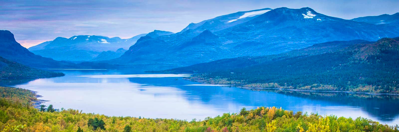
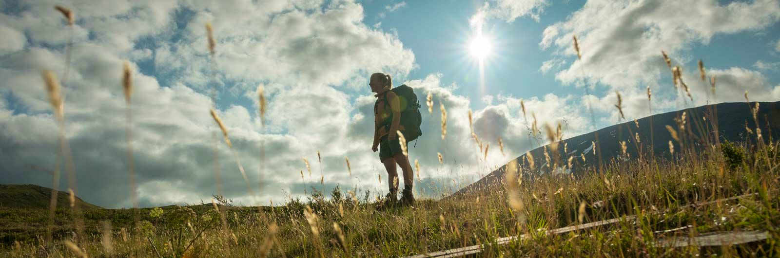
Kungsleden Saltoluokta – Kvikkjokk
The stretch between Saltoluokta and Kvikkjokk is just over 70 km and offers striking contrasts. Here, you hike through a fascinating borderland between Sarek’s high, dramatic peaks to the west and the vast forest landscapes to the east. The trail takes you across open heaths and plains, down through sparse mountain forests and onward across large lakes.
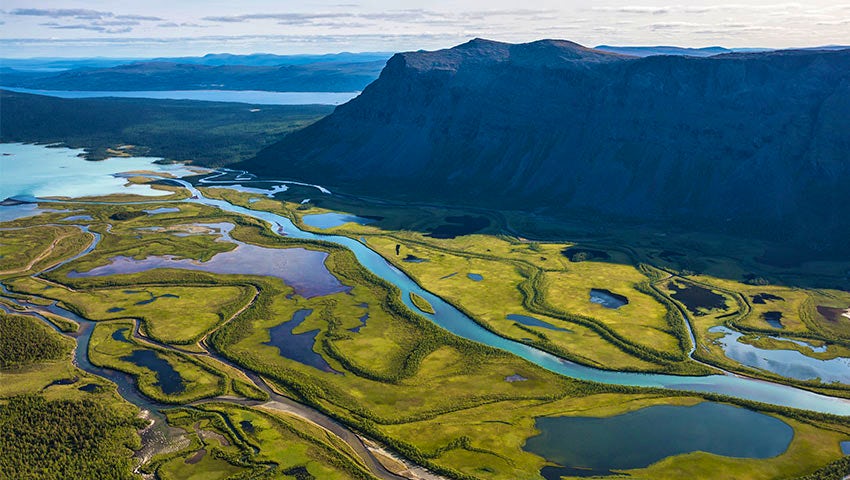
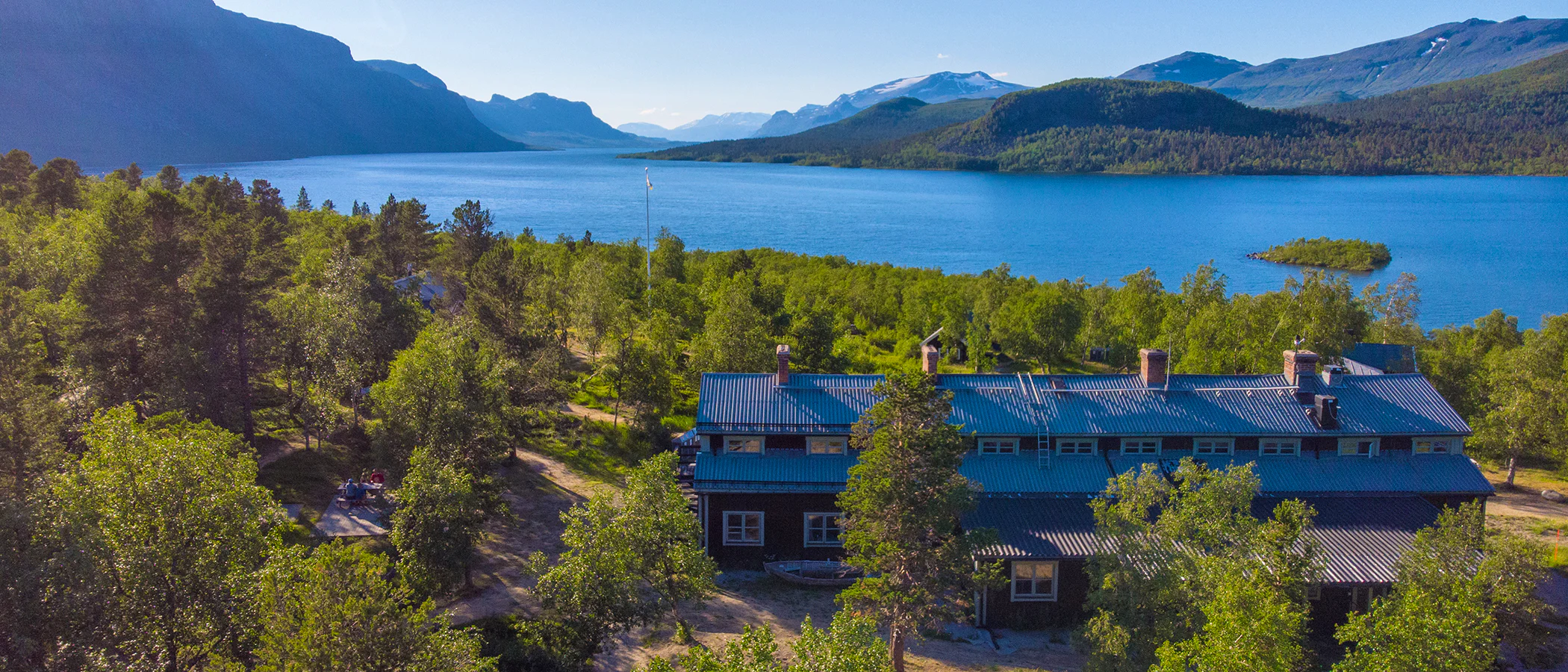
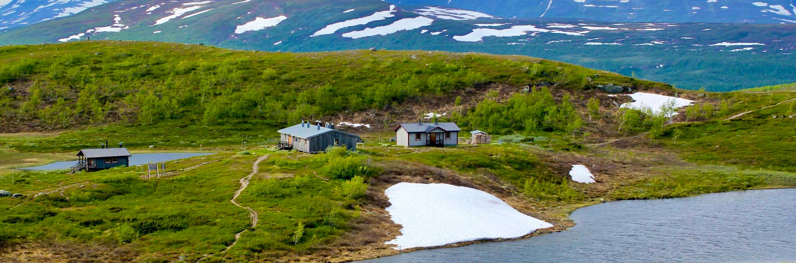
About halfway, at the mouth of Rapadalen, you’ll find STF’s two mountain cabins in Aktse – a place well worth a stop. From here, you can take day trips into Sarek, explore the cultural history of the Sámi people and mountain farmers, or simply enjoy the magnificent surroundings. As you continue towards STF Kvikkjokk Mountain Station, more lakes, open mountain terrain and ancient coniferous forests await.
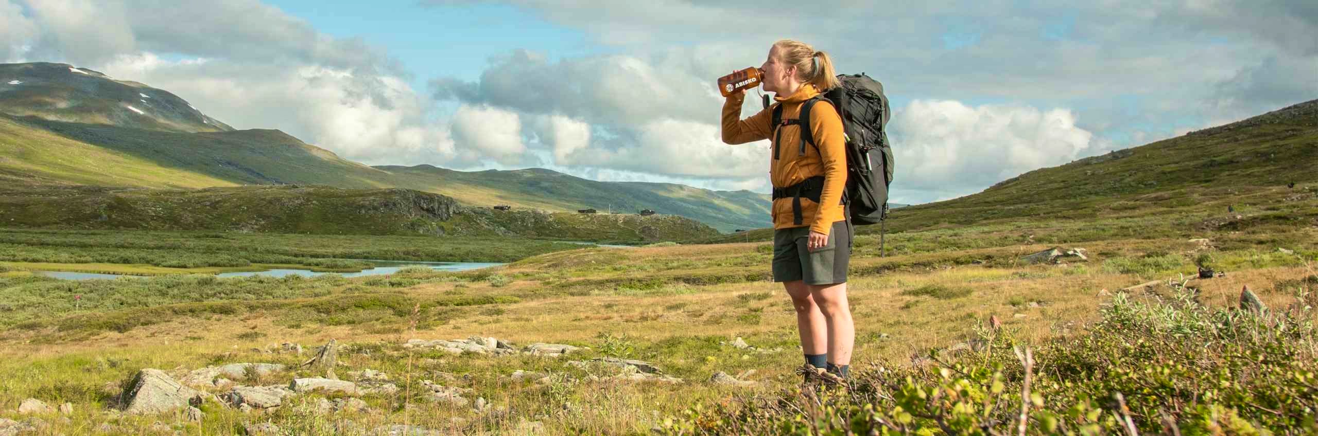
Along the way, you’ll pass several lakes where you either arrange boat transport or row yourself. Also keep in mind that mobile phone coverage is limited along large parts of the route.
Learn more about how to avoid disturbing the reindeer.
Kungsleden Saltoluokta – Kvikkjokk in short
Getting to the trail
Take the train to Gällivare, then a bus to Kebnats. STF operates the boat transfer across Lake Langas. Tip! Book your journey all the way to Kebnats via SJ using “train plus” (tågplus). This ensures that the bus will wait for you if your train is delayed.
From Kvikkjokk, take a bus with Länstrafiken Norrbotten (opens in new tab) to Jokkmokk, and then continue by bus to Murjek. From Murjek, there are train connections.
Always search for your journey from your departure point to your final destination. This way, you’ll find departures that connect across different modes of transport, both train and bus. You will also have a travel guarantee, so any delays will not affect your ability to reach your destination.
Don’t miss
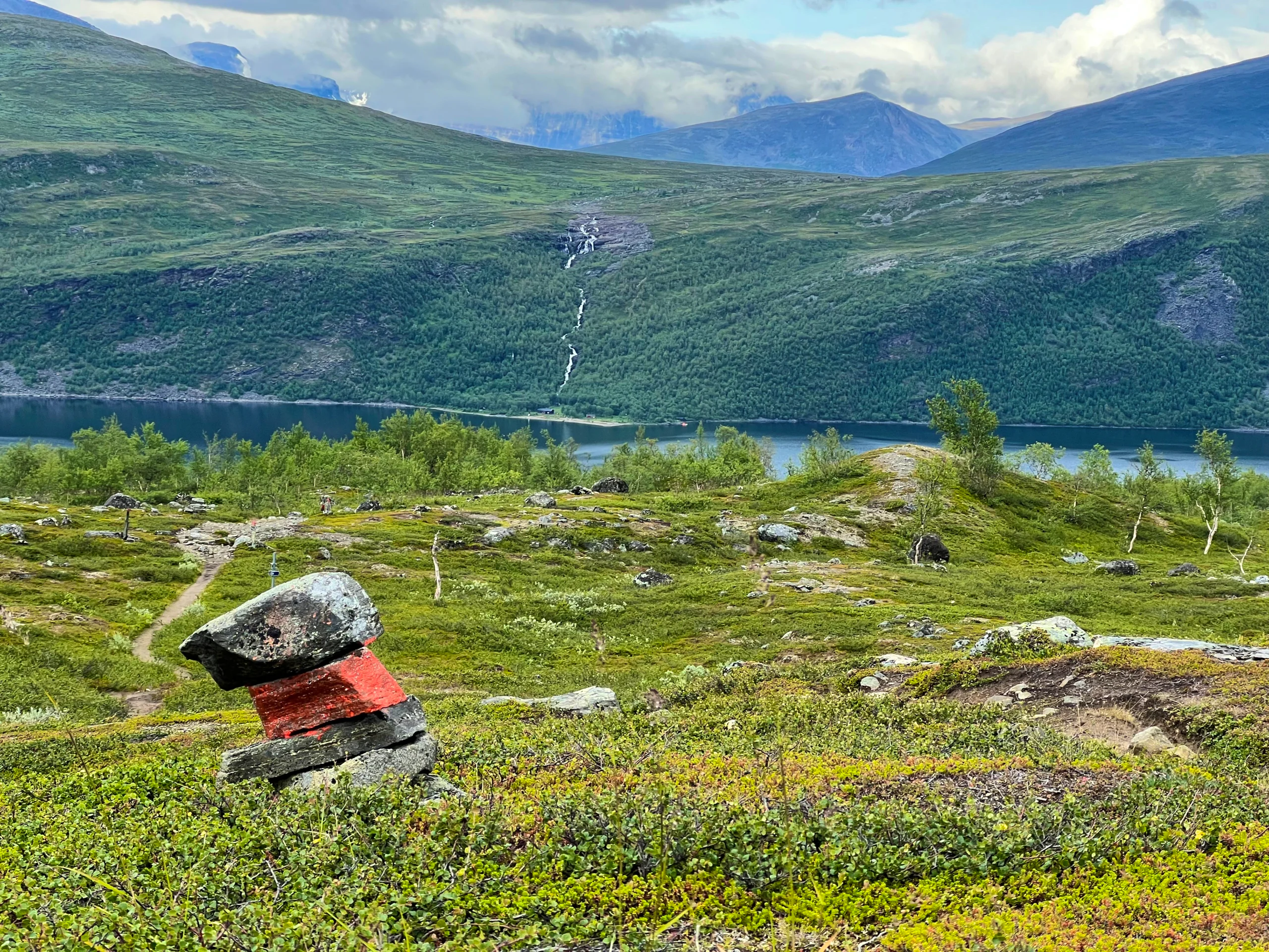
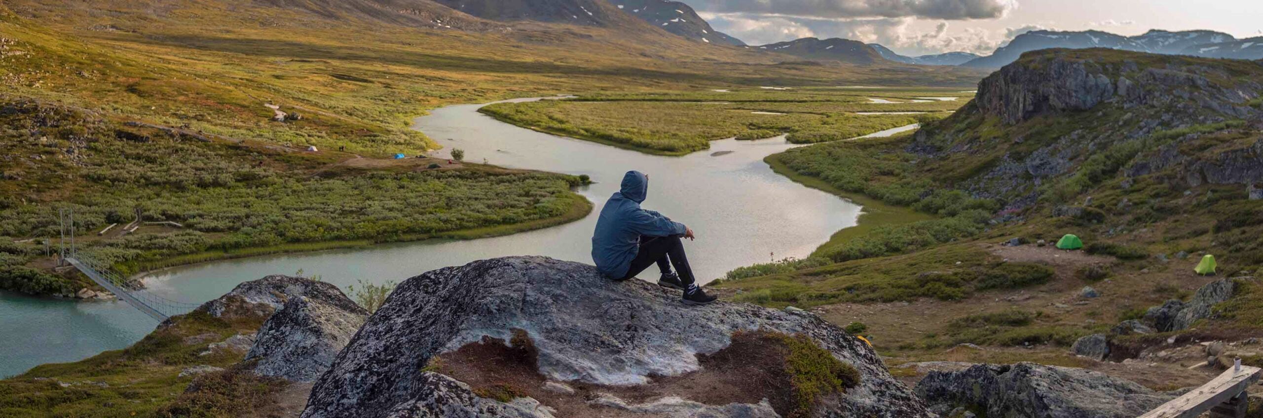
If the weather is clear on day two, take a detour to the photographers’ favorite viewpoint, Skierffe. From the top, you’ll have a fantastic view of the Rapadalen valley and the Pårte massif in Sarek.
If you’re interested in birdlife, you can make a detour to Pårekslätten on day four. A network of small ponds and wetlands attracts large flocks of waders and waterfowl.
At Kvikkjokk, the Tarra River and Kamajåkkå meet. Here, you can rent a canoe or take a boat trip into the delta of the Tarradalen valley.
Map of Kungsleden Saltoluokta – Kvikkjokk
Navigate past map or other external content.This map is a planning tool and should not replace a physical map and compass. The service “Naturkartan” (opens in new tab) is operated by a company called “Outdoor map”. Please note that trail information is owned and updated by the respective trail administrator (e.g. municipality or county administrative board).
Stages Kungsleden Saltoluokta–Kvikkjokk
Stage 1: STF Saltoluokta Mountain station–STF Sitojaure Mountain cabin
19 km, 6–8 hours of hiking
Accommodation: STF Sitojaure Mountain cabin
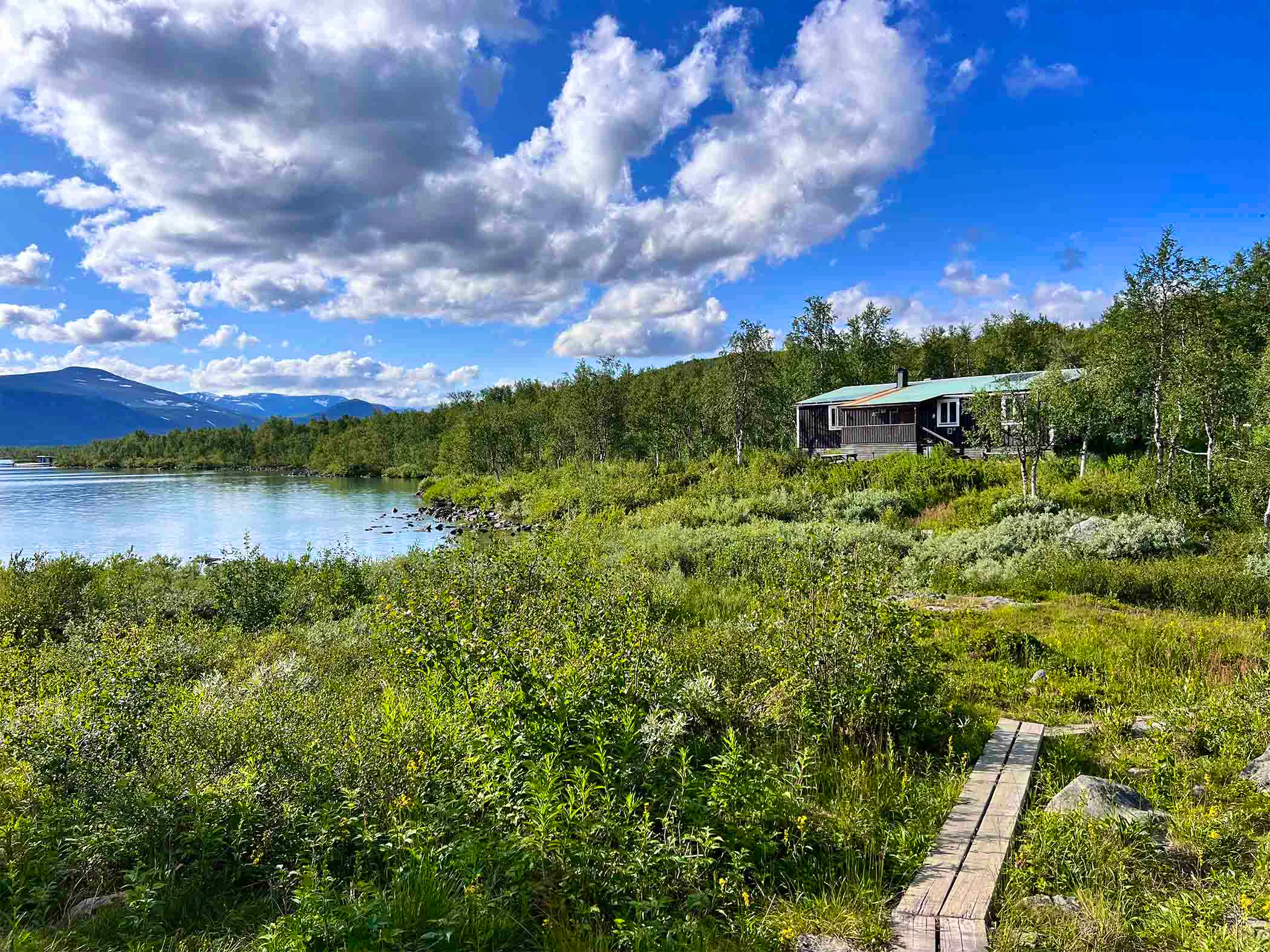
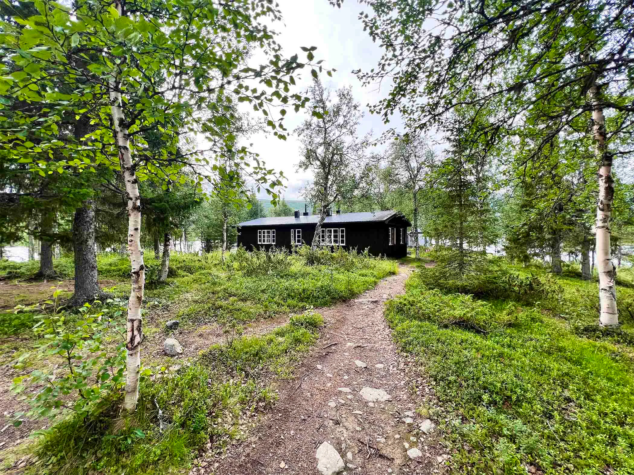
The hike begins in old-growth forest near STF Saltoluokta Mountain station. Soon, the pine forest gives way to mountain birch. The initial climb up to the open alpine terrain is fairly steep, but after three kilometers you reach the top. From here, a magnificent view opens westward over Lake Langas. The trail then continues across easy-to-walk heathland with little elevation change. About halfway, you reach the shelter at Autsutjvagge, and after another 3–4 kilometers you pass the highest point of the stage, 775 meters above sea level. The trail then runs below the steep eastern face of Sjäksjo before reaching STF Sitojaure Mountain cabin. The cabin is beautifully located next to a Sámi settlement on the northern shore of Sitojaure. There is no shop here, so you need to carry your own food.
Stage 2: STF Sitojaure Mountain cabin–STF Aktse Mountain cabin
10 km, 3–4 hours of hiking
Accommodation: STF Aktse Mountain cabin
The day begins with a boat trip across the mountain lakes Kaskajaure and Kåbtajaure. The hike then starts at the jetty in Svine, where there is a shelter. The first kilometers through mountain birch forest are relatively easy and partly boardwalked.
At the tree line, a steep climb begins up to the open alpine terrain. After reaching the highest point and rounding Tåresåive, you’ll be rewarded with views over Rapadalen and the Sarek mountains, with the famous Skierffe cliff in the foreground.
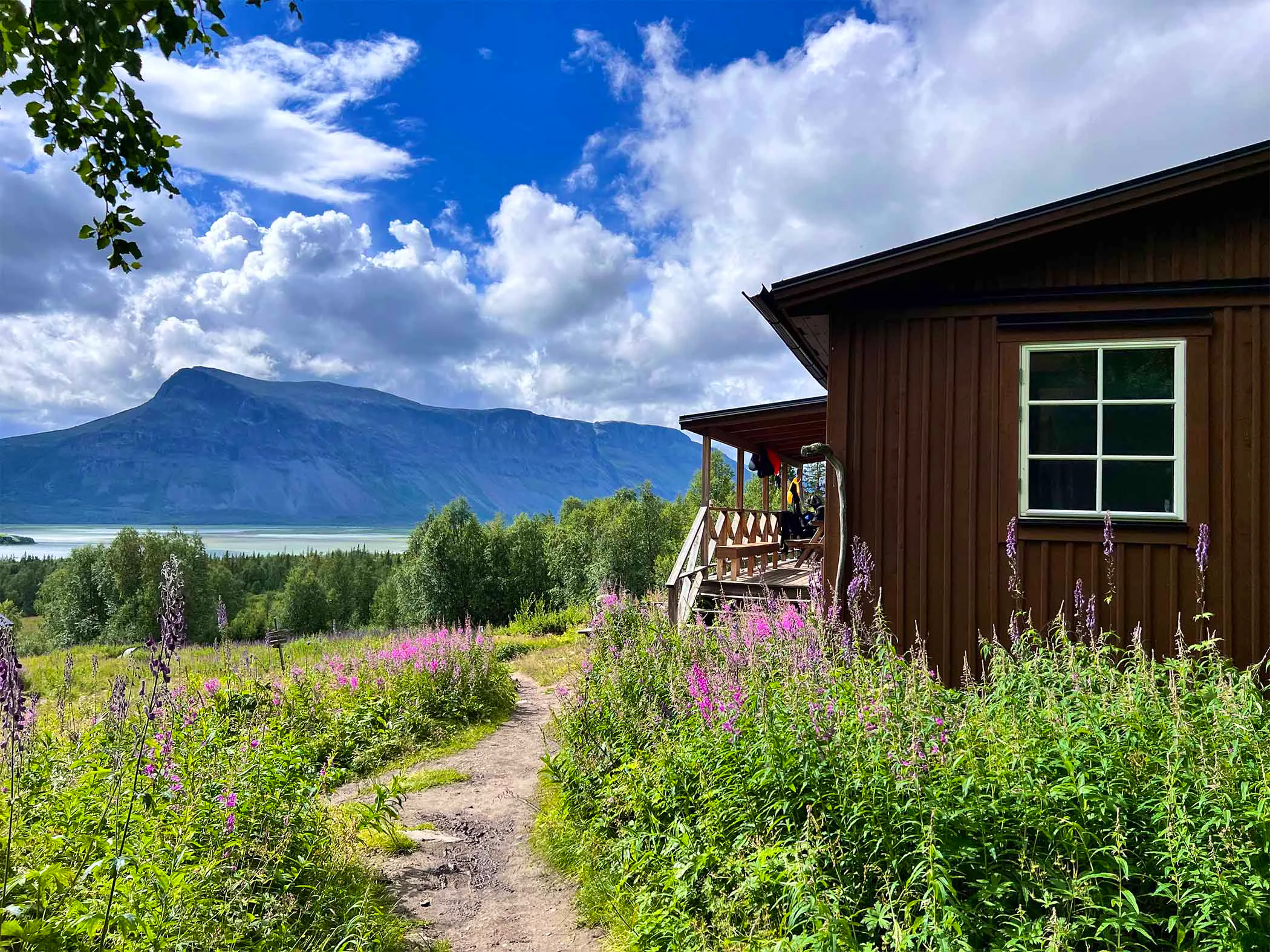
Water can be scarce on the open mountain, so plan your break and bring water from the birch forest below. The final stretch to STF Aktse Mountain cabin descends steeply through old-growth forest. There is a shop here with a Large selection.
Stage 3: STF Aktse Mountain cabin–STF Pårte Mountain cabin
22 km, 7–9 hours of hiking
Accommodation: STF Pårte Mountain cabin
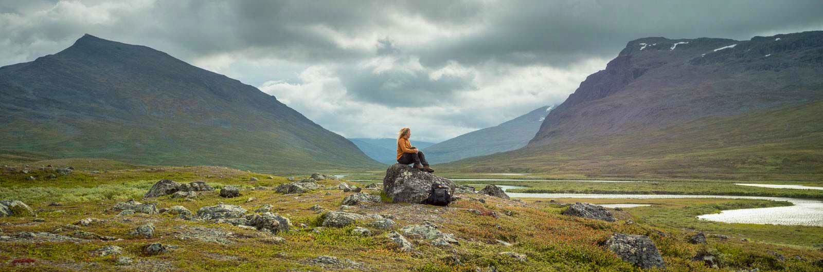
After taking a rowing or motorboat across Lake Laitaure, you begin the long hike towards STF Pårte Mountain cabin. The first 5 kilometers follow an easy trail through dense forest. A short but steep climb leads up to gently rolling alpine terrain. You enter Sarek National Park, where you will hike for most of the remaining distance. Sarek is true wilderness and Sweden’s largest high mountain area.
About halfway, at Rittak, there is a shelter located at the boundary between forest and alpine terrain. From Rittak, the trail continues towards the pass between Faunaåive and Huornatj.
The final stretch to STF Pårte Mountain cabin descends from the open mountain and can be challenging in wet conditions, but soon improves. The day ends in beautiful forest – one of the few untouched old-growth pine forests in the Lapland mountains, rich in wildlife. There is no shop at Pårte, so you need to carry your own food.
Stage 4: STF Pårte Mountain cabin–STF Kvikkjokk Mountain station
17 km, 6–8 hours of hiking
Accommodation: STF Kvikkjokk Mountain station
The hike south continues through dense forest. After crossing the bridge over Tjåltajåkka, the trail becomes rougher and at times quite rocky. The stretch along Lake Stuor Tata is particularly scenic. After passing the path towards Pårek’s Sámi settlement, the trail follows a route that has been used for hundreds of years.
The final kilometers down to STF Kvikkjokk Mountain station are easy, except for the slopes around Tingstallstenen, where the trail can turn into a stream during prolonged rain. Tingstallstenen was historically a gathering place where local assemblies were held. At STF Kvikkjokk Mountain station, you’ll find a restaurant and a shop.
Trail markings
Check the trail markings before you set out. Winter trails are marked with crosses, while summer trails are marked with painted poles, stones, or trees. Winter trails can be difficult to follow in summer, so use a map and trail signs to navigate.
Read more about the trail systemAccommodations along the trail

STF Kvikkjokk Mountain station
Visitor calendar
Do you prefer a quieter experience in the mountains? Our visitor calendar gives you an overview of typical occupancy levels in this mountain area, helping you plan your trip during less busy periods. During quieter times, we also often offer better prices. Please note that the visitor calendar is only an indication and does not account for variations due to events or holidays.
Week |
24 |
25 |
26 |
27 |
28 |
29 |
30 |
31 |
32 |
33 |
34 |
35 |
36 |
37 |
38 |
39 |
|---|---|---|---|---|---|---|---|---|---|---|---|---|---|---|---|---|
Saltoluokta |
Few visitors |
More visitors Thurs-Sat |
Few visitors |
Few visitors |
Most visitors |
Most visitors |
Most visitors |
Most visitors |
Most visitors |
Most visitors |
More visitors Thurs-Sat |
More visitors Thurs-Sat |
More visitors Thurs-Sat |
More visitors Thurs-Sat |
Closed |
Closed |
Kvikkjokk |
Few visitors |
Few visitors |
Few visitors |
Few visitors |
Most visitors |
Most visitors |
Most visitors |
Most visitors |
Most visitors |
Most visitors |
Few visitors |
Few visitors |
Few visitors |
Few visitors |
Few visitors |
Few visitors |
Ritsem |
Closed |
Few visitors |
Few visitors |
Few visitors |
More visitors |
More visitors |
Most visitors |
Most visitors |
More visitors |
More visitors |
Few visitors |
Few visitors |
Few visitors |
Closed |
Closed |
Closed |
Aktse |
Closed |
Few visitors |
Few visitors |
Few visitors |
More visitors |
More visitors |
Most visitors |
Most visitors |
More visitors |
More visitors |
More visitors Thurs-Sat |
More visitors Thurs-Sat |
More visitors Thurs-Sat |
More visitors Thurs-Sat |
Closed |
Closed |
Akka |
Closed |
Closed |
Few visitors |
Few visitors |
More visitors |
More visitors |
Most visitors |
Most visitors |
Few visitors |
Few visitors |
Few visitors |
Few visitors |
Few visitors |
Closed |
Closed |
Closed |
Sitojaure |
Closed |
Few visitors |
Few visitors |
Few visitors |
More visitors |
More visitors |
Most visitors |
Most visitors |
More visitors |
More visitors |
Few visitors |
Few visitors |
Few visitors |
Few visitors |
Closed |
Closed |
Vakkotavare |
Closed |
Few visitors |
Few visitors |
Few visitors |
More visitors |
More visitors |
Most visitors |
Most visitors |
More visitors |
More visitors |
Few visitors |
Few visitors |
Few visitors |
Few visitors |
Closed |
Closed |
Pårte |
Closed |
Few visitors |
Few visitors |
Few visitors |
More visitors |
More visitors |
Most visitors |
Most visitors |
More visitors |
More visitors |
Few visitors |
Few visitors |
Few visitors |
Few visitors |
Closed |
Closed |
Kutjaure |
Closed |
Closed |
Closed |
Few visitors |
More visitors |
More visitors |
Most visitors |
Most visitors |
Few visitors |
Few visitors |
Few visitors |
Few visitors |
Few visitors |
Closed |
Closed |
Closed |
Teusajaure |
Closed |
Few visitors |
Few visitors |
Few visitors |
More visitors |
More visitors |
Most visitors |
Most visitors |
More visitors |
More visitors |
Few visitors |
Few visitors |
Few visitors |
Few visitors |
Closed |
Closed |
Vaisaluokta |
Closed |
Closed |
Few visitors |
Few visitors |
More visitors |
More visitors |
Most visitors |
Most visitors |
Few visitors |
Few visitors |
Few visitors |
Few visitors |
Few visitors |
Closed |
Closed |
Closed |
Kaitumjaure |
Closed |
Few visitors |
Few visitors |
Few visitors |
More visitors |
More visitors |
Most visitors |
Most visitors |
More visitors |
More visitors |
Few visitors |
Few visitors |
Few visitors |
Few visitors |
Closed |
Closed |
Njunjes |
Closed |
Closed |
Few visitors |
Few visitors |
Few visitors |
Few visitors |
More visitors |
More visitors |
Few visitors |
Few visitors |
Few visitors |
Few visitors |
Few visitors |
Closed |
Closed |
Closed |
Såmmarlappa |
Closed |
Closed |
Few visitors |
Few visitors |
Few visitors |
Few visitors |
More visitors |
More visitors |
Few visitors |
Few visitors |
Few visitors |
Few visitors |
Few visitors |
Closed |
Closed |
Closed |
Pieskehaure |
Closed |
Closed |
Closed |
Few visitors |
Few visitors |
Few visitors |
Few visitors |
Few visitors |
Few visitors |
Few visitors |
Few visitors |
Few visitors |
Closed |
Closed |
Closed |
Closed |
Sårjåsjaure |
Few visitors |
Few visitors |
Few visitors |
Few visitors |
Few visitors |
Few visitors |
Few visitors |
Few visitors |
Few visitors |
Few visitors |
Few visitors |
Few visitors |
Few visitors |
Few visitors |
Few visitors |
Few visitors |
Tarrekaise |
Closed |
Closed |
Few visitors |
Few visitors |
Few visitors |
Few visitors |
More visitors |
More visitors |
Few visitors |
Few visitors |
Few visitors |
Few visitors |
Few visitors |
Closed |
Closed |
Closed |
Vaimok |
Closed |
Closed |
Closed |
Few visitors |
Few visitors |
Few visitors |
Few visitors |
Few visitors |
Few visitors |
Few visitors |
Few visitors |
Few visitors |
Closed |
Closed |
Closed |
Closed |
Read more about Kungsleden
Kungsleden Saltoluokta – Kvikkjokk
The stretch between Saltoluokta and Kvikkjokk is just over 70 km and offers striking contrasts.
Kungsleden Nikkaluokta – Saltoluokta
Experience one of Sweden’s most classic mountain hikes on the Kungsleden between Nikkaluokta and Saltoluokta.
Kungsleden Kvikkjokk – Ammarnäs
The stretch between Kvikkjokk and Ammarnäs is the least hiked part of the King’s Trail (Kungsleden) and offers a calm and magnificent experience.
Kungsleden Ammarnäs–Hemavan
The southern end of the Kungsleden is Hemavan. From here, you hike through the Vindelfjällen Nature Reserve – a Lapland in miniature.
Kungsleden Abisko–Nikkaluokta
This section describes the northern part of the 450 km-long Kungsleden, from Abisko to Nikkaluokta. A hike of 5–7 days.
Kungsleden
The Kungsleden Trail, the King’s Trail, between Abisko and Hemavan is one of the world’s most famous – and perhaps finest – long-distance hiking routes.