Storulvån – Vålådalen
This is a classic route that runs between two of Jämtlands mountain centres. Storulvån is the hub for mountain hiking in the western mountains, while Vålådalen is the hub for routes in the lower, forested landscape to the east. The route described here passes through the STF Sylarna Mountain Station.
This route is affected by the land lease agreement from 2023 in Jämtland and Härjedalen. Read more about the land lease agreement to find out which sections and accommodations are affected.
Quick facts
Discover Storulvån – Vålådalen
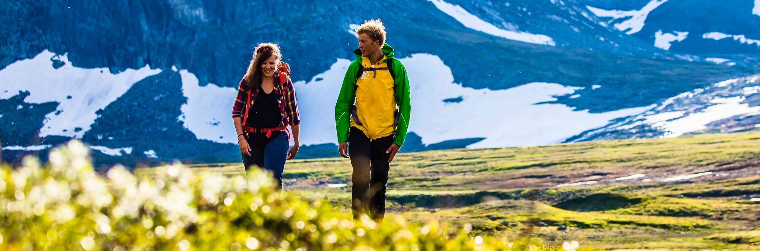
The route from Storulvån to Vålådalen is passing through Sylarna. During the first two stages of the hike, you follow the trail mostly on the bare mountain plateaus. On your last hiking day, you pass through varied birch and coniferous forest. The trail is well-marked, and along the way, bridges extend over the watercourses that would otherwise be difficult to cross. The terrain during the first stage is moderately hilly and without any major difficulties. In the second stage (the second day), there is quite a bit of uphill, but the views provide you with energy. The two final stages feature terrain that is again moderately hilly. You stay at mountain stations with full service, as well as in mountain cabins, which usually have both a shop and a sauna.
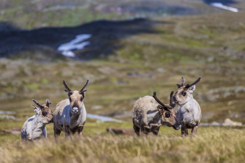
Reindeer herding is practiced in this area, thank you for showing consideration! Learn more about how to avoid disturbing the reindeer.
See and do along the trail
From Sylarna, you can ascend Storsylen at 1,762 meters above sea level. Guided tours are available for booking at the station for those who want to learn more.
Don’t miss
Treat yourself to a lunch break at Storforsen on stage two. It’s a magically beautiful place where you can capture unforgettable pictures.
Transport to the trail
Book your train tickets through SJ (opens in new tab). Search for your trip from the departure point to the final destination, in this case, STF Storulvån Mountain Station. This way, you will always find departures that align with different modes of transportation: both train and bus. You also have travel guarantee, ensuring that any delays do not affect your ability to reach your destination.
The train runs up to Enafors, and from there, you take the bus the last stretch. The transfer is managed by Wänseth Buss (opens in new tab). You can book the transfer to/from the night train directly with them or by phone at 0647-704 77.
From Vålådalen, take the bus with Länstrafiken (opens in new tab) goes to Undersåker, where there are train connections.
Sections of Storulvån – Vålådalen
Below are descriptions of various accommodations, stages with distances, and other relevant hiking information.
Of course, it is possible to hike in the opposite direction than the order in which the sections are presented.
Section 1: STF Storulvån Mountain Station – STF Sylarna Mountain Station
16 kilometers, 5–6 hours of hiking
Accommodation: STF Sylarna Mountain Station
After a few kilometers of hiking, you leave the mountain birch forest around Storulvån Mountain Station and reach the bare mountain plateau. Early on, you pass the suspension bridge over Lill-Ulvån. The trail then continues through undulating terrain towards the shelter Spåime, which is about halfway to Sylarna Mountain Station. Here, the trail mostly goes through dry sections, but there are also sections with boardwalks over marshy areas. During the hike, your gaze will constantly be drawn to the horizon and the pointed peaks of Sylarna.
The trail continues in similar terrain towards the shelter Gamla Sylen, which you reach before the final 3 kilometers’ ascent to the mountain station. Opposite Gamla Sylen’s shelter, on the other side of Sylälven, Sweden’s first mountain station was built a long time ago. The location is signposted.
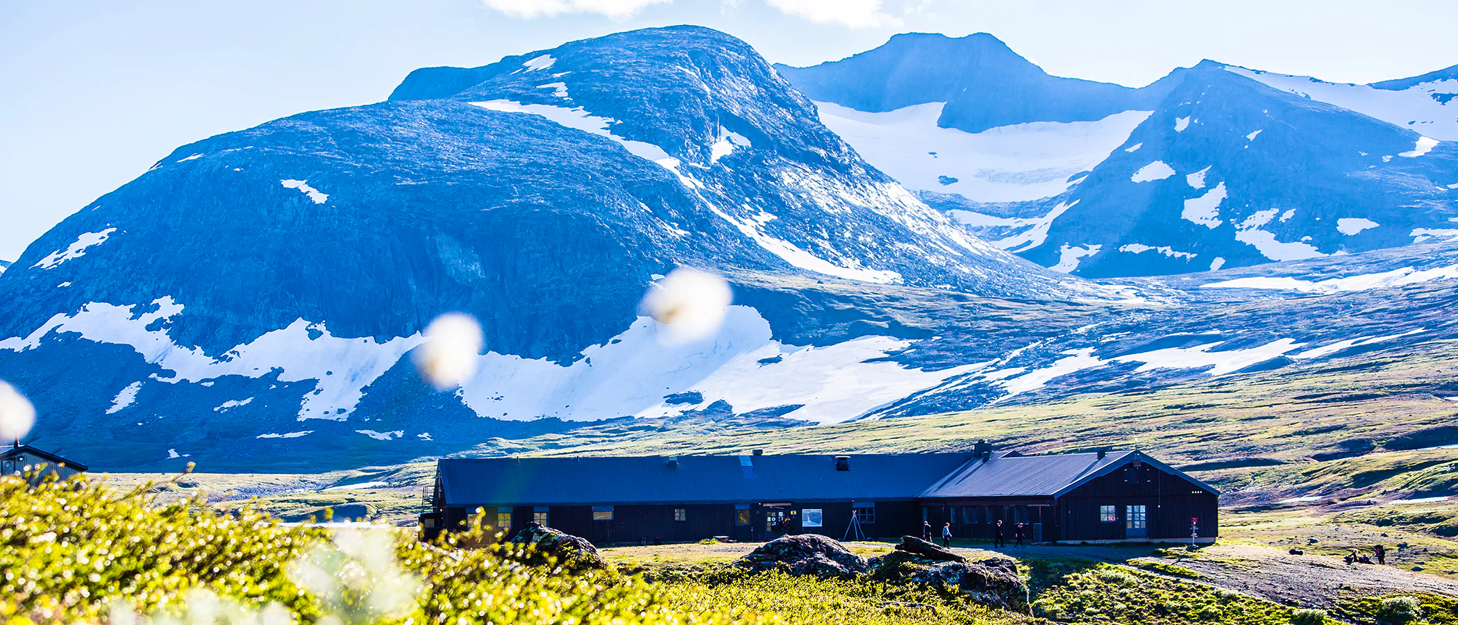
Section 2: STF Sylarna Mountain Station – STF Helags Mountain Station
19 km, 6–7 hours of hiking
Accommodation: STF Helags Mountain Station
Your hiking day starts along the Sylälven River, winding beautifully through the mountain landscape. After a few kilometers, the trail turns towards a trail junction where you will have two options. Choose the slightly shorter route signposted “Helags” and walk in the pass between Kläppen and Herrklumpen towards the shelter Mieskentjakke. Or take the more strenuous and high-alpine route via the U-shaped Ekorrpasset, which has steep mountain walls. From the pass, there is no summer trail, but it is possible to follow the winter trail until the trails meet again at Mieskentjakke.
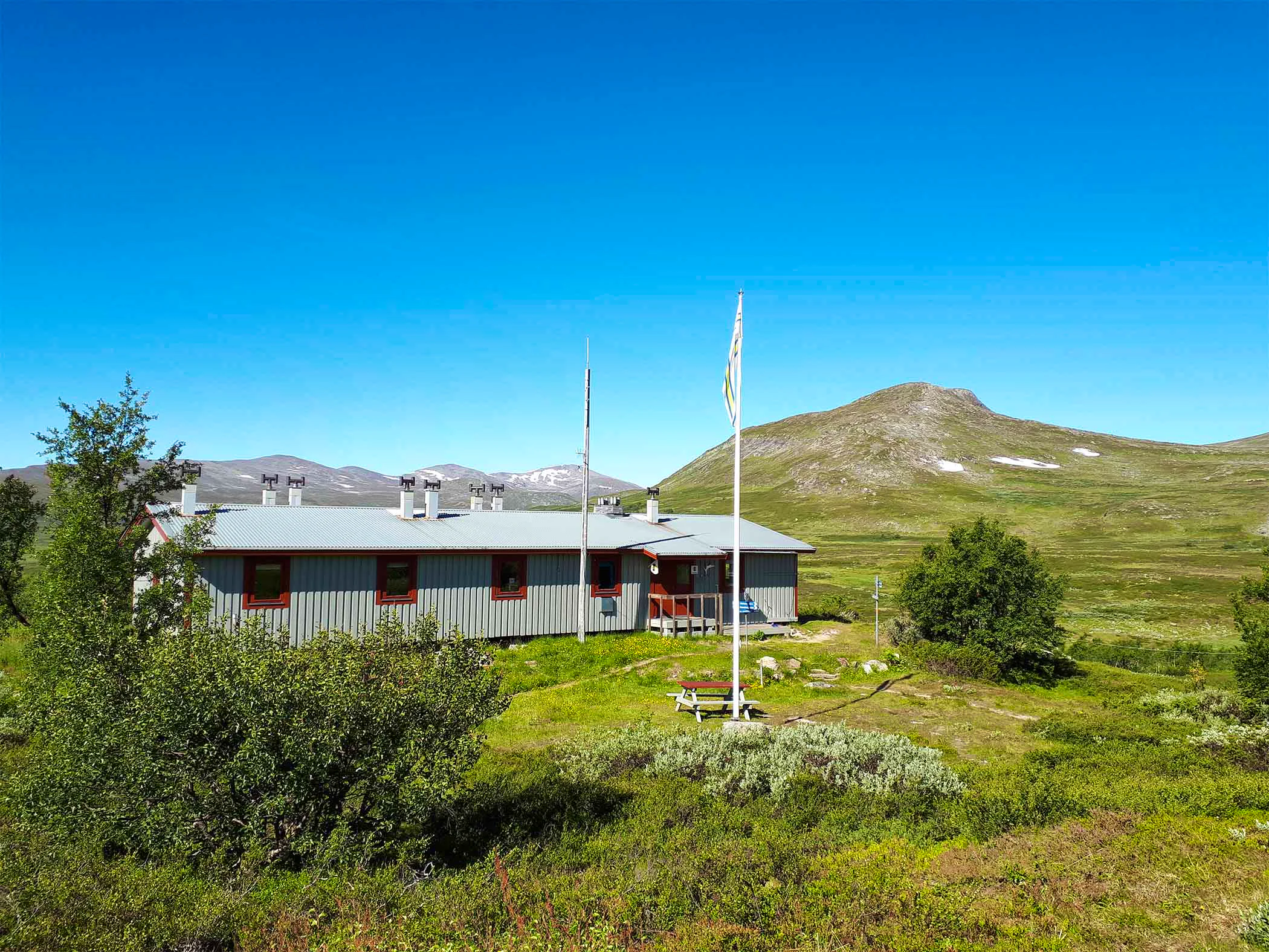
The final stretch follows a lovely path along Handölan, without significant elevation changes. STF Helags Mountain Station awaits at the foot of Sweden’s highest peak south of the Arctic Circle. Here, you’ll enjoy a magnificent view of the impressive Helags massif and its glacier towering 1,400 meters above sea level.
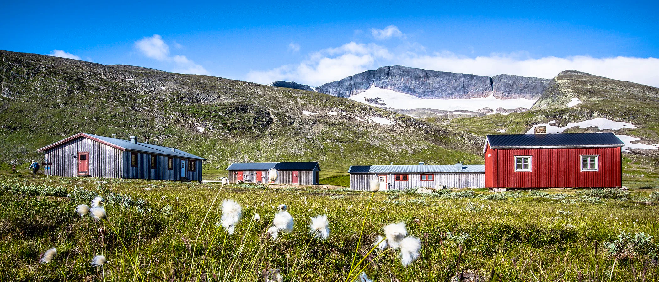
Section 3: STF Helags Mountain Station – STF Vålåstugorna
19 km, 6–7 hours of hiking
Accommodation: STF Vålåstugorna Mountain Cabin
The journey begins with a long downhill slope on the southern side of Jalketsåjja. The trail continues in relatively flat terrain past Krustjärn and between Krustjärnstöten and Slaajve. At the Ljungan shelter, the trail splits; choose to follow it north towards Vålåstugorna. The trail continues on the slope to the barren Härjångsfjället in the Vålådalen Nature Reserve, where a stretch follows a reindeer fence. From Härjångsån, it’s three kilometers to Vålåstugorna, beautifully situated at 900 meters above sea level.
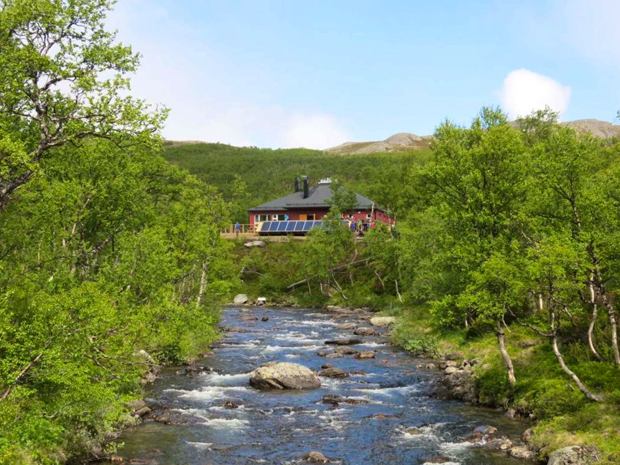
Section 4: STF Vålåstugorna – STF Vålådalen Mountain Station
20 km, 6–7 hours of hiking
Accommodation: STF Vålådalen Mountain Station
The trail between Vålåstugorna and Vålådalen begins with a mile-long hike in an open mountain landscape. The trail splits at one point with a detour towards Stensdalen; keep to the left. After a mile, you reach a two-kilometer-long slope down to Skaftet. The last mile goes through mountain birch forest in relatively flat terrain before reaching Vålådalen Mountain Station.
Read more about the sections
Would you like to know more about the individual sections? You can find additional information in our selection of stages.
Alternative sections
As an alternative, you can take a detour to STF Stensdalen Mountain Cabin or extend your route with STF Lunndörren Mountain Cabin. More information about these stages can be found in our selection of stages. From Helags, you can also take an alternative route via the closed STF Gåsen Mountain Cabin, but in that case, we recommend camping along the way. The stage between Helags and Gåsen is affected by the land lease agreement from 2023 in Jämtland and Härjedalen. Read more about the land lease agreement to find out which sections and accommodations are affected.
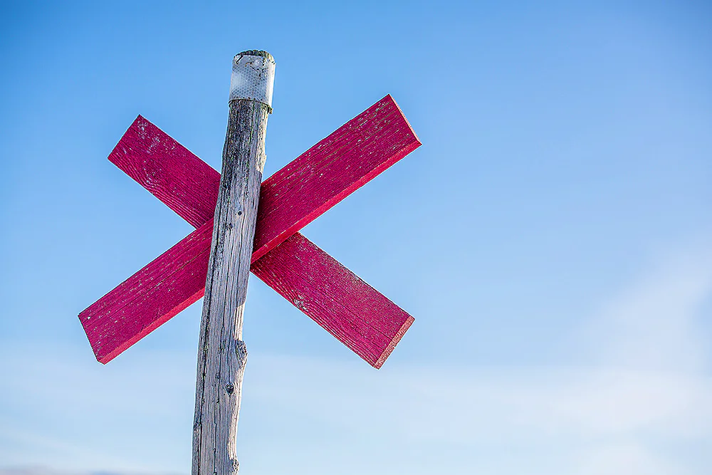
Trail markings
Check the trail markings before you set out. Winter trails are marked with crosses, while summer trails are marked with painted poles, stones, or trees. Winter trails can be difficult to follow in summer, so use a map and trail signs to navigate.
Read more about the trail systemAccommodation near Storulvån – Vålådalen

STF Lunndörren Mountain cabin
STF Vålåstugan Mountain cabin
STF Sylarna Mountain station
STF Stensdalen Mountain cabin
STF Helags Mountain station

STF Vålådalen Mountain station
More pages about the mountains

Mountain guide
Find important information about mountain safety, waste management, and what it’s like to stay in a mountain cabin.

Mountain safety
Learn how to prevent injuries, use a map and compass, and safely cross streams during your hike.

Mountain hiking
Discover hiking in the Swedish mountains, from day hikes to multi-day adventures.