Vindelfjällen
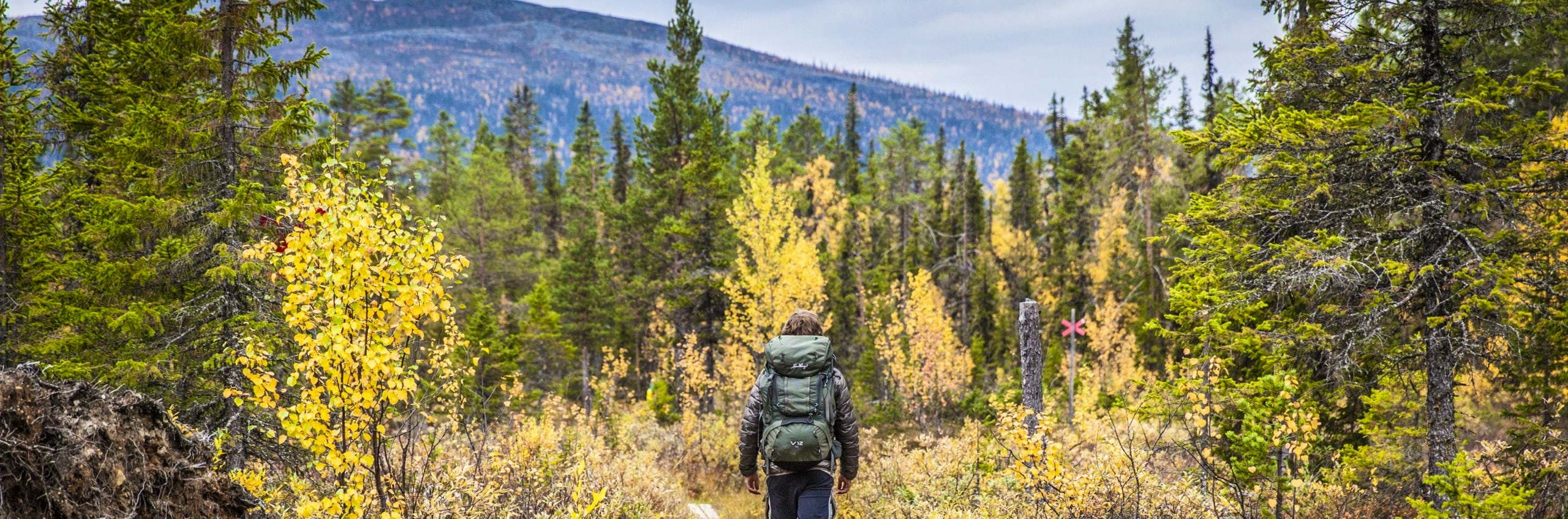
The Vindelfjällen Nature Reserve is like a summary of the Lapland mountains. Here you’ll find high mountain massifs, U-shaped valleys and alpine heaths. At lower elevations, there are mountain birch forests, bird-rich wetlands, fish-filled lakes and Sámi settlements. If you’re lucky, you might even spot an Arctic fox.
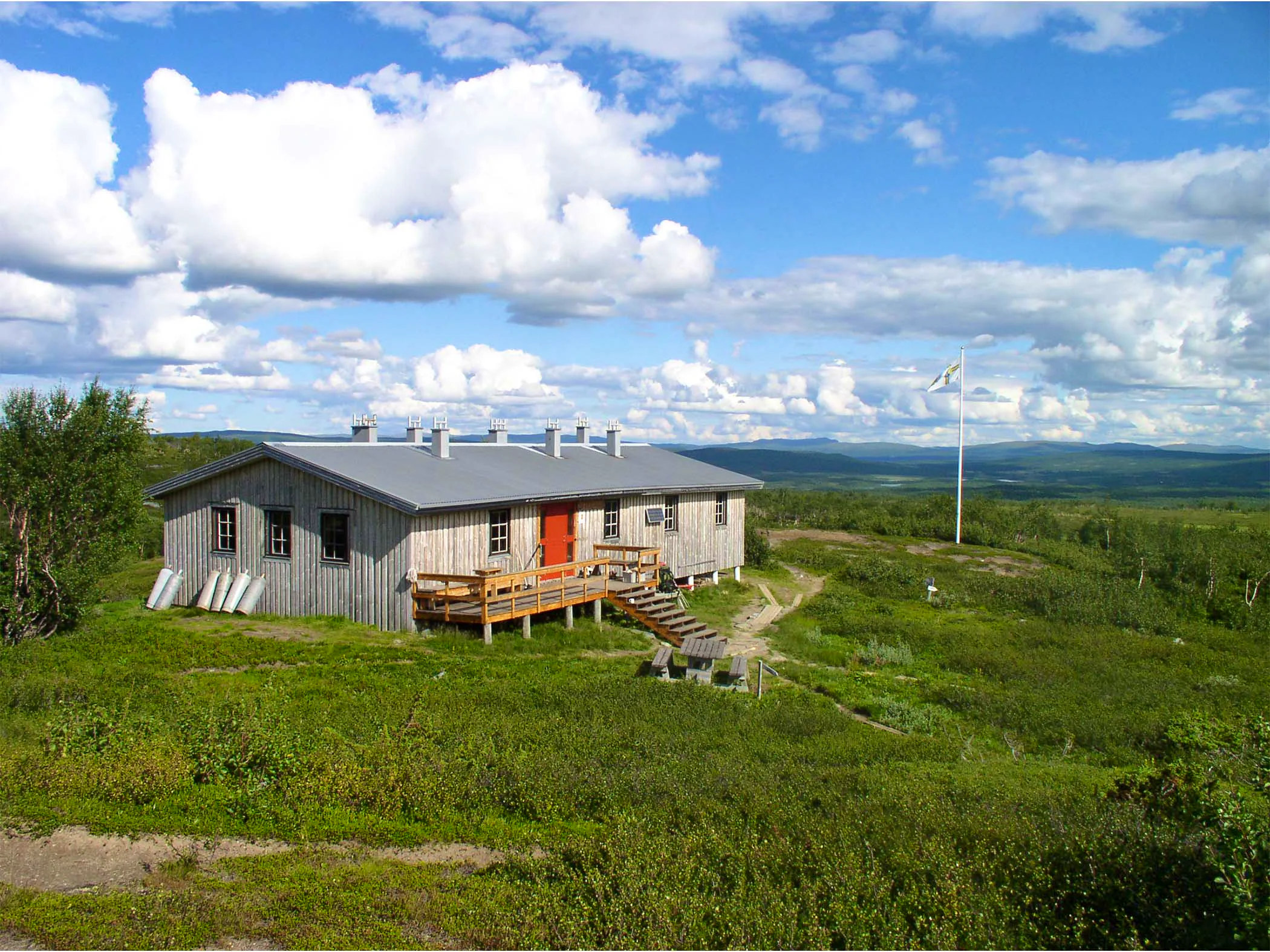
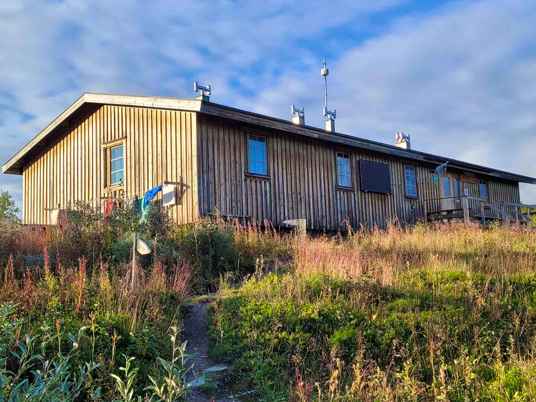
The section of the King’s Trail (Kungsleden) between Ammarnäs and Hemavan runs straight through the area, with STF cabins at the end of each day’s stage. If you hike south from Ammarnäs, you’ll face a tough ascent on the first day up to STF Aigert Mountain Cabin. For an easier option, you can take a boat across Lake Tjulträsket west of Ammarnäs to STF Serve Mountain Cabin.
On the stage between Aigert and Serve, you pass the second-highest point on the King’s Trail. Take a moment to enjoy the magnificent views of Ammarfjället. Birdwatchers and anglers often stop at Lake Tärnasjön. At its southern end, you’ll find the Tärnasjö archipelago, which you cross via long suspension bridges.
As you approach STF Syter Mountain Cabin, the views open up towards the Syter peaks. The U-shaped valley Viterskalet is locally known as the “southern Čuonjávággi (Lapporten).” Next to it rises Norra Sytertoppen, at 1,766 metres the highest peak in Vindelfjällen. From Viterskalet, the trail ends with a long descent down to Hemavan, the southern end of the King’s Trail. In Hemavan, you can stay at STF Hemavan Mountain Station and enjoy good food and a comfortable night’s sleep.
Directions
Quick facts
Mountain map
Vindelfjällen 1:100 000 Calazo
Trail length / daily stages
78 km / 6 days
STF Locations
STF Ammarnäs Wärdshus
STF Hemavan Mountain station
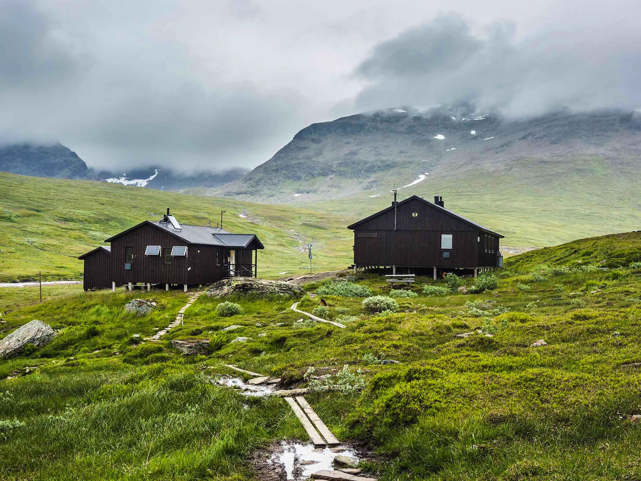
STF’s mountain cabins
More information
Vindelfjällens Nature Reserve (opens in new tab)
Map of Vindelfjällen
Navigate past map or other external content.This map is a planning tool and should not replace a physical map and compass. The service “Naturkartan” (opens in new tab) is operated by a company called “Outdoor map”. Please note that trail information is owned and updated by the respective trail administrator (e.g. municipality or county administrative board).
Visitor calendar
Do you prefer a quieter experience in the mountains? Our visitor calendar gives you an overview of typical occupancy levels in this mountain area, helping you plan your trip during less busy periods. During quieter times, we also often offer better prices. Please note that the visitor calendar is only an indication and does not account for variations due to events or holidays.
Week |
24 |
25 |
26 |
27 |
28 |
29 |
30 |
31 |
32 |
33 |
34 |
35 |
36 |
37 |
38 |
39 |
|---|---|---|---|---|---|---|---|---|---|---|---|---|---|---|---|---|
Hemavan |
Few visitors |
Few visitors |
Few visitors |
Few visitors |
More visitors |
More visitors |
More visitors |
More visitors |
More visitors |
More visitors |
Few visitors |
Few visitors |
Few visitors |
Few visitors |
Few visitors |
Few visitors |
Viterskalet |
Closed |
Few visitors |
Few visitors |
Few visitors |
Most visitors |
Most visitors |
Most visitors |
Most visitors |
More visitors |
More visitors |
Few visitors |
Few visitors |
Few visitors |
Few visitors |
Few visitors |
Closed |
Aigert |
Closed |
Few visitors |
Few visitors |
Few visitors |
Most visitors |
Most visitors |
Most visitors |
Most visitors |
More visitors |
More visitors |
Few visitors |
Few visitors |
Few visitors |
Few visitors |
Few visitors |
Closed |
Syter |
Closed |
Few visitors |
Few visitors |
Few visitors |
Most visitors |
Most visitors |
Most visitors |
Most visitors |
More visitors |
More visitors |
Few visitors |
Few visitors |
Few visitors |
Few visitors |
Few visitors |
Closed |
Tärnasjö |
Closed |
Few visitors |
Few visitors |
Few visitors |
Most visitors |
Most visitors |
Most visitors |
Most visitors |
More visitors |
More visitors |
Few visitors |
Few visitors |
Few visitors |
Few visitors |
Few visitors |
Closed |
Serve |
Closed |
Few visitors |
Few visitors |
Few visitors |
Most visitors |
Most visitors |
Most visitors |
Most visitors |
More visitors |
More visitors |
Few visitors |
Few visitors |
Few visitors |
Few visitors |
Few visitors |
Closed |
Accommodation along the trail
STF Syter Mountain cabin

STF Ammarnäs Wärdshus
STF Hemavans Fjällcenter
STF Serve Mountain cabin
STF Viterskalet Mountain cabin

STF Aigert Mountain cabin
More hiking pages

Hiking
On this page you will find helpful tips and information for your hike.

Hiking trails in Sweden
On this page we present a selection of popular and high-quality trails across the country.

Mountain hiking
Discover hiking in the Swedish mountains, from day hikes to multi-day adventures.