Fulufjället
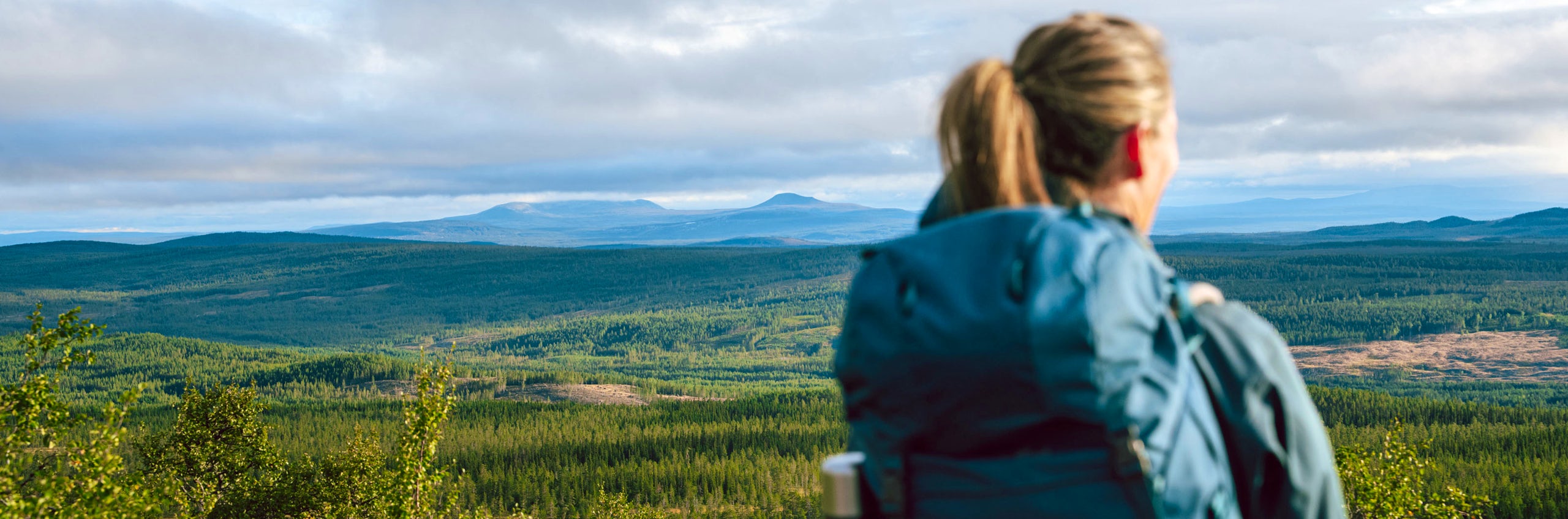
Fulufjället National Park is an easily accessible mountain area with plenty to discover. Here you’ll find one of Sweden’s highest waterfall, the world’s oldest tree, and well-maintained hiking trails.
Fulufjället is a great option for those who want a real mountain experience and to stay in a mountain cabin without having to travel or hike long distances. From the car park, it’s only 1.5 kilometres to the treeline. The hiking trails in the area are short and easy to walk, making the park ideal for families with children or for anyone looking to enjoy the mountains over a weekend. In total, the national park offers 140 kilometres of marked trails.
The national park is easy to explore and well adapted for visitors, with gravel paths, bridges and boardwalks leading to the Njupeskär waterfall and the world’s oldest tree, Old Tjikko. The STF mountain cabins Rörsjöstugorna are only about a 1.5-hour hike from the Naturum car park. Be sure to visit Naturum to learn more about the national park and everything there is to experience here.

Hiking trails in Fulufjället National Park
Lavskrike Trail
2 km. The Lavskrike Trail starts at Naturum and is an accessible circular trail suitable for both strollers and wheelchairs. The loop consists of compacted gravel and wooden boardwalks.
Njupeskär Loop
3.9 km. This trail is gravelled, boardwalked and easy to walk. A beautiful nature trail with information boards and enchanting scenery along the Njupån valley, featuring 400-year-old spruce trees. Only parts of the trail are adapted for wheelchairs and strollers. The Njupeskär Trail is a summer trail, and during winter it can be very slippery in places. Visitors are advised not to enter the Njupeskär ravine due to the risk of rockfalls and avalanches.
Jaktfalk Trail
5.5 km. A longer version of the Njupeskär Loop that passes above the waterfall before returning to the main entrance. The trail is suitable for experienced hikers, as it includes a steep ascent that many perceive as climbing. Above the waterfall, the hike is very demanding due to rocky terrain. Not recommended in rainy weather, as the trail becomes extremely slippery.
Rösjö Trail
9 km, 15 km or 20 km. The trail starts at the national park’s main entrance. Follow the trail towards Njupeskär, then turn uphill at the Njupeskär cabin. At the next junction (in the middle of a boulder field, where signage can be easy to miss), follow the signs towards Lorthån. At the following junction, choose your route:
– 9 km: take the trail towards Rösjön
– 15 km: take the trail towards Harrsjön and then back towards Rösjön
– 20 km: continue towards Lorthån and then towards Harrsjön. From Harrsjön, follow the trail back to Rösjön. From Rösjön, follow signs back towards the car park and the Njupeskär café.
Bergådals Trail
24 km. Starts at Naturum and follows the most direct route to Rörsjöarna, passing Harrsjöarna, Bergådalsstugan and Särnmanstugan, before returning to Rörsjöarna and Naturum. Add 3 km if you wish to visit Njupeskär. Well suited for an overnight hike, for example at the Rörsjöstugorna mountain cabins.
Göljå Trail
17 km. Intended for experienced hikers and very challenging in parts. Starts at the Göljån car park. The trail follows the Göljån valley up onto the open mountain plateau. Two rest shelters are located along the route. There is also a shorter nature trail around the area affected by the rain disaster.
Tangsjö Trail
22.5 km. Starts at the Brottbäckstugan car park. A gentle ascent leads up to the open mountain plateau. The trail passes Särnsjöarna and Tangsjöarna. There is an overnight shelter and a rest shelter along the way. A side trail leads to Altarringen (4 km).
Post Trail
12 km through the park. Starts in Gördalen. This is an old cultural route marked with blazes on trees and is therefore not fully waymarked. The trail was used for mail transport between Särna and Gördalen until the 1920s.

Accommodation in Fulufjället


Quick facts
Getting here
Fulufjället is located in north-western Dalarna, close to the Norwegian border. The main entrance is about 25 km west of Särna. Follow National Road 70 north from Särna. After 4 km, turn left towards Mörkret and Gördalen. From Mörkret, follow the signs to Fulufjället National Park.
If you wish to travel by public transport to the main entrance, you can book your journey to Särna and then book flexible transport via Dalatrafik.se (opens in a new tab). There are also several alternative entry points to the national park, listed on Sverigesnationalparker.se (opens in a new tab).
Maps
Sälen & Fulufjället 1:50.000 – Calazo
An interactive map is available on the County Administrative Board of Dalarna’s website (opens in a new tab).
Learn more
More information about Fulufjället National Park can be found on Sverigesnationalparker.se (opens in a new tab) and on the County Administrative Board of Dalarna’s website (opens in a new tab).