Fältjägaren – Ramundberget
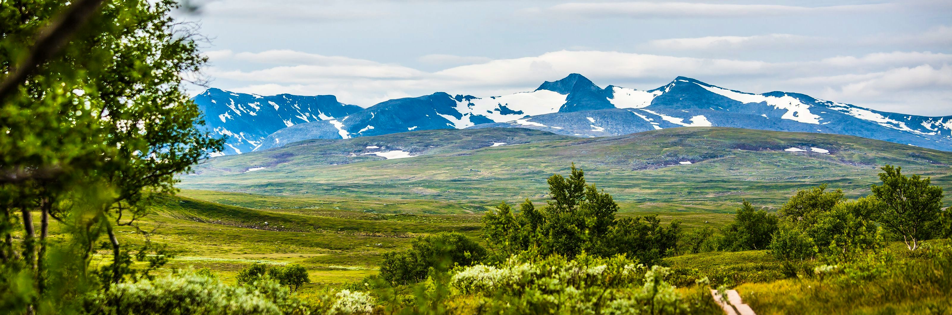
An easy route in a gently rolling landscape where for the most part you walk in dry heath country. To the west you can see the striking Skarsfjället peak towering over you at 1,594 metres above sea level.
After a few kilometres’ walk, you’ll reach the Mittån river. From this point the trail goes steadily uphill to the Svaletjakke mountain shelter, which is about halfway along the route. The trail divides at the shelter – follow the eastern stretch that goes down towards the Ramundberget mountain in its gorgeous valley setting.
The last stretch of the trail goes steeply downhill in mountain birch forest and ends at a bridge over the Ljusnan River. The facility is situated as an outpost at the end of the path, where it meets the unspoiled mountain realm.
Reindeer herding is practiced in this area, thank you for showing consideration!
Learn more about how to avoid disturbing the reindeer.
Short facts
Mountain map
Calazos ”Funäsfjällen”, 1:50 000
Buy your map at Kartbutiken.se (opens in new tab), where you receive a discount as a member.
Stage length / time
16 km / 5 – 6 hours
Elevation difference
1 050 – 710 meters above sea level