Rogen – Skedbro
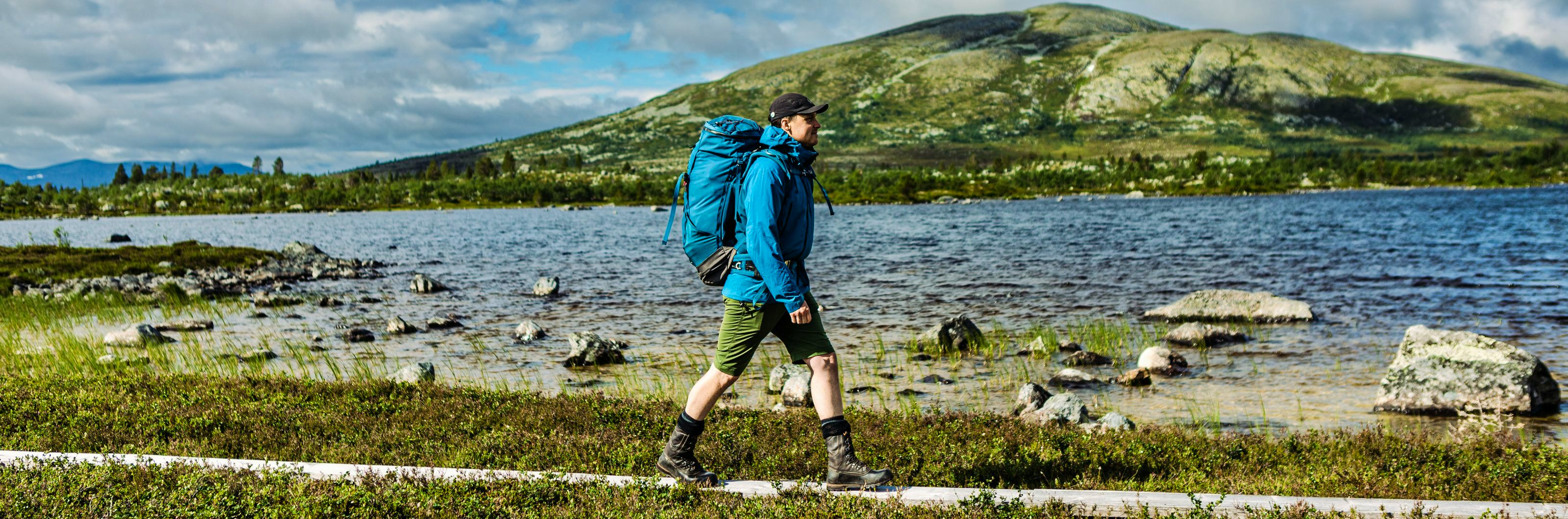
At the junction of paths immediately north of STF Rogen, you continue northwest, over pine-covered heaths and ridges until you reach the bridge over Lake Öster-Rödsjön’s outlet. On your left-hand side you have Lake Rogen and on your right a chain of small lakes. You then walk on the south side of the 1,000-metre Bustvålen summit. The trail divides southwards towards Svukuriset on the Norwegian side and northwards towards Skedbro. The last stretch to STF Skedbro includes boarded walkways over marshes and rough passages, but also heaths that make for easy walking.
There is an alternative route from STF Rogen to STF Skedbro via Lake Käringsjön. Read more here about the STF Rogen – Käringsjön – STF Skedbro trail.
Reindeer herding is practiced in this area, thank you for showing consideration!
Learn more about how to avoid disturbing the reindeer.
Short facts
Mountain map
Calazos ”Grövelsjön & Rogen” 1:50 000
Stage length / time
17 km / 5 – 6 hours
Elevation difference
760 – 780 meters above sea level