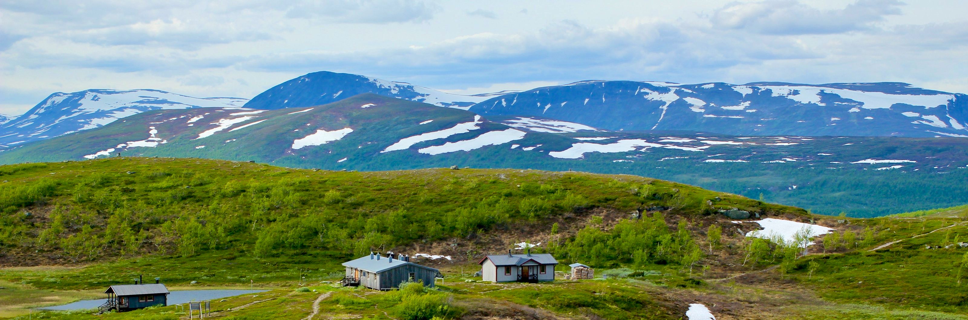
Viterskalet – Hemavan
You leave the cabin in Viterskalet and walk in a southwesterly direction between the extensive foothills of the Västra Syterbäcken and Södra Sytertoppen. The trail starts out flat on the open mountainside along a rippling brook. Remember that this is a reindeer herding area – please treat it with respect and consideration.
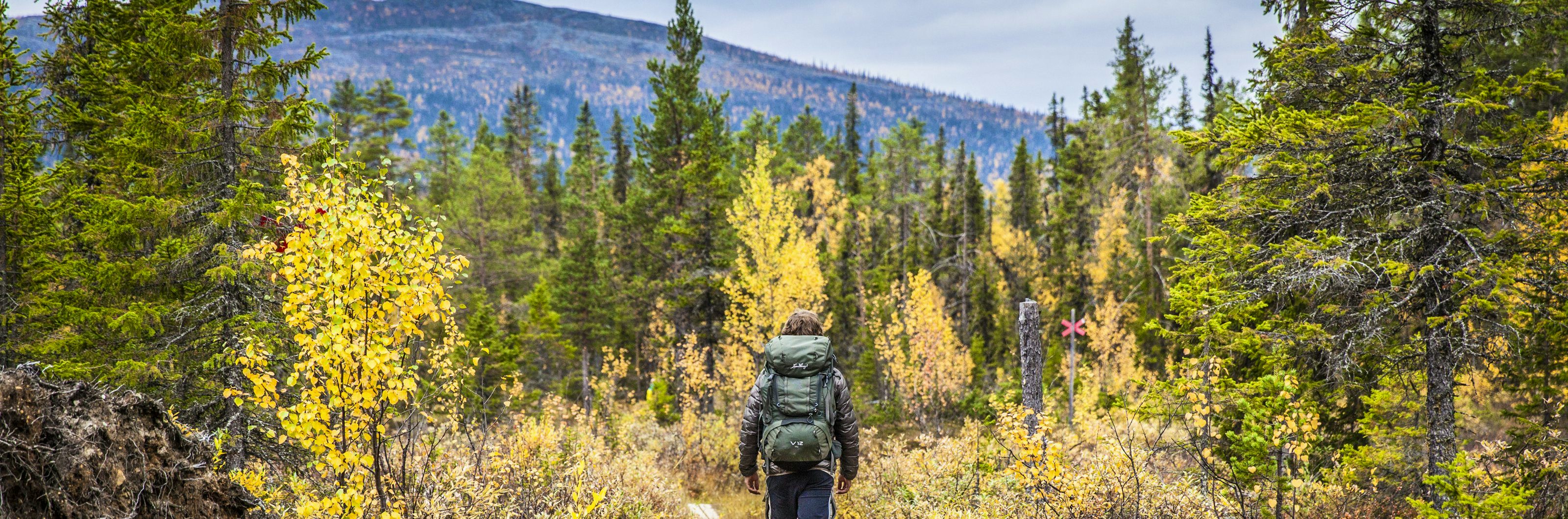
After several kilometres, the trail goes gently uphill and diagonally across. You’ll see the odd mountain birch at the side of the route before you get to the Hemavan skiing area. From that point there are several paths to choose from. Most walkers take the long route that ends up at Hemavans Naturum nature study centre – the southern starting point of the Kungsleden trail.
Short facts
Mountain map
Calazos ”Ammarnäs & Hemavan” 1:100 000
Buy your map at Kartbutiken.se (opens in new tab), where you receive a discount as a member.
Stage length / time
11 km / 3 hours
Elevation difference
880 – 460 meters above sea level