
E-paths in Sweden
It is actually possible to hike all the way from the North Cape to Sicily. In Sweden, these so-called European long-distance trails run either from Varberg to Grövelsjön or from Malmö to Grisslehamn.
The European trails were created to help people from different parts of Europe experience a sense of connection through hiking. In Sweden, two of these trails were established on the initiative of STF, by linking together existing regional trails.
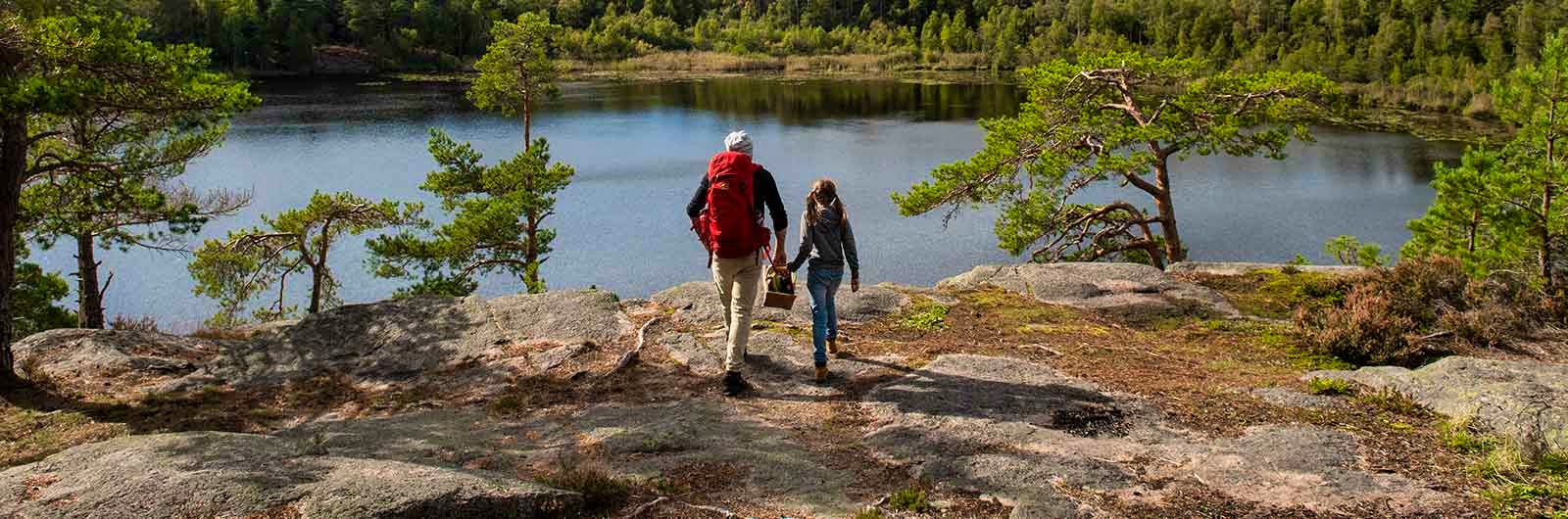
The trails are well marked and often equipped with rest areas or wind shelters, and sometimes also toilets, water and fire pits. Near some of the trails, you can also stay at one of STF’s many accommodations.
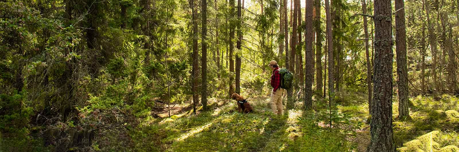
Hiking on regional and local trails is actually neither complicated nor dependent on any special prior knowledge. Of course, you should bring good shoes and rainproof clothing, but apart from that, curiosity and a good map are your best guides.
Protected nature
Please note that you will pass through protected areas at several points along the trail. Make sure to check the regulations for the specific area you are visiting regarding overnight stays, making fires, and other activities.
Swedish sections of the E-paths
Questions and answers
How do I find information before my hike?
In Sweden, you can find information about the regional trails that form part of E1 and E6 in brochures, maps and guidebooks. However, most information is available online. On each stage page on our website, you will find links where you can read more about the specific trail and stage.
Which European long-distance trails pass through Sweden?
Two European long-distance trails pass through Sweden: E1 and E6. E1 continues via Denmark, through Germany and Switzerland to Italy. From Sweden, E6 continues through Denmark, Germany and Austria and into the Balkans before ending in Greece. This means you can hike, for example, from Norrtälje to the Mediterranean. For more information about the European long-distance trails in other countries, please visit the European Ramblers’ Association website (opens in new tab).
Why do the European long-distance trails exist?
The European long-distance trails were created by the European Ramblers’ Association.The idea behind the European long-distance footpaths (E-paths) is to express the connection between people from different European countries. In Sweden, the E-paths were initiated by STF by linking existing regional trails together in a natural way.
What accommodation options are available along E1 and E6?
The majority of the trails are well marked, often with orange bands around trees and posts. At suitable starting and end points, there are usually information boards with an overview map of the local trail. Most trails currently lack specific markings for the European long-distance trails. These markers have a blue background with 15 yellow European stars surrounding either E1 or E6. Where E-path markers exist, they complement the regular trail markings.
Please note that the E-paths consist of continuous regional trails where different municipalities, regions, foundations, etc. are responsible for maintenance, markings, and updating information about trail maps, shelters and rest huts.
Many trails have shelters, sometimes also with toilets, water and fire pits. With a sleeping bag in your pack, these shelters can be used for overnight stays. Some trails also have unmanned cabins for overnight stays. Carrying a hammock is another popular option. The standard of shelters and overnight cabins can vary between trails.
You can also stay in hostels, campsites, inns, hotels and bed & breakfasts if you are doing a multi-day hike. Sometimes these options are located close to the trails, and sometimes you may need to travel a bit further from the trail to reach them.
Which maps should I use?
We recommend using up-to-date paper maps, supplemented with digital maps and GPS apps. We suggest the GPS apps Topo GPS Sverige (opens in new tab), Lantmäteriet’s Min Karta (opens in new tab), and Naturkartan (opens in new tab).
What equipment do I need?
Hiking on the E1 and E6 trails in Sweden means walking on regional and local trails. You can hike from early spring to late autumn in many areas. In parts of southern Sweden where winter snow does not prevent access, hiking is possible year-round. No special equipment is required, but good shoes or boots and rain gear are essential. In several places, the trails pass through small communities where you can resupply and refill water. However, make sure to read up on each section carefully, as some stretches involve several days of hiking without access to supplies or water.
Are the European long-distance trails marked?
The trails are marked, often with orange bands around trees and posts. At suitable starting and end points, there are usually information boards with an overview map.
To indicate that a trail forms part of E1 or E6, there are also information boards placed at longer intervals, and between these you may find specific E-path markers more frequently. These have a blue background with 15 yellow European stars surrounding either E1 or E6.
The E-markings therefore complement the regular Swedish trail markings.
How many European long-distance trails are there?
Today, twelve European long-distance trails cross Europe. Two of them have sections in Sweden. The designations E1, E6 and E12 refer to European long-distance trails – something far more exciting than European motorways.