


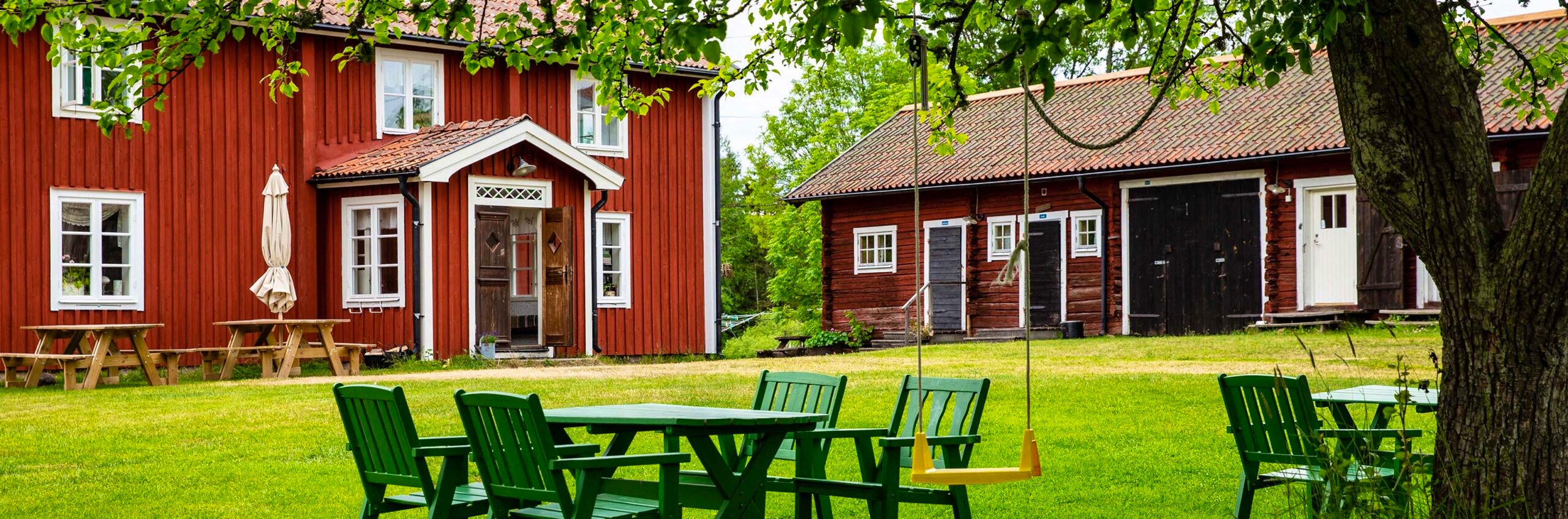
STF Torröstugan Färnebofjärden
Traditional red cabin on an island in the Dalälven river
Our service
Some rooms are available in which pets may accompany guests.
Car parking is available next to the property, a fee may apply.
Less than 1 kilometer to marked hiking trail.
Less than 1 kilometer to bathing site.
It is possible to book the entire accommodation.
Contact and opening hours
Address:
Torröstugan
811 98
Österfärnebo
From Gysinge: Drive north of Färnebofjärden via Österfärnebo–Bärrek–Hovnäs.
From Sala: Take highway 70 north to Broddbo, then via Möklinta to Hovnäs ferry (operates May 1 – October 30). Outside this period, cross the river at Näs bruk and continue north of the river to Hovnäs.
From Hovnäs, follow the road east along the river until it ends at a turning area. Park here and walk about 100 meters east to Stadarna or 50 meters straight ahead to the boat that takes you to Torrön.
For a map, search for "Stadarna" on Eniro.
GPS coordinates
WGS84
60°11'50.6"N 16°41'50.9"E
WGS84 DDM
60°11.844'N 16°41.849'E
WGS84 decimal (lat, lon)
60.197398, 16.697485
RT90 (north, east)
6675769, 1549496
SWEREF99 TM (north, east)
6674605, 594110
GPS-coordinates
N60.198459358371°, E16.705141067505°Contact:
Do you need help with your booking?
Check-in and check-out times:
Opening hours
2026:
May 11 - September 27
Number of rooms
2
Number of beds
< 10

Help us make a difference
We believe that when more people discover our beautiful nature, more people will want to protect it. By being a member, you contribute to the work to influence for a more sustainable tourism and outdoor life.
Join STFMore information
See all our accommodations
Find your next accommodation on our map.

Hiking trails in Sweden
Explore Swedens hiking trails.
Join STF
Become a member and enjoy discounts on our accommodations.