The mountain trail system
The state-managed trail system consists of approximately 5,500 km of marked trails, of which 2,250 km are in Norrbotten and 1,940 km in Jämtland. Bridges, shelters and rowing boats are also part of the system. In addition to the state trails, there are around 2,500 km of trails near communities and tourist facilities in the mountain region.
Winter trails
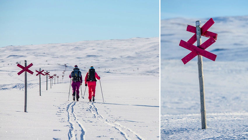
Winter trails are marked with poles topped with a red cross, known as trail markers, placed about 40 metres apart. Two crosses on the same pole indicate a change in direction. Some sections are marked with brushwood markers instead – red poles fitted with reflectors, pushed into the snow. These are also used where winter trails cross lakes and waterways.
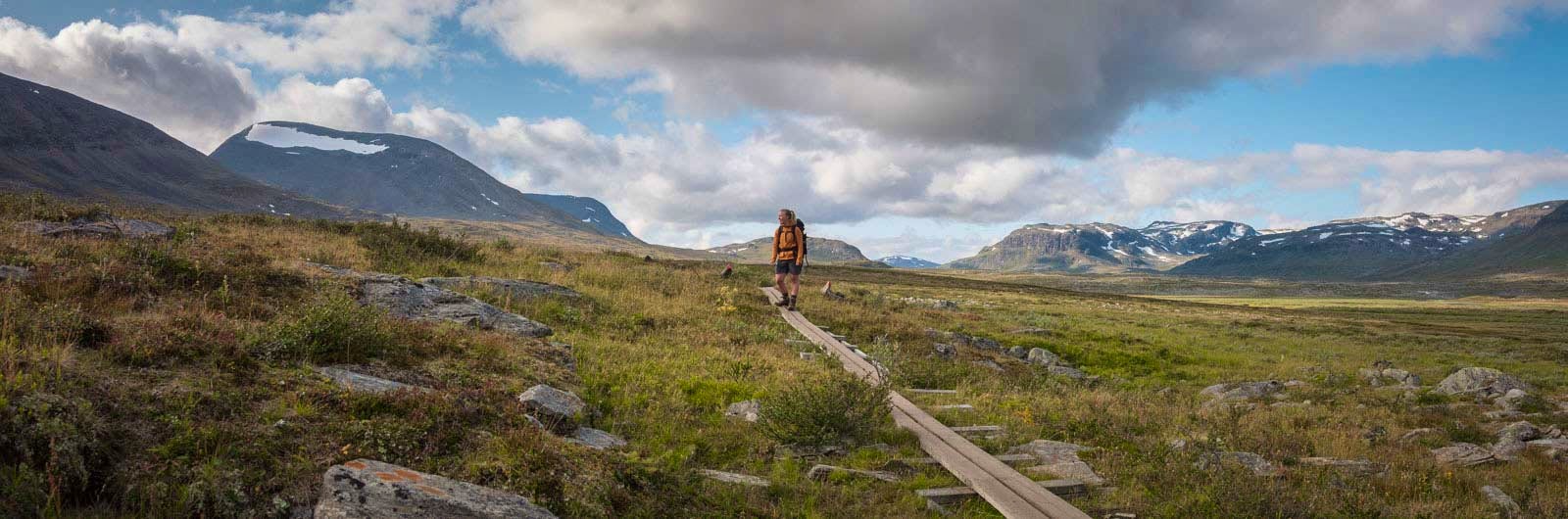
Summer trails
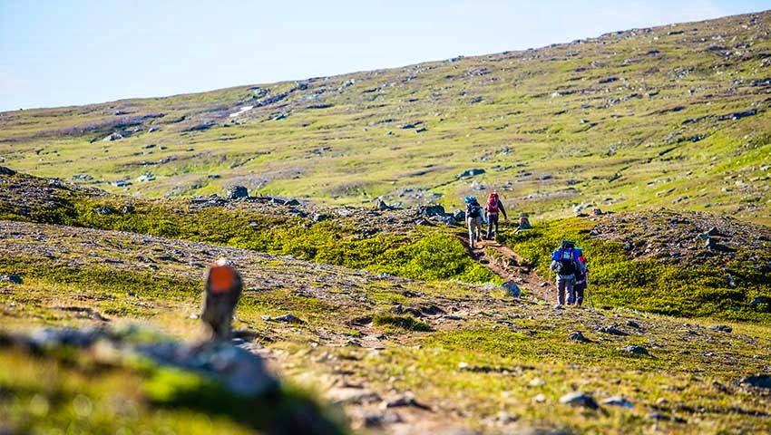
Summer trails are well-trodden paths, with painted poles or stones marking the route where it may be difficult to follow. In forest terrain, markings may also be painted on trees.
Summer and winter trails often follow the same route and are then marked as winter trails. Some winter trails can be difficult to follow in summer, as they may pass through wet marshes and across lakes. Use maps and trail signs along the route to stay on track.
Winter and summer trails are marked differently on maps.
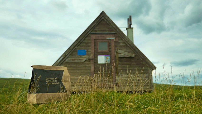
Rest shelters along the trails
The shelters strategically placed along mountain trails are important for safety. They are intended for breaks and emergency situations, not for overnight stays. The shelters are equipped with a wood-burning stove and benches. Any firewood provided should only be used in emergencies. Most shelters in the state trail system are equipped with an emergency phone, and there is usually a dry toilet and a waste room at the shelter.
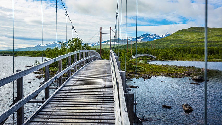
Bridges along the trails
Where summer trails cross larger waterways, bridges are provided on the most frequently used routes. Some exposed bridges are removed after the summer season to prevent damage from snow pressure, ice breakup or spring floods.
Certain trails may become impassable when the bridges are not in place. If you plan to hike early or late in the season, make sure to check that the relevant bridges are installed. Contact the county administrative board for up-to-date information.
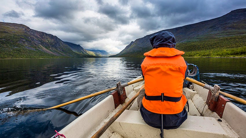
Rowboats along the Kungsleden trail
Where trails cross larger waterways or lakes, some locations have designated rowing crossings with at least one boat on each shore. These locations are marked on mountain maps. After 20 September, the boats are taken out of the water and locked away for winter storage.
When using the boats, you are responsible for ensuring that one boat remains on each side of the water. This may mean rowing across three times. First, you row across to collect the second boat, then row back towing it, pull it up on shore, and finally row across again to continue your hike. On the most frequently used routes, there are three boats, which can reduce the number of crossings needed. The boats may only be used for crossings. After use, they must be pulled up and securely tied.
Boats available at the following locations:
- Aktse (Laitaure, map sheet BD10) – three boats.
- Teusajaure (map sheet BD8) – three boats.
The County Administrative Board’s mountain management provides information on when the boats are put in and taken out of the water. If you plan to hike early or late in the summer season, contact the County Administrative Board to make sure the boats are available.
The boats are free to use, and no one has the right to charge you for using them.
The rowing route at Sitojaure/Kåbtåjaure (BD10 on Kungsleden) has been discontinued since 2021. Here, private boat transport is required.
Visit the County Administrative Board’s website (in Swedish, opens in new tab) for more information.
At the lakes in Aktse and Teusajaure, private motorboat transport is also available. You can get a ride during the periods when STF’s mountain cabins are staffed with hosts. Read more about boats in the mountains here.
More pages about the mountains

Mountain guide
Find important information about mountain safety, waste management, and what it’s like to stay in a mountain cabin.

Mountain safety
Learn how to prevent injuries, use a map and compass, and safely cross streams during your hike.

Mountain hiking
Discover hiking in the Swedish mountains, from day hikes to multi-day adventures.