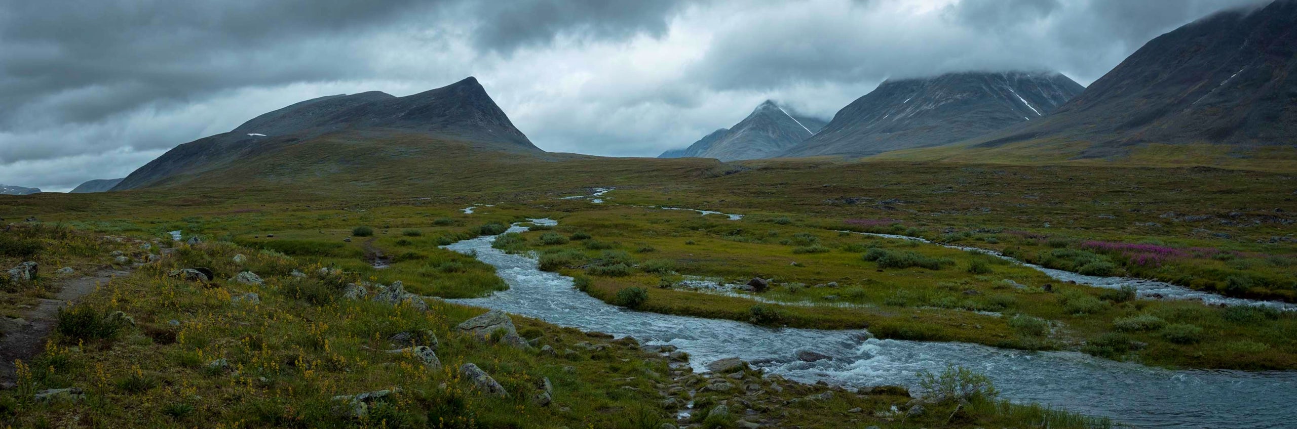
Kebnekaise – Nikkaluokta
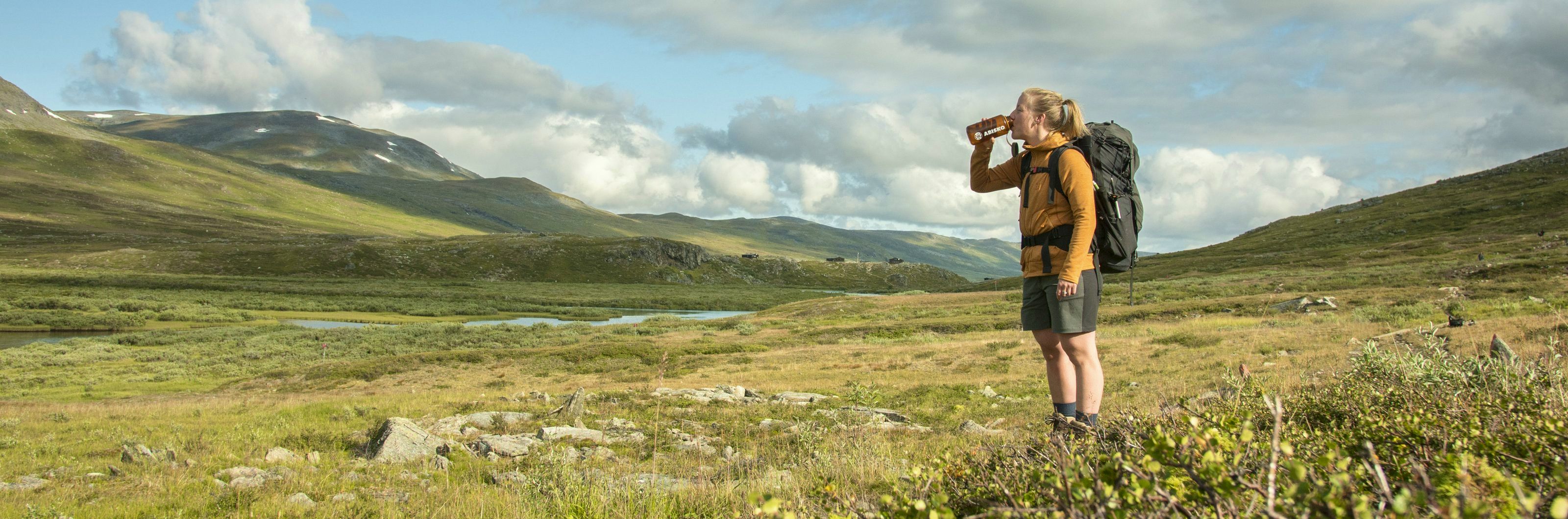
A few kilometres east of the STF Kebnekaise mountain station, you cross the Tarfalajåkka mountain stream, which dewaters the glaciers of Tarfaladalen. The route continues gently upwards following an often stony path, with wooden walkways in places. The birch forest becomes gradually denser as you walk.
You can choose to take a boat trip for part of the way, which shortens the hike by 6 kilometres. The service is run by a local entrepreneur and departs several times a day, following a published timetable. At the lower boat jetty you can find a coffee bar in a Sámi tent, and Lap Dånalds, which serves reindeer burgers.
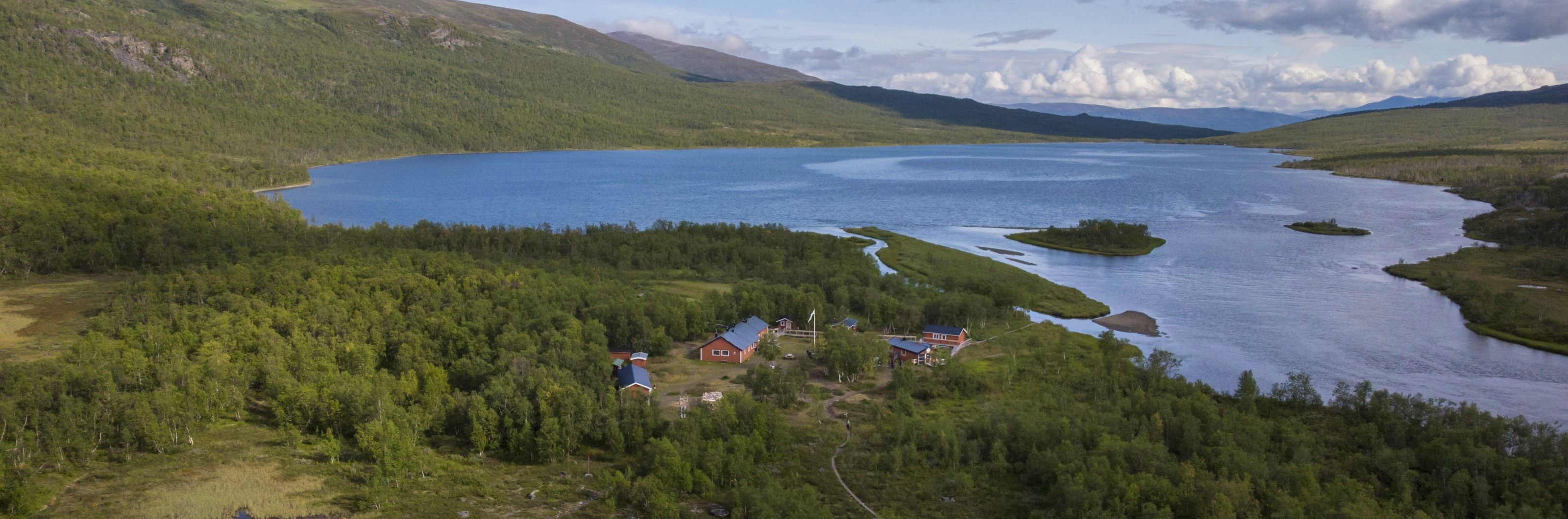
The final stretch is along a narrow, stony and well-worn tractor road. The hike ends in the village of Nikkaluokta where you can find a restaurant and small shop.
Short facts
Mountain map
Kungsleden: Kebnekaise, Abisko och Riksgränsen 1:50 000 Calazo
Buy your map at Kartbutiken.se (opens in new tab), where you receive a discount as a member.
Stage length / time
19 km / 5 – 7 hours
Elevation difference
470 – 650 meters above sea level