Signature trail Kinnekulle
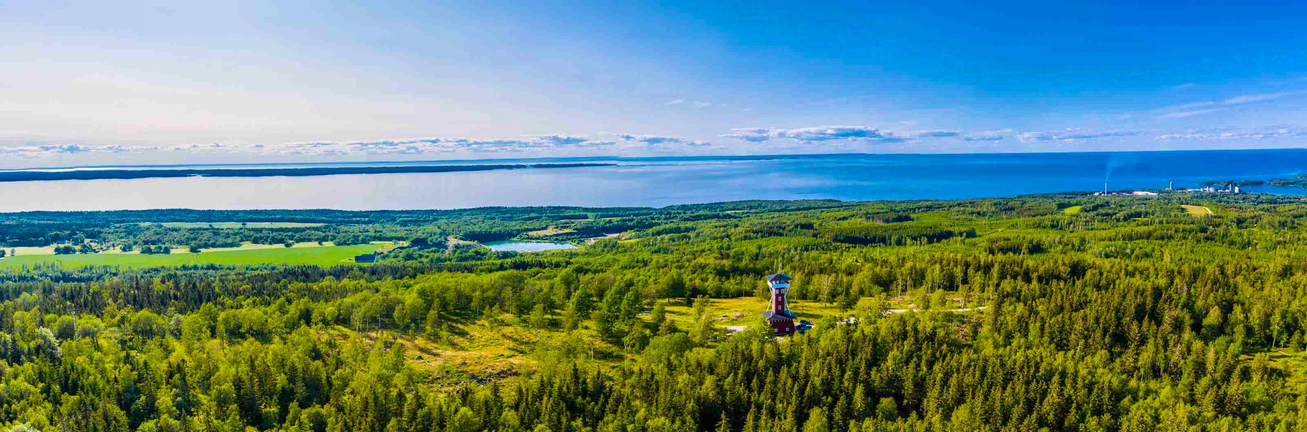
On the shores of Lake Vänern in Västergötland lies “the flowering mountain” – Kinnekulle, a plateau mountain with two UNESCO designations.
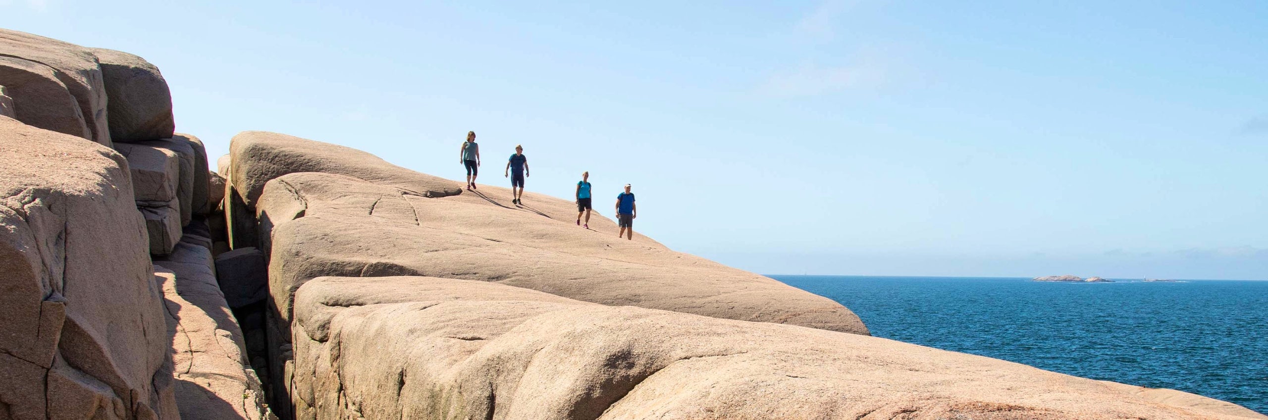
Rising just over 300 meters, this plateau offers varied nature with lush deciduous forests, flower-rich pastures, viewpoints, limestone quarries and beautiful historic buildings. Along the way, you can visit cosy cafés or enjoy a refreshing swim.
The hiking trail is one of STF’s signature trails – an especially beautiful, quality-assured multi-day hike.
Quick facts
Map of Signature trail Kinnekulle
Navigate past map or other external content.This map is a planning tool and should not replace a physical map and compass. The service “Naturkartan” (opens in new tab) is operated by a company called “Outdoor map”. Please note that trail information is owned and updated by the respective trail administrator (e.g. municipality or county administrative board).
Discover the Signature trail Kinnekulle
Kinnekulleleden takes you on a journey deep into Sweden’s fascinating natural and cultural heritage. Kinnekulle is part of the UNESCO Biosphere Reserve Vänerskärgården med Kinnekulle, one of the world’s model areas for sustainable development, and of Platåbergens UNESCO Global Geopark – Sweden’s first. The 45 km trail winds across the plateau, just over 300 meters high.
A visit to the viewpoint tower at Högkullen is highly recommended. From here, in clear weather, you can enjoy magnificent views stretching towards Läckö Slott and Lake Vänern. In spring, Martorpsfallet rushes powerfully over the limestone formations, and in early summer, the ground in the Munkängarna nature reserve is covered with blooming wild garlic.
This is a culturally rich landscape that has been inhabited for thousands of years, as evidenced by rock carvings, burial sites and ancient farmland. The area is also home to many historic manor houses and churches.
See and do along the trail
There are several swimming spots along the trail, so don’t forget to pack your swimwear. Visit the lookout tower at Högkullen, fish for trout at the limestone quarry (fishing permit required), or stop at one of the many charming cafés along the way. Don’t miss Hellekis Säteri (opens in new tab), which dates back to the Middle Ages. Although the beautiful light yellow residence is private, the garden, café, and restaurant are popular stops for hungry hikers.
Transport to the trail
Take the Kinnekullebanan train directly to the trail, starting and ending your hike at Råbäck Station. You can book your train ticket with SJ (opens in new tab). The Kinnekullebanan runs along the western side of the trail, making it easy to tailor your hike based on how far you want to walk. Train stations at Blomberg and Råbäck are right next to the trail, and Trolmen is a few hundred meters away. Hällekis is about two kilometers from the trail, with a train station, good parking options, and a grocery store.

Stages of the Signature trail Kinnekulle
Stage 1: Råbäck – Lasse’s Cave
20 kilometers, 4–6 hours of hiking
Accommodation: Tent by Lasse’s Cave
Start your hike at Råbäck train station and follow the white markers toward the trail, approximately 750 meters away. Once you reach the Kinnekulle trail markers, head right to begin your journey toward Lasse’s Cave. You’ll walk through Gröne Skog and the old limestone quarries, then pass Råbäck’s harbor with its historic stonecutting workshop. The trail continues through Västerplana Storäng and its deciduous forests. At Blomberg, you can take a detour to the popular Café på Klostret, located in a rustic barn, for homemade treats. If it’s a warm day, you may prefer a westward detour to Blomberg Beach for a refreshing swim in Lake Vänern. The final four kilometers to the endpoint pass through Halla Nature Reserve, with beautiful forested areas. Lasse’s Cave is one of Kinnekulle’s most curious spots, where “Sweden’s last caveman” lived in the 1800s. Here you’ll find a shelter, an outhouse, drinking water, and good spots for camping.
Stage 2: Lasse’s Cave – Högkullen
14.8 kilometers, 3–5 hours of hiking
Accommodation: Tent by Högkullen
Today’s route features easy trails through forests, meadows, and pastures. After a short stretch on a gravel road, you’ll reach the picturesque Martorp Falls, especially beautiful in spring and autumn. The trail continues through the 600-hectare Österplana Hed and Vall Nature Reserve, which features alvar landscapes reminiscent of Öland or Gotland. You’ll pass Oxelbacken, a stone house that serves as a rest cabin. The final stretch up to Kinnekullegården is steadily uphill, but neither difficult nor steep. At the top, you’ll be greeted by a magnificent view over Lake Vänern. You can enjoy a meal at Kinnekullegården (opens in new tab), just before the endpoint, where you can also refill your water supply. Pitch your tent at the shelter on Högkullen, offering stunning views over Vänern. The shelter is about 200 meters past the lookout tower and visible from the trail. An outhouse is available near the tower.
Stage 3: Högkullen – Råbäck
12.5 kilometers, 3–4 hours of hiking
Starting from the top, you can climb the Kinnekulle Tower for a panoramic view of Lake Vänern. The trail continues to the Stora Salen Nature Reserve, a scenic meadow. After a section of enchanted spruce forest, you’ll descend to the shores of Vänern, where you’ll walk along a stunning stretch close to the water before reaching a campsite with a beach and kiosk. Next, you’ll arrive at Hellekis Säteri (opens in new tab) which features a popular café and beautiful gardens. Continuing on, you’ll pass the Stora Stenbrottet, known as “Sweden’s Grand Canyon,” where you can fish for trout – fishing permit required (opens in new tab). The trail then leads through Munkängarna, a paradise for wild garlic on Kinnekulle. After Munkängarna, signs will direct you to the train station. You’re now just 750 meters from Råbäck Station, bringing you back to where you started.
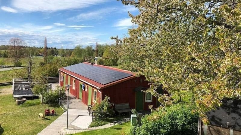
Accommodation near Kinnekulle

More pages about hiking

All about hiking
On this page you will find helpful tips and information for your hike.

Hiking trails in Sweden
On this page we present a selection of popular and high-quality trails across the country.
Signature trails
STF has selected some of the most spectacular routes in the country and brought them together under the name Signature Trails.