Ammarnäs – Hemavan
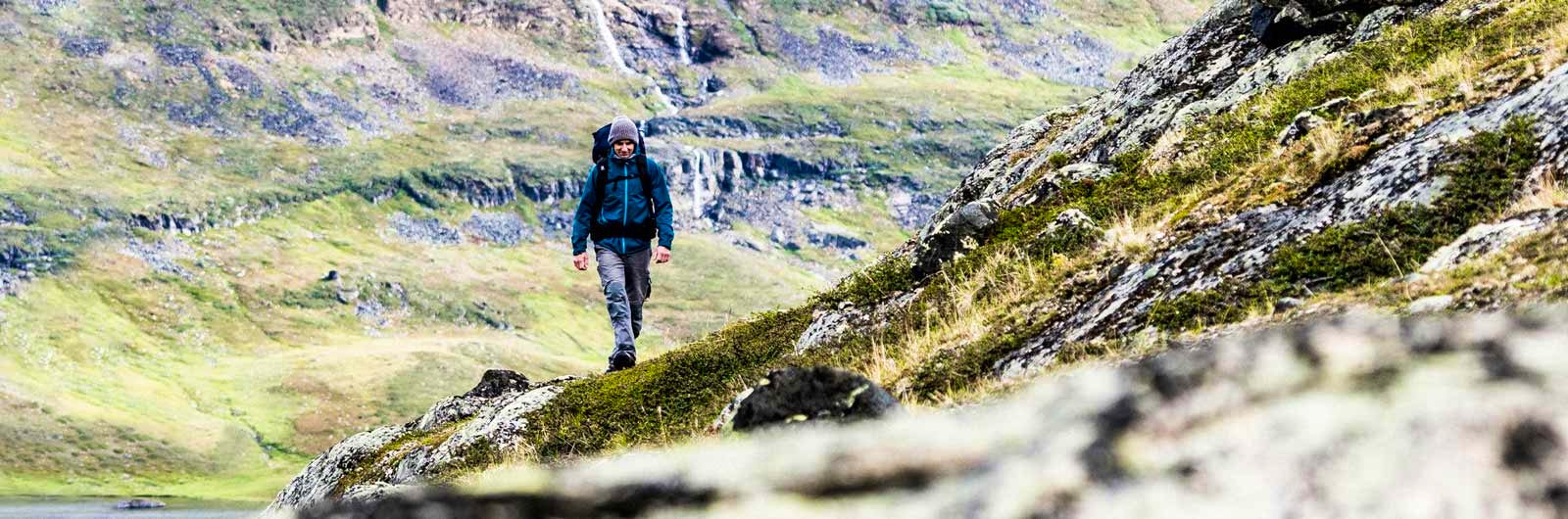
This is the southernmost section of the Kungsleden walking trail. The trail goes through Vindelfjällen Nature Reserve, which is one of the largest protected areas in Europe. It contains open heaths, lush mountain birch forests, wetlands and old-growth spruce forests festooned with lichen. This provides a diverse environment for a plethora of different flora and fauna.
The six stages each have their own distinctive feature. The views stretch for miles, punctuated by dramatic valleys and surrounded by steep slopes and high peaks. When you walk through the dramatic Syterpasset, you have peaks on both sides of you that are 1,700 metres above sea level. Make your way across Lake Tärnasjö over the long bridges that join up its small islets.
STF has five mountain cabins along this section of the Kungsleden trail.
Reindeer herding is practiced in this area, thank you for showing consideration!
Learn more about how to avoid disturbing the reindeer.
Map of Signature trail Ammarnäs – Hemavan
Navigate past map or other external content.This map is a planning tool and should not replace a physical map and compass. The service “Naturkartan” (opens in new tab) is operated by a company called “Outdoor map”. Please note that trail information is owned and updated by the respective trail administrator (e.g. municipality or county administrative board).
Things to See and Do Along the Trail
Visit the Naturum visitor center in Hemavan. Go fishing in Lake Tärnasjön or pick berries and mushrooms along the trail. The trail passes Vindelfjällen’s highest peak, the elegant Norra Sytertoppen, which rises 1,768 meters above sea level. Add an extra day to your hike and climb it!
Don’t miss
Birdlife in Vindelfjällen is incredibly rich – bring a lightweight bird guidebook unless you’re already an expert!
Getting to the Trail
The easiest way to get to Hemavan and Ammarnäs is by taking the train to Umeå, followed by a bus.
Short facts
Mountain map
Ammarnäs & Hemavan Calazo 1:100 000
Trail length / daily stages
78 km / 5 – 6 days
Links and recommended reading
The Vindelfjäll nature reserve (opens in new tab)
STF Locations
STF Aigert Mountain cabin
STF Ammarnäs Wärdshus
STF Serve Mountain cabin
STF Tärnasjö Mountain cabin
STF Syter Mountain cabin
STF Viterskalet Mountain cabin
STF Hemavan Mountain station
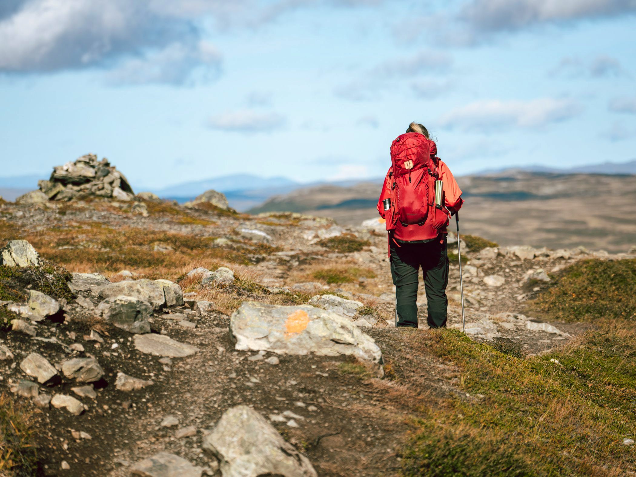
Stages: Ammarnäs–Hemavan
Below are the stages of the Kungsleden trail from Ammarnäs to Hemavan (Signature Trail Kungsleden Hemavan), including distances, accommodation, and other relevant hiking information.
Of course, it is also possible to hike in the opposite direction from how the stages are presented.
Tip! Spend your first night at STF Ammarnäs Wärdshus Hotel and Hostel.
Stage 1: Ammarnäs – Aigert
8 km, 2–3 hours hiking
Accommodation: STF Aigert Mountain Cabin
The first stage is short, only 8 kilometers. You start in the village of Ammarnäs and cross the bridge over the Vindel River before gradually ascending through the mountain birch forest. Halfway up the treeline, the summer trail heads westward, offering beautiful views over the Ammarnäs delta—considered one of the most scenic views along the entire Kungsleden. The trail then continues up onto the open mountainside until you reach STF Aigert Mountain Cabin, beautifully situated on a hill beside a small lake. Water is available along the trail. STF Aigert has a mountain shop with a Large assortment. Great tent spots are available across the lake from the cabin.
Stage 2: Aigert – Serve
19 km, 5–7 hours hiking
Accommodation: STF Serve Mountain Cabin
From STF Aigert, follow the stream upward toward Lill-Aigert. Enjoy breathtaking views over Lake Tjulträsket. The trail continues across open mountain terrain to the highest point of the stage at Juovvatjåhkka, where there’s a shelter. In good weather, you can take a detour to the summit of Stor-Aigert.
A steep descent leads to a mountain plateau, followed by a climb up to the Vuomatjåkka shelter. The trail ends with a long downhill stretch through birch forest. You’ll cross the Servvejuhkka stream with its majestic waterfall just before reaching STF Serve Mountain Cabin. Great tent spots are available west of the cabin and near the Servvejuhkka stream.
Stage 3: Serve – Tärnasjö
14 km, 4–5 hours hiking
Accommodation: STF Tärnasjö Mountain Cabin
The trail starts in sparse birch forest and climbs to open mountain terrain. Halfway, you reach the stage’s highest point at around 900 meters above sea level. After a descent, the trail flattens out, crossing bogs and curving through a valley with several small lakes. After passing a few lower passes, you descend again through birch forest. The trail ends with a long downhill stretch before arriving at STF Tärnasjö. Enjoy a swim or try fishing in Lake Tärnasjön.
Stage 4: Tärnasjö – Syter
14 km, 4–5 hours hiking
Accommodation: STF Syter Mountain Cabin
From Tärnasjö, follow the trail through birch forest along the eastern shore of the lake and over boardwalks across bogs. At the southern end of Lake Tärnasjön, you’ll encounter a unique archipelago formed by hundreds of small islets, crossed via seven bridges. This is also a haven for waterbirds.
After the final bridge, it’s 4 km to STF Syter. The trail climbs steeply through birch forest before leveling out again. You’ll have views of Norra Sytertoppen, which rises to 1,768 meters above sea level.
Stage 5: Syter – Viterskalet
12 km, 3–4 hours hiking
Accommodation: STF Viterskalet Mountain Cabin
Cross the Svärfarsbäcken stream via the bridge west of STF Syter. The trail begins with a steep climb over Sjul-Olsaxeln, a ridge off Norra Storfjället. Then descend to a trail junction and head toward Syterskalet, a lush valley nestled between steep cliff walls—one of the most dramatic landscapes in Vindelfjällen. Reindeer often graze here—please show respect.
At the western mouth of the valley, the trail follows the Syter Stream south to STF Viterskalet Mountain Cabin.
Stage 6: Viterskalet – Hemavan
10 km, 3–4 hours hiking
Accommodation: STF Hemavan Fjällcenter and STF Hemavan Mountain Station
From Viterskalet, head southwest between the West Syter Stream and the long ridge of South Sytertoppen. The trail starts out flat along a babbling stream—note that reindeer herding takes place here, so respect is required. After a few kilometers, the trail climbs slightly, contouring along the slope toward Hemavan’s ski area. Multiple route options are available here. Most hikers follow the longer route that ends at Naturum Hemavan, the southern gateway to the Kungsleden.
Discover more

Mountain guide
Find important information about mountain safety, waste management, and what it’s like to stay in a mountain cabin.

Mountain safety
Learn about avalanches, find out how to best prevent injuries, or read about how to safely ford rivers during your hike.

Mountain hiking
The Swedish mountain range stretches from Treriksröset in the north to Dalarna in the south. Here, breathtaking landscapes and hundreds of miles of marked hiking trails await.