
The Långfjället trail
A scenic circular tour over two or three days from STF Grövelsjöns Fjällstation, where you hike through both Swedish and Norwegian mountain landscapes.
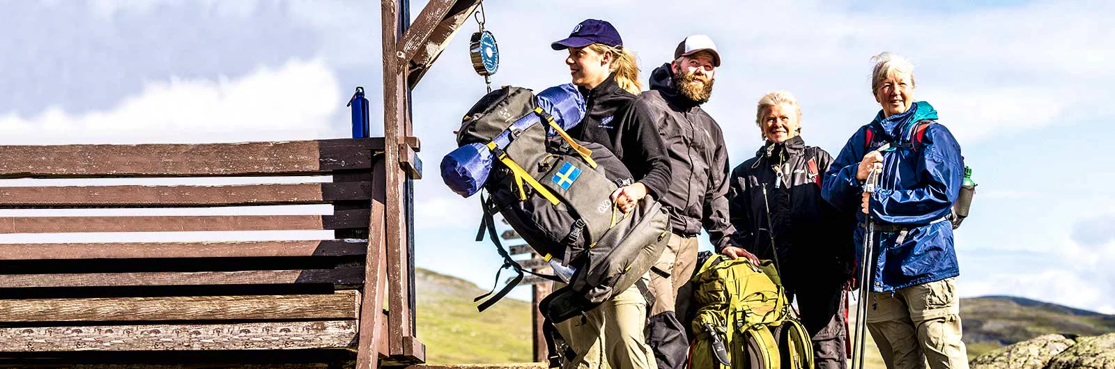
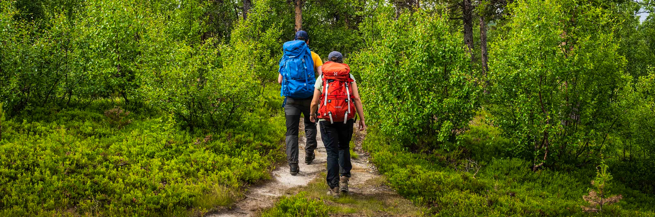
The tour starts and ends at STF Grövelsjöns Fjällstation, 816 meters above sea level, on the border between Sweden and Norway. The hike takes you through Femundsmarka national park, Grövelsjön nature reserve and Långfjällets nature reserve. Along the way, you move through coniferous forest, mountain birch forest and open alpine terrain, with views of vast mountain heaths and wetlands.
You pass areas such as Sylen and Hävlingen in the border mountains, and the tour is equally beautiful regardless of direction. The hike can be completed in two or three days. For a shorter option, you can take a boat across Grövelsjön and start at the northern end of the lake. If you choose to hike for three days, you instead begin the tour towards Salsfjället. For most of the hike, you travel above the tree line, where the landscape opens up and creates a sense of freedom and stillness.
Quick facts
Learn more about how to avoid disturbing the reindeer.

See and do along the trail
Hävlingen Lake is a particularly popular spot for anglers, widely known for its char and fly fishing. You can rent boats and canoes here if you wish.
Don’t miss
Take the opportunity to experience Sami culture during your visit. Renbiten is a Sami family business in Grövelsjön that combines reindeer husbandry with their own processing. Among other things, you can visit the tame reindeer.
Transport to the trail
Book your train journey via SJ (opens in new tab), and search for your trip all the way from your departure location to your final destination, in this case, STF Grövelsjön Mountain Station. This way, you’ll always find connections that suit multiple forms of transport: both train and bus. You’ll also have a travel guarantee, so that any delays won’t affect your ability to reach your destination. Trains connect to Mora, from where you can continue by bus.
Grövelsjön has daily bus connections to and from Mora (the journey takes about 3.5 hours). Check Dalatrafik’s website (opens in new tab) for the current timetable.
Stages of the Långfjället round-trip
Stage 1: STF Grövelsjön Fjällstation–Sylen
10 kilometers, 3–5 hours of hiking
Accommodation: Tent or cabin (contact details for private cabin rentals are provided through the mountain station)
You begin the hike by heading down towards Grövelsjön. From here, the trail branches off in a northwesterly direction and ascends to the pass between Sjöhöjden and Salsfjället. At 1,060 meters above sea level, the trail then slopes downward toward Sylen, located at the northern end of Grövelsjön.
Stage 2: Sylen–Hävlingen
10 kilometers, 3–5 hours of hiking
Accommodation: Hävlingestugorna (not STF) or tent at designated campsite
You can choose to take the boat across Grövelsjön and do a two-day tour. In that case, this will be your first day of hiking. The hike from Sylen starts uphill, but once you reach the alpine terrain, the landscape levels out. Along the way, you pass Grötvallsjön. Here, there is a Reindeer herding site, where herds are gathered by their different owners.
Around Hävlingen and Töfsingdalen, camping and making fires are only allowed at designated sites. If you want to stay at Hävlingestugorna, we recommend booking in advance via Länsstyrelsen Dalarnas Län.
Stage 3: Hävlingen–STF Grövelsjön Mountain Station
13 kilometers, 4–6 hours of hiking
Accommodation: STF Grövelsjön Mountain Station
From Lake Hävlingen, the trail continues across the vast mountain heaths of Långfjället. In your view are the wetlands of Långfjället and the highest peak in Svealand – Storvätteshågna, rising to a beautiful 1,183 meters above sea level. End your tour with a night at STF Grövelsjön Fjällstation or at the mountain station’s campsite.
Tip: From Hävlingen, you can make a detour to visit Töfsingdalens nationalpark, known for its beautiful old-growth forest and hard-to-access boulder terrain.
Remember that the boat across Grövelsjön must be pre-booked and has limited capacity and departures.
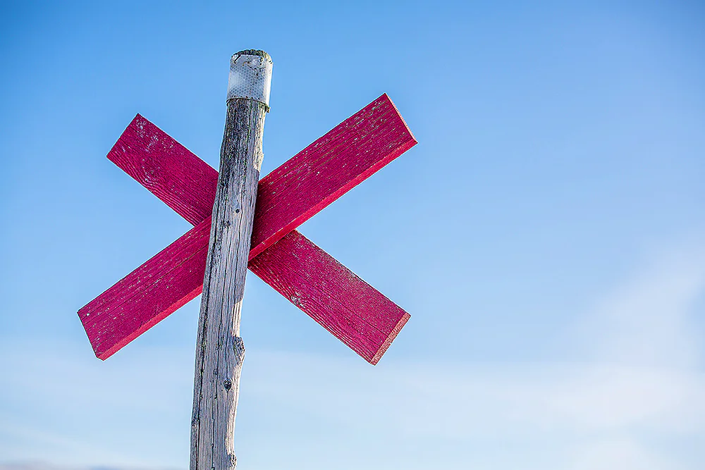
Trail markings
Check the trail markings before you set out. Winter trails are marked with crosses, while summer trails are marked with painted poles, stones, or trees. Winter trails can be difficult to follow in summer, so use a map and trail signs to navigate.
Read more about the trail systemMore pages about hiking

Hiking
On this page you will find helpful tips and information for your hike.
Packing lists
Packing lists for day hikes and multi-day hikes, in summer and winter – with or without a tent or children.
Equipment for hiking
On this page you will find tips on how to pack smart, what to keep in mind when camping, and how to cook outdoors.