Grövelsjön – Tänndalen
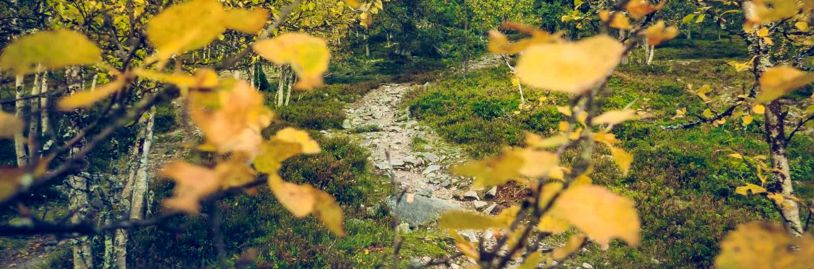
The hike from Grövelsjön to Tänndalen passes through the Långfjället and Rogen nature reserves. You will hike past Töfsingdalen National Park, where a dramatic and varied landscape awaits. The mountains between the Rogen area and Tänndalen are generally flat and barren, but sparse coniferous forests characterize parts of the route. Some sections of the trail are very rocky and may feel demanding to hike.
Quick facts
Discover Grövelsjön – Tänndalen
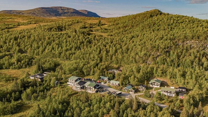
Grövelsjön Mountain Station is located 816 meters above sea level, at the northernmost part of the Dala Mountains. Here, on the border with Norway, lies a perfect starting point for those who want to hike in pristine mountain environments. Just outside the door, there are miles of marked trails.
The journey takes you from Grövelsjön, through the Långfjället and Rogen nature reserves, to Tänndalen. It’s a hike that takes place on the open mountain plateau, close to the border between Sweden and Norway. Parts of the adventure lead through sparse coniferous forests. For long stretches, you hike alongside lakes in a wonderfully rolling landscape. The route includes both uphill and downhill sections.
On the first day, you pass Töfsingdalen National Park, which may be Sweden’s least visited national park due to its difficult terrain. However, for those who take on the effort of making a detour, the reward is dramatic and beautiful nature.
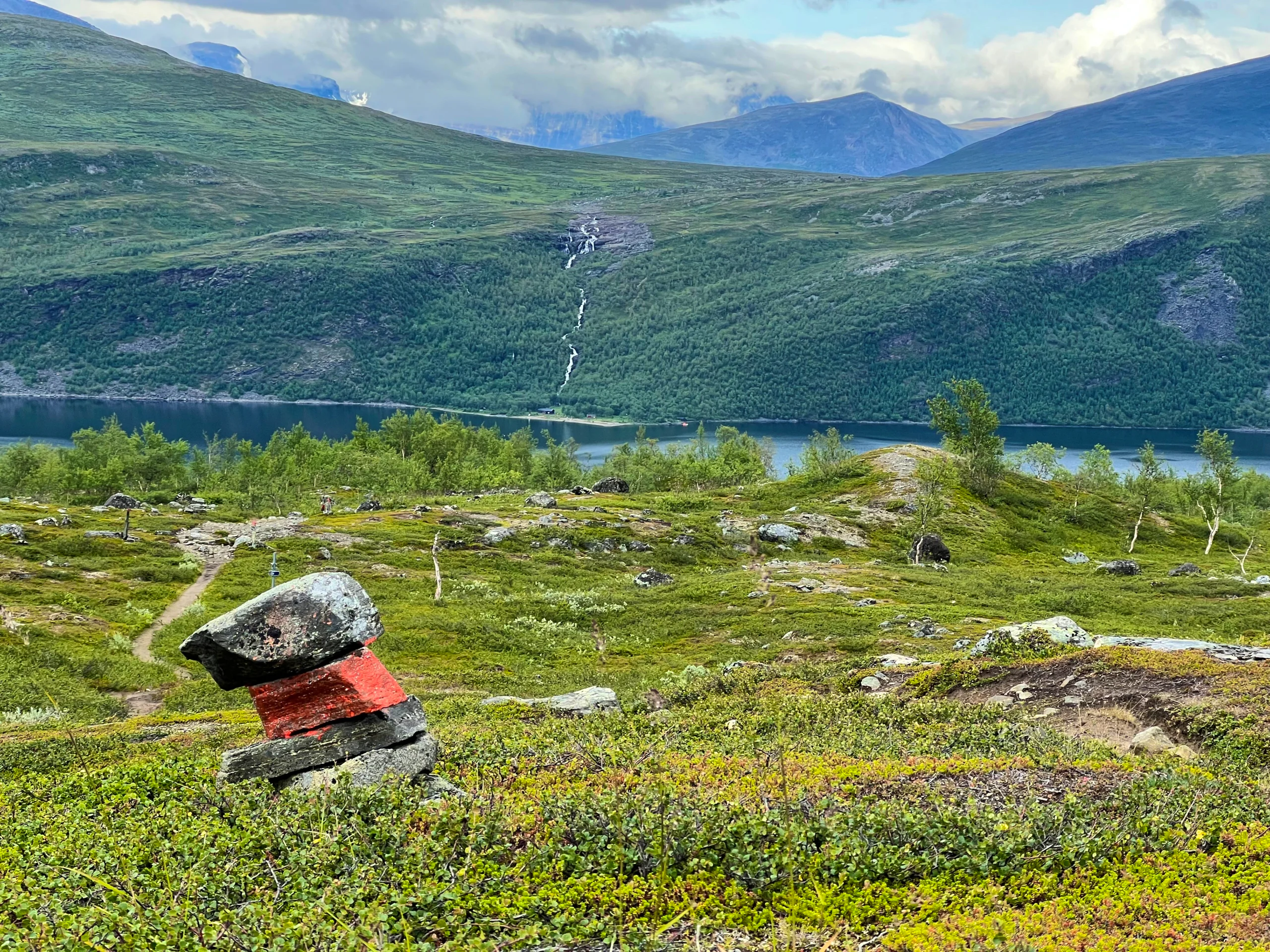
Rogen Nature Reserve offers a lake-rich landscape with winding ridges covered with ancient pines. The shapes of the moraine ridges were created by past ice sheets. This unique landscape type has been given its own name: Rogen Moraine.
Note: Parts of this hike are challenging as the terrain is sometimes rocky. Plan for a few extra hours compared to a hike on easier terrain. Trekking poles might be a good idea for added balance when stepping over larger rocks.
Learn more about how to avoid disturbing the reindeer.

See and do along the trail
Lake Hävlingen is particularly popular among anglers and is well-known for its char and fly fishing. Boats and canoes are available for rent if you’re interested.
Don’t miss
There is an alternative 16,5-kilometer route between Rogen and Skedbro, via Käringsjön. The trail from Rogen to Käringsjön passes through sparse coniferous trees near the famous lake system, where many choose to paddle and fish. Canoe rentals and accommodations are available at Käringsjön, and it is advisable to book in advance if you plan to stay. There is a road to Tännäs from here, but you can also follow a hiking trail. The trail toward Skedbrostugan from Käringsjön passes through sparse coniferous forest.
Transport to and from the trail
Getting to Grövelsjön
Travel by train to Mora and then continue by bus to Grövelsjön Fjällstation. Grövelsjön has daily bus connections with Mora, see the Dalatrafik website (opens in new tab).
Tip! Search for your entire journey from your departure location to your final destination, in this case STF Grövelsjön Fjällstation, at sj.se (opens in new tab). This will always show departures that match different modes of transport, including both trains and buses. You will also have a travel guarantee, ensuring that any delays will not affect your ability to reach your destination.
From Tänndalen
If you are travelling north, you can take a bus from Tänndalen with Länstrafiken (opens in new tab) to Östersund and then continue by train.
If you are travelling south, you can take a bus from Tänndalen with Länstrafiken (opens in new tab) to Ljusdal. In Ljusdal, change to a train towards destinations such as Stockholm.
You can also travel between Tänndalen and Stockholm with Härjedalingen buses (opens in new tab). See timetables and pricing information on their website.
Stages of Grövelsjön – Tänndalen
Stage 1: Grövelsjön Mountain Station – Storrödtjärn
1 kilometers, 6–8 hours of hiking
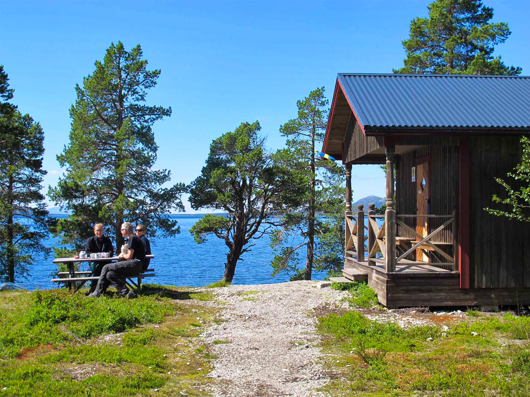
Accommodation: STF Storrödtjärn Mountain Cabin
From Grövelsjön Mountain Station, you head northeast over Långfjället. On Långfjället, you pass an information board about Linnaeus’ encounter with falcon catchers in 1734. Here you can find remnants of an old camp where the valuable birds of prey were once captured. The highest point of this stage is reached after five kilometers, south of Jakobshöjden. From here, you get magnificent views of Storvätteshogna – Svealands’ highest mountain – rising 1,204 meters above sea level. The trail then gently slopes down toward Lake Hävlingen. After about 8 kilometers, you reach Särsjöbäcken. A few hundred meters to the east lies Särsjöbäcken rest shelter (on the winter trail). From here, you have views over Töfsingdalen National Park and down toward Hävlingen with Slagufjället in the background. Cabins for overnight stays are available at Hävlingen, which require advance booking through the County Administrative Board of Dalarna.
The trail toward Storrödtjärn continues along a moraine ridge between the char-rich lakes of Hävlingen and Särsjön. After a forested section and a kilometer of open plateau, the trail ascends again toward the Slagusjön shelter. The final stretch to Storrödtjärn in the Långfjället Nature Reserve is rocky in parts.
Stage 2: Storrödtjärn – Rogen
17 kilometers, 5–6 hours of hiking
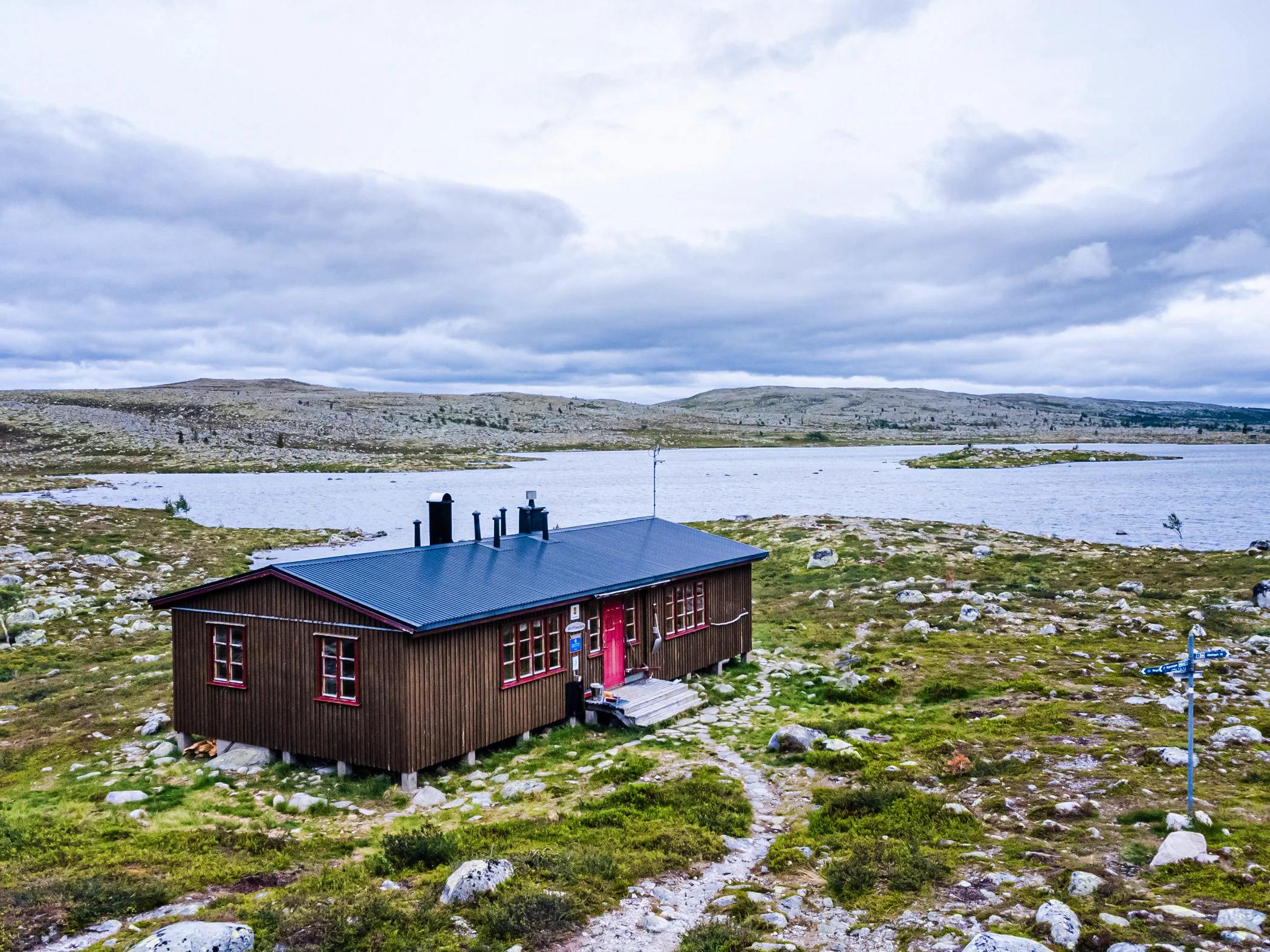
Accommodation: STF Rogen Mountain Cabin
You leave the open moraine landscape at Storrödtjärn and begin the descent toward the southeastern tip of Lake Rogen, where a rest shelter awaits. The trail soon transitions into varied blocky terrain with mountain birch and pine forests. You pass Lake Fisklöstjärnen on the western side. The trail then becomes easier, with a slight ascent up the southern side of Tandsjövålen. Here, you reach the highest point of the stage, offering magnificent views over Lake Rogen and the Norwegian mountains to the west. After descending from Tandsjövålen, the trail passes through sparse pine forests to the bridge over Tandån. The trails then diverge, and north of Tandån, you turn off the northbound trail and head out onto a peninsula in the lake to reach Rogen.
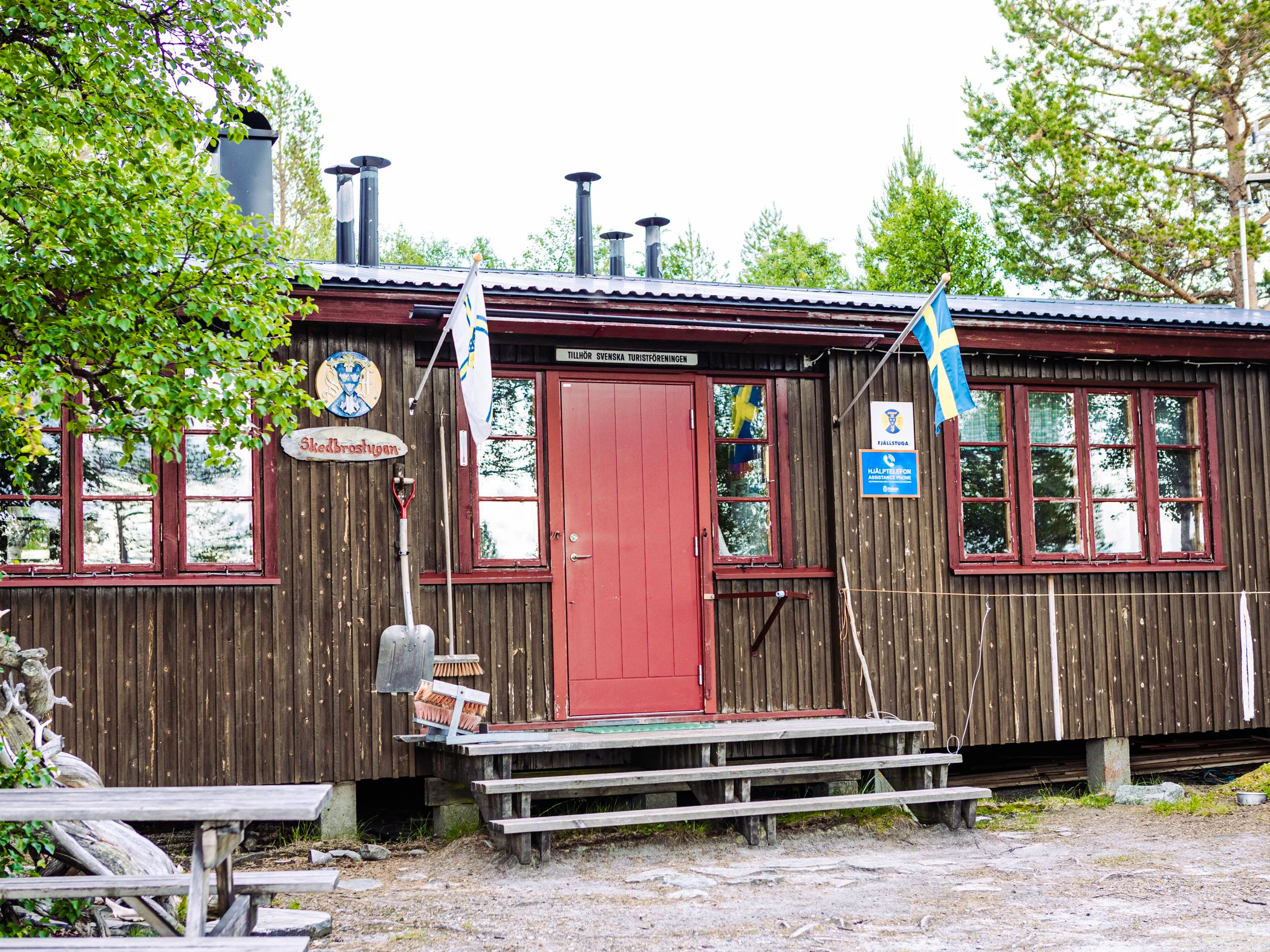
Stage 3: Rogen – Skedbro
17 kilometers, 5–6 hours of hiking
Accommodation: STF Skedbro Mountain Cabin
Where the trails divide just north of Rogen, you continue northwest. You hike through pine heaths and ridges until reaching the bridge over the outlet of Öster-Rödsjön. To your left is Lake Rogen, and to the right, a string of small lakes. You then hike on the southern side of the 1,000-meter peak Bustvålen. Soon, the trail splits southward toward Svukuriset on the Norwegian side, and northward toward Skedbro. The final stretch to Skedbro passes over bogs with boardwalks and rocky passages, but also easy-to-walk heaths.
Stage 4: Skedbro – Tänndalen
21 kilometers, 6–8 hours of hiking
Accommodation: STF Skarvruet Mountain Hotel
The stretch from Skedbro to Tänndalen is long and rocky in parts, with varied nature. North of Skedbro, you encounter old, rugged mountain birch forests on your way up toward Broktjärn rest cabin. Here, you leave the Rogen moraine and enter open mountainsides on the western slope of Rödfjället. The majestic peak of Rödfjället reaches 1,243 meters above sea level.
Just before Rödfjälltjärn, the trail splits, and if you’re heading west, follow the trail toward Tänndalen. You will cross the Svanån River via a bridge to reach Tänndalsvallen. The final stretch toward Tänndalen is along a road. If you plan to stay overnight at STF Skarvruet Mountain Hotel, there are about 8 kilometers left, mostly on a road. You can either walk or contact the accommodation for the best transportation option.
Trail markings
Check the trail markings before you set out. Winter trails are marked with crosses, while summer trails are marked with painted poles, stones, or trees. Winter trails can be difficult to follow in summer, so use a map and trail signs to navigate.
Read more about the trail systemAccommodations in the area
STF Storrödtjärn Mountain cabin

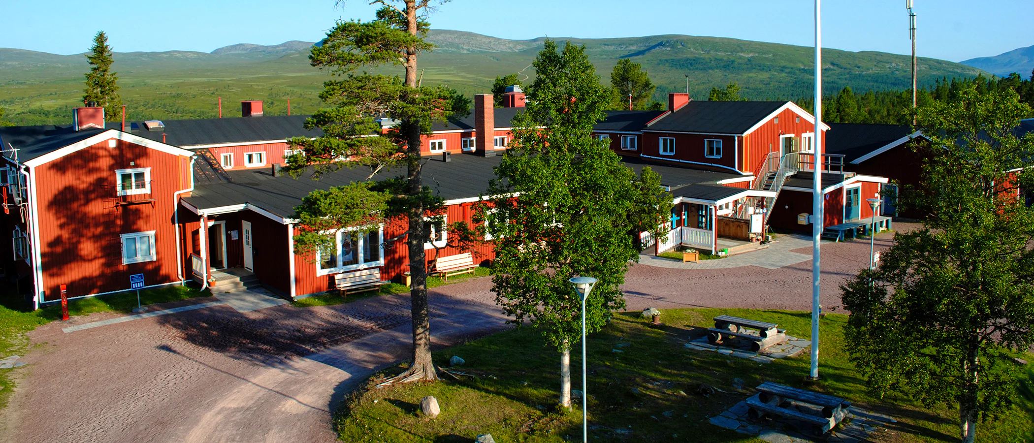
STF Skarvruets Mountain station Tänndalen
STF Grövelsjön Mountain station
Visitor calendar
Do you prefer a quieter experience in the mountains? Our visitor calendar gives you an overview of typical occupancy levels in this mountain area, helping you plan your trip during less busy periods. During quieter times, we also often offer better prices. Please note that the visitor calendar is only an indication and does not account for variations due to events or holidays.
Week |
24 |
25 |
26 |
27 |
28 |
29 |
30 |
31 |
32 |
33 |
34 |
35 |
36 |
37 |
38 |
39 |
|---|---|---|---|---|---|---|---|---|---|---|---|---|---|---|---|---|
Hemavan |
Few visitors |
Few visitors |
Few visitors |
Few visitors |
More visitors |
More visitors |
More visitors |
More visitors |
More visitors |
More visitors |
Few visitors |
Few visitors |
Few visitors |
Few visitors |
Few visitors |
Few visitors |
Viterskalet |
Closed |
Few visitors |
Few visitors |
Few visitors |
Most visitors |
Most visitors |
Most visitors |
Most visitors |
More visitors |
More visitors |
Few visitors |
Few visitors |
Few visitors |
Few visitors |
Few visitors |
Closed |
Aigert |
Closed |
Few visitors |
Few visitors |
Few visitors |
Most visitors |
Most visitors |
Most visitors |
Most visitors |
More visitors |
More visitors |
Few visitors |
Few visitors |
Few visitors |
Few visitors |
Few visitors |
Closed |
Syter |
Closed |
Few visitors |
Few visitors |
Few visitors |
Most visitors |
Most visitors |
Most visitors |
Most visitors |
More visitors |
More visitors |
Few visitors |
Few visitors |
Few visitors |
Few visitors |
Few visitors |
Closed |
Tärnasjö |
Closed |
Few visitors |
Few visitors |
Few visitors |
Most visitors |
Most visitors |
Most visitors |
Most visitors |
More visitors |
More visitors |
Few visitors |
Few visitors |
Few visitors |
Few visitors |
Few visitors |
Closed |
Serve |
Closed |
Few visitors |
Few visitors |
Few visitors |
Most visitors |
Most visitors |
Most visitors |
Most visitors |
More visitors |
More visitors |
Few visitors |
Few visitors |
Few visitors |
Few visitors |
Few visitors |
Closed |
More pages about hiking

Selected hiking trails
On this page we present a selection of popular and high-quality trails across the country.
STF’s Signature Trails
STF has selected some of the most spectacular routes in the country and brought them together under the name Signature Trails.

Hiking
On this page you will find helpful tips and information for your hike.