The Vålådalen trail
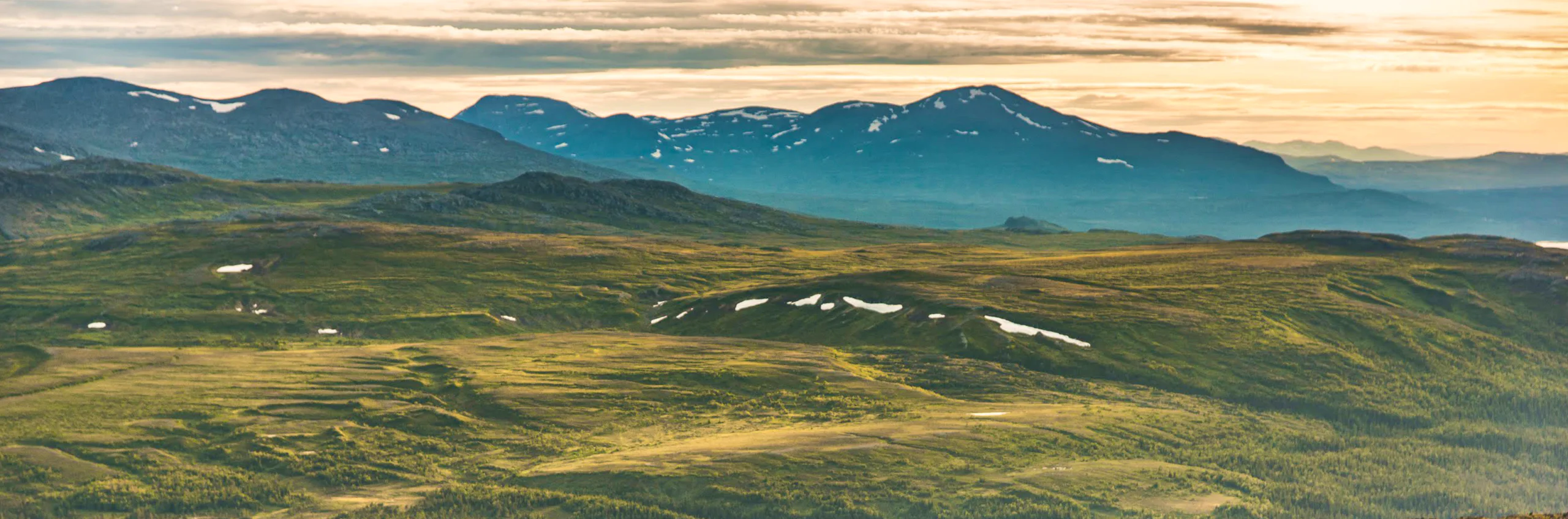
Vålådalen is the starting point for the Vålådalsfyrkanten trail – a classic mountain hike between mountain cabins. The route passes through the Vålådalen Nature Reserve, where you hike through the beautiful borderland between open mountain terrain and peaceful mountain forest.
Quick facts
Discover the Vålådalen trail
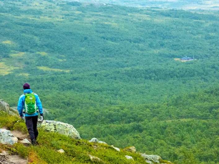
The nature of the Vålådalen Nature Reserve is shaped by its ancient and species-rich old-growth forest. Here, the hike begins through a varied mountain landscape where the trail winds through dense coniferous forest and bright mountain birch woodland, past tarns, bubbling streams, wetlands and flowering mountain meadows. At times, the trail climbs towards the tree line, in the beautiful meeting between open mountain terrain and sparse mountain forest.
The landscape bears clear traces of the inland ice sheet, which has shaped the surroundings with ridges, plateaus and dramatic rift valleys. In many places, the scenery feels almost fairytale-like.
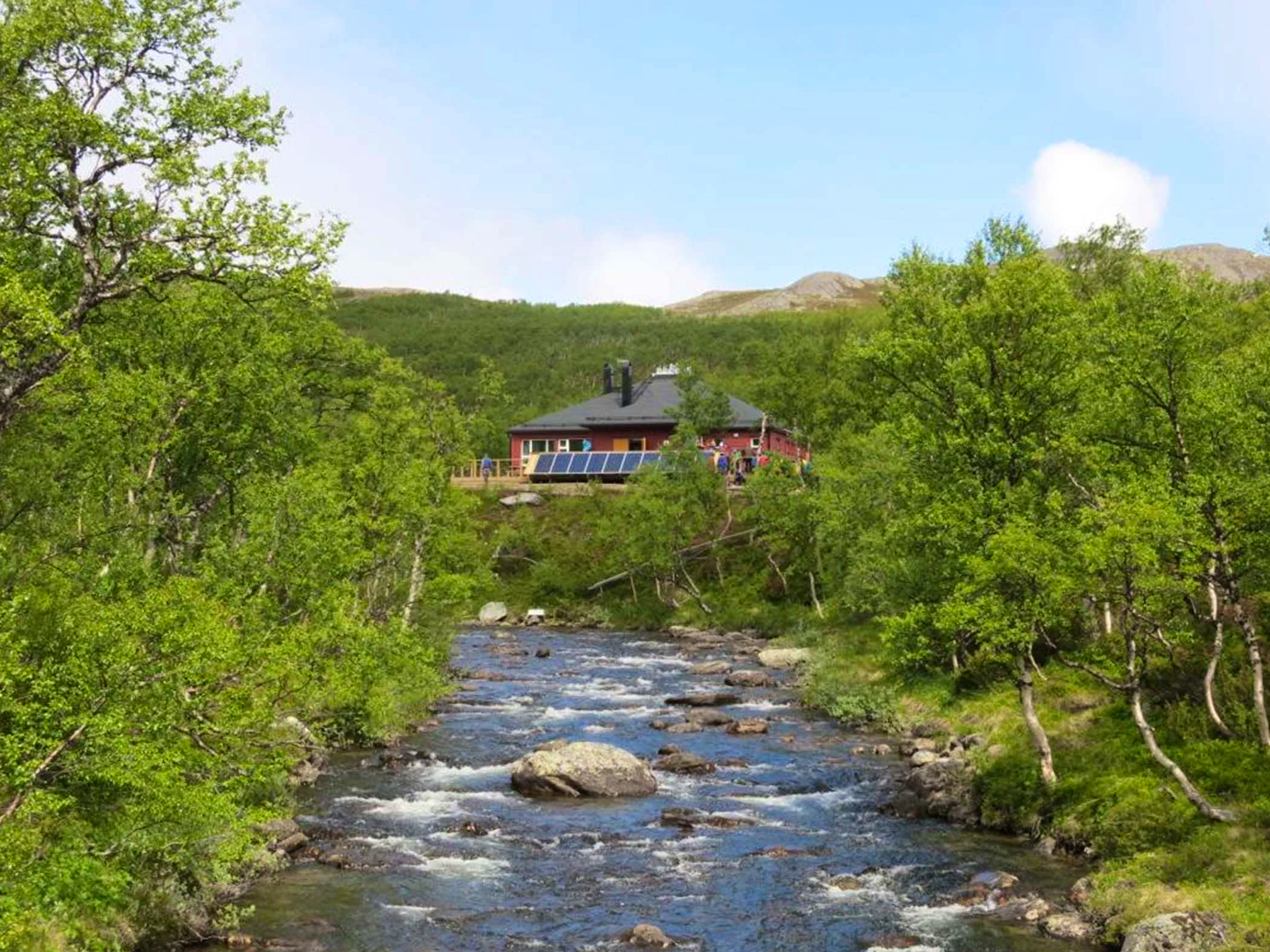
There is a shop at all Mountain Cabins along the trail, and both STF Lunndörren and STF Stensdalen also have a sauna. The Vålådalen Square trail can be hiked in both directions, with daily stages ranging from 12 to 16 kilometres.
Learn more about how to avoid disturbing the reindeer.
See and do along the trail
An alternative route to STF Lunndörren is to take the trail towards Pyramiderna via Grönvallen. This is a well-preserved Sami settlement located in the middle of the birch forest. The famous Pyramiderna formations, and the surrounding landscape, were once shaped by ancient ice ages. The trail towards Pyramiderna leads all the way to the cabins at Lunndörren.
If you want to extend your hike, you can make a detour from Lunndörren to STF Anaris Mountain Cabin. The 18-kilometre route takes you through the spectacular Hällådalen valley, surrounded by steep mountain walls, and onwards past the crater-filled plateau landscape of Issjödalen and Pyramiderna. It is one of the area’s most dramatic day hikes.
You can also choose to start or end your hike in Vallbo, which has trail connections to both Vålådalen and Lunndörren. This gives you the flexibility to adapt the route according to your time and ambitions.
Fish-rich tarns can be found in the area around STF Lunndörren and STF Vålåstugorna.
How to get to the trail
Book your train journey via SJ (opens in new tab). The train takes you to Undersåker. From there, you can take a bus with Länstrafiken (opens in new tab) for approximately 45 minutes, or arrange a taxi transfer.
Search for your entire journey from your departure point to your final destination when booking your train ticket – in this case, Vålådalen. This way, you will always be shown departures that match different modes of transport, including both train and bus. You will also receive a travel guarantee, ensuring that any delays do not affect your ability to reach your destination.
Stages of the Vålådalen trail
Stage 1: Vålådalen Mountain Station – Lunndörren
12 kilometers, 4-5 hours of hiking
Accommodation: STF Lunndörren Mountain Cabin
This trail mostly runs through mountain coniferous forest. Early on, you cross the Vålån River, following it briefly before the trail splits after about 6 kilometers. If you prefer the shortest route, choose the trail toward Lunndörren cabins. The cabins are located right by Lake Lunndörrstjärnen, on the border between forest and open mountain terrain. East of the cabin stands the Stor-Gröngumpen mountain and southeast lies Mount Santa. Further into the massif, you’ll find the renowned Lunndörr Pass (Lunndörrspasset).
Stage 2: Lunndörren – Vålåstugan
15 kilometers, 5-6 hours of hiking
Accommodation: STF Vålåstugan Mountain Cabin
The trail passes through easy hiking terrain close to the tree line. Here, you have ancient forests on the northern side of the trail and the valleys of Gråsjöfjället on your southern side. The journey begins across wetlands on the way towards Finnångeltjärnarna and the Lunndörrsån stream. After a steady climb, you reach the slopes of Trondfjället and pass the stream Tronnan, which later flows into the Vålån river.
The trail continues through the Vålån valley and climbs during the final stretch before you reach your destination. During the last 2 kilometres before Vålåstugan, the path becomes rockier. At high water levels, you may need to ford streams at certain points along the stage.
Stage 3: Vålåstugan – Stensdalen
14 kilometers, 5-6 hours of hiking
Accommodation: STF Stensdalen Mountain Cabin
The landscape shifts from flat open mountain terrain and high-altitude wetlands to the birch forests below the beautiful Lill-Stensdalsfjället. The first 10 kilometres follow terrain just above the tree line. You then pass around Vålåvalen and turn northwards. A nearly flat section along Kroktjärnarna and surrounding wetlands follows.
After Smällhögsskaftet, the terrain becomes more varied. The Tvärån stream in Låtedalen can be difficult to ford during high water levels, so extra caution is required. Further upstream, the water flow decreases once you have passed the connecting streams. Read more about safe river crossing here. Along this stretch, you can also visit the old mine shafts on the slopes of Gruvsmällen.
The Stensån stream, near Stensdalen Mountain Cabin, can also be difficult to ford during high water. If you are unable to cross, leave the nearest shoreline and head west towards a bridge located right next to Stensdalen Mountain Cabin.
Stage 4: Stensdalen – Vålådalen Mountain Station
13 kilometers, 4-5 hours of hiking
Accommodation: STF Vålådalen Mountain Station
The trail from STF Stensdalen Mountain Cabin initially passes through mountain birch forest with occasional open areas and wetland stretches. About 2 kilometers from Stensdalen cabins, you reach a bridge over the Tvärån. At the highest point of the section, 830 meters above sea level, you can enjoy a view of the forested Vålådalen basin and the surrounding mountains to the south.
Here, the trail divides, and you should choose the path toward Stensån and Vålån. Taking a dip in the Stensån along the way is a perfect way to refresh yourself during the hike.
Accommodation along the trail

STF Lunndörren Mountain cabin

STF Stensdalen Mountain cabin

STF Vålådalen Mountain station
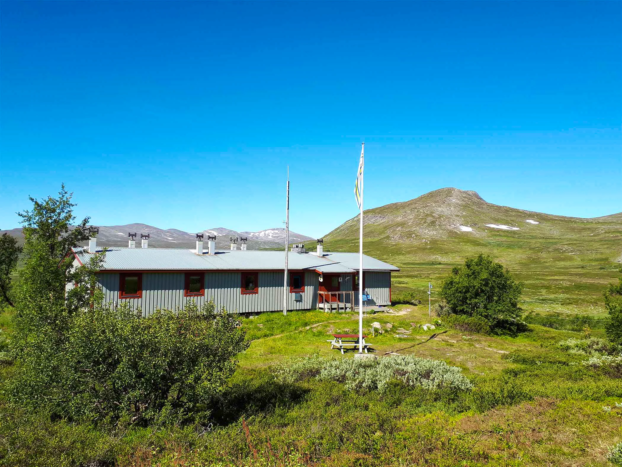
STF Vålåstugan Mountain cabin

Trail markings
Check the trail markings before you set out. Winter trails are marked with crosses, while summer trails are marked with painted poles, stones, or trees. Winter trails can be difficult to follow in summer, so use a map and trail signs to navigate.
Read more about the trail systemMore pages about the mountains

Mountain guide
Find important information about mountain safety, waste management, and what it’s like to stay in a mountain cabin.

Mountain safety
Learn how to prevent injuries, use a map and compass, and safely cross streams during your hike.

Mountain hiking
Discover hiking in the Swedish mountains, from day hikes to multi-day adventures.