The Padjelanta trail
The 160-kilometre-long Padjelanta trail runs through Padjelanta National Park. Along the way, you’ll pass blooming mountain heaths, wild green-tinted rivers, vast lakes, rounded mountains and spruce forests. The trail stretches between Kvikkjokk in the south and Ritsem in the north. It’s equally possible to hike it in either direction.
Quick facts
Map of Padjelantaleden
Navigate past map or other external content.This map is a planning tool and should not replace a physical map and compass. The service “Naturkartan” (opens in new tab) is operated by a company called “Outdoor map”. Please note that trail information is owned and updated by the respective trail administrator (e.g. municipality or county administrative board).
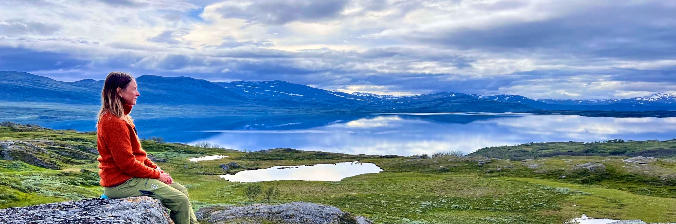
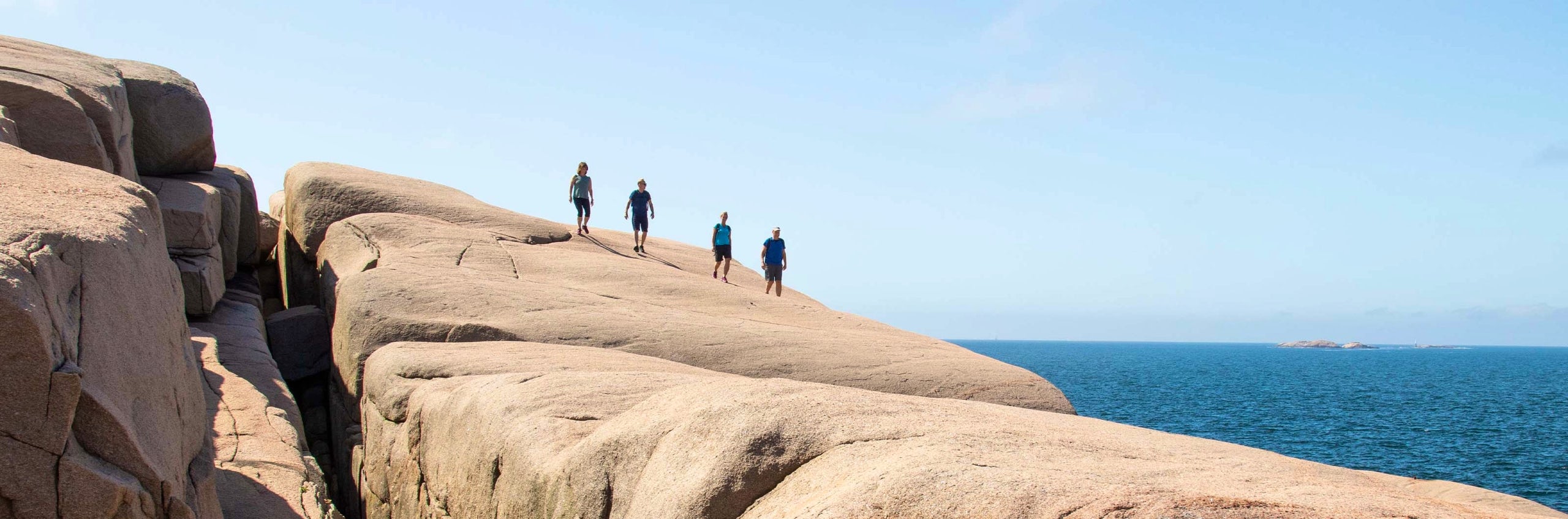
Discover the Padjelanta trail
Padjelanta (Badjelánnda) is Sweden’s largest national park and part of the Laponia World Heritage Site. The Padjelanta trail, which crosses the national park, is an easy hike with mountain cabins spaced at suitable intervals. The terrain along the trail is open and rolling, in contrast to the towering peaks of nearby Sarek. Most of the route runs above the treeline. Thanks to the area’s limestone-rich bedrock, the flora is particularly rich, offering blooming mountain heaths and alpine meadows. Many consider the stretch between Arasluokta and Stáloluokta to be the most beautiful. The southern section, following the Tarradalen valley down to Kvikkjokk, runs through birch forest – a place where you might spot signs of bear.
STF manages the cabins at the northernmost and southernmost ends of the Padjelanta trail. Within the national park, the cabins are operated by Badjelánnda Laponia Turism (BLT) (opens in new tab).
You can start the hike from either Ritsem in the north or Kvikkjokk in the south. Below, the trail is described from north to south.
Leashed dogs are allowed in the national park from 1 January to 30 April. At all other times, dogs are not permitted in the park – not even on a leash.
Learn more about how to avoid disturbing the reindeer.
See and do along the trail
Climb Måskásgájsse, located northeast of STF Såmmarlappa Mountain Cabin. From the summit, at 1,724 metres above sea level, you’ll be rewarded with sweeping views of the Tarradalen valley below and the high peaks of Sarek to the north.
Alternative route
You can choose to get off the boat in Vaisaluokta and start your hike there, walking 18 km to STF Kutjaure. Near the cabin, you’ll find an exciting stream with waterfalls and caves. From Kutjaure, the trail continues directly to the BLTs Låddejåkk cabin.
Getting to the trail
The easiest way to reach Ritsem is by bus from Gällivare, which has daily train connections to Stockholm and other cities. For a smooth journey, we recommend booking train and bus on a single Resplus ticket. If you only need the bus ticket, you can book it at www.roadtoritsem.com (opens in new tab).
M/S Storlule (opens in new tab) operates regular boat service throughout the summer season between Ritsem and Vaisaluokta/Änonjalme.
The easiest way to reach Kvikkjokk is by bus from Jokkmokk. The nearest train station is in Murjek, and there are often direct connections from Murjek to Kvikkjokk. For more information about getting to Kvikkjokk, visit STF Kvikkjokk Mountain Station.
Stages of the Padjelanta trail
Stage 1: Ritsem/Akka cabin – Gisuris cabin
2 + 14 kilometres, 3-5 hours of hiking
Accommodation: STF Akka Mountain Cabin, BLTs Gisuris cabin
M/S Storlule operates regular boat service throughout the summer season between Ritsem and Vaisaluokta/Änonjálmme. Current timetable for boat traffic on Lake Akkajaure in Swedish (opens in new tab). You can either arrive in the morning and start hiking right away, or spend the night at the Akka cabin, located 2 km from the boat landing in Änonjálmme. Then continue south with the Akka massif as your backdrop, and after 14 kilometres you’ll reach the BLT Gisuris cabin. This is where the three great national parks, Sarek, Stora Sjöfallet and Padjelanta meet.
Stage 2: Kisuris cabin – Låddejåkk cabin
23 kilometres, 7–9 hours of hiking
Accommodation: BLTs Låddejåkk cabin
This is the longest stage of the Padjelanta trail. The hike continues southwest on relatively easy terrain. Along the way, you’ll cross three suspension bridges, the last one stretches 100 metres. After the third bridge, the trail begins to climb. Once you’ve gained some elevation, you’ll be rewarded with beautiful views over Lake Vásstenjávrre. The final stretch down to the cabins is steep.
Tip! If you’d like to shorten this long stage slightly, you can start your hike in Vaisaluokta to the north and walk to STF Kutjaure on the first day. From there, it’s 19 km to the Låddejåkk cabin.
Stage 3: Låddejåkk cabin – Árasluokta cabins
13 kilometres, 3–4 hours of hiking
Accommodation: BLTs Árasluokta cabins
Between Låddejåhkå and Árasluokta, the trail runs through easy terrain with a few ascents and beautiful views. From the bridge over the Låddejåhkå stream, where the water has carved a deep ravine, the path climbs up to the heights above Lake Vásstenjávrre, offering wide views over the lake and Mount Allak. A descent then follows across open mountain heaths, before the trail continues on boardwalks for the final stretch to the Árasluokta cabins and the Sámi settlement.
Stage 4: Árasluokta cabins – Stáloluokta cabin
10 kilometres, 3–4 hours of hiking
Accommodation: BLTs Stáloluokta cabin
The stretch between Árasluokta and the next stage destination is considered by many to be the most beautiful part of the entire Padjelanta trail. Flower-filled mountain heaths line the path, and it’s hard to take your eyes off the Sulitelma massif.
Along this stage, the Padjelanta trail turns southeast, while the Nordkalotten trail continues south. The entire route runs across scenic, easy-to-hike mountain heath.
Stage 5: Stáloluokta cabin – Duottar cabin
18 kilometres, 5–7 hours of hiking
Accommodation: BLTs Duottar cabin
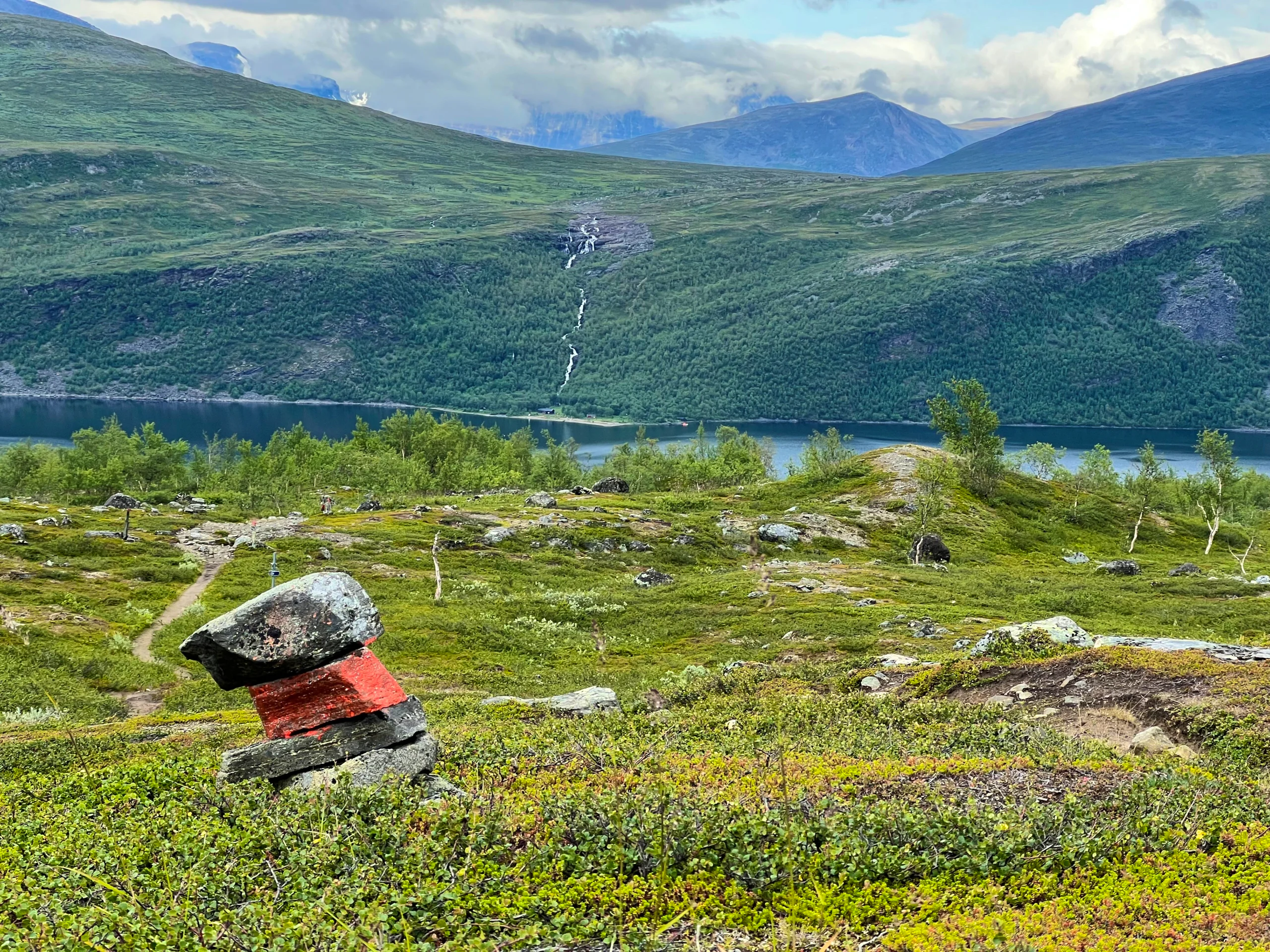
The hike begins across blooming alpine meadows and gravel ridges, with wide views over Lake Virihávrre. The trail continues past Gieddávrre, where dense willow thickets line the shore and the Sámi reindeer calf-marking enclosure is located. At Bållávrjåhkå, you’ll cross ridges and riverbanks before the terrain becomes rockier, dotted with small lakes and tundra polygons formed by permafrost. The final stretch takes you through a barren mountain landscape before reaching the Duottar cabins.
Stage 6: Duottar cabin – Darreluoppal cabin
11 kilometres, 3–4 hours of hiking
Accommodation: BLTs Darreluoppal cabin
From Duottar to Tarraluoppal, the trail passes through rocky terrain with small lakes and calcium-rich ground that supports a rich flora, including alpine avens and purple saxifrage. At the highest point of the Padjelanta trail, 960 metres above sea level, snow often lingers well into the summer. The landscape then opens up into heaths and wetlands filled with cotton grass and sedges, important grazing grounds for reindeer. Birdlife is abundant, and the hike ends at the Tarraluoppal cabins, located in Badjelánnda’s vast mountain heaths. The cabin sits just inside the border of Sarek National Park.
Stage 7: Darreluoppal cabin – Såmmarlappa cabin
15 kilometres, 4–6 hours of hiking
Accommodation: STF Såmmarlappa Mountain Cabin
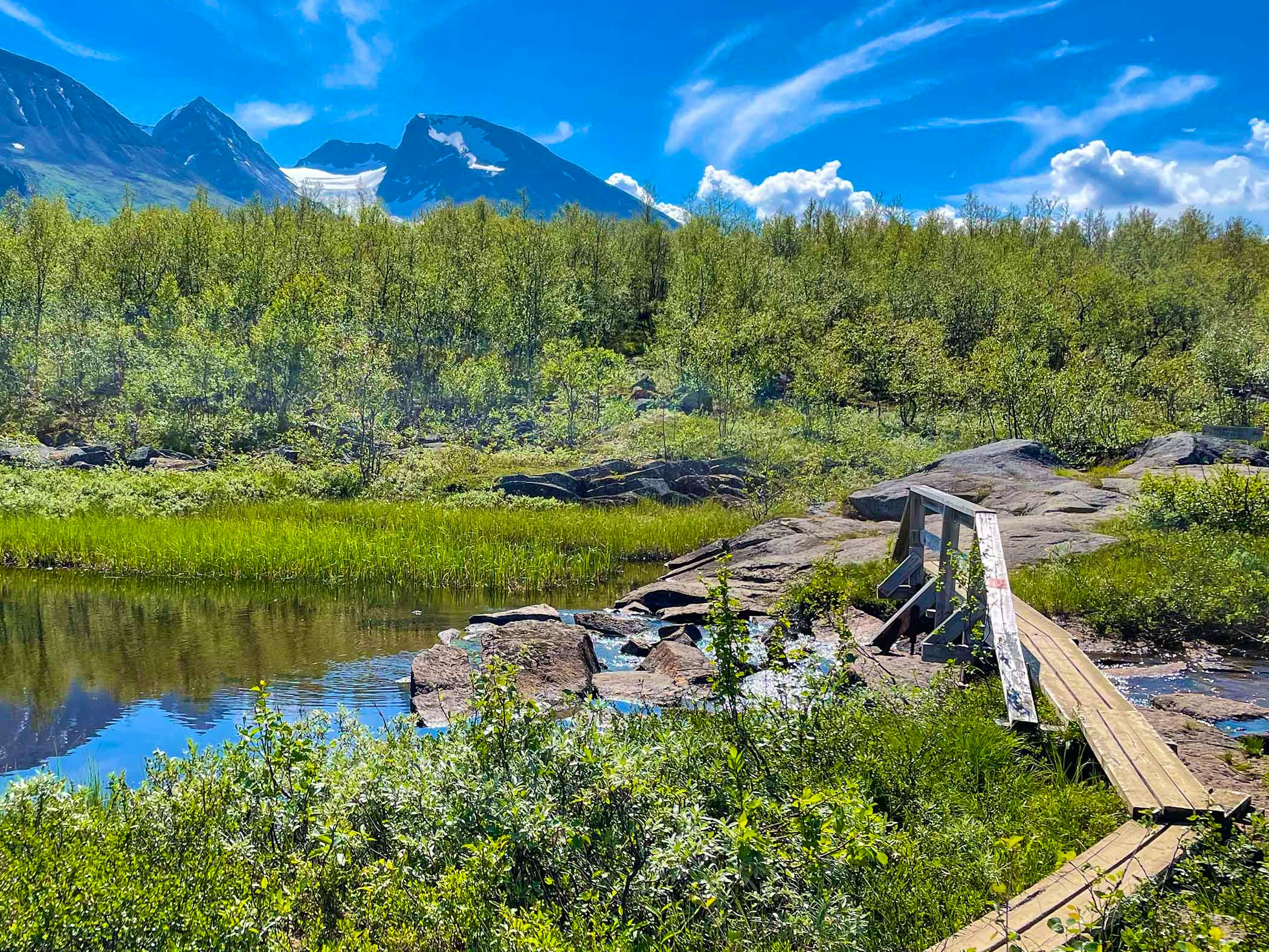
This entire stage follows the Tarradalen valley and begins with boardwalks across wetlands near Lake Darreluoppal. Shortly after setting off, you leave Sarek National Park and soon re-enter Padjelanta. The trail then traverses open mountain heath before reaching lush birch forest after about five kilometres. From there, the hike continues to the Såmmarlappa cabins. The terrain is gently rolling with wet sections and boardwalks, and in early summer the wildflower display is vibrant. After eleven kilometres, you leave Padjelanta once more and soon cross the Slihtajåhkå stream via a suspension bridge. The final stretch toward the cabins leads through birch forest and marshland, with several good tent spots by the streams along the way.
Stage 8: Såmmarlappa cabin – Tarrekaise cabin
13 kilometres, 4–6 hours of hiking
Accommodation: STF Tarrekaise Mountain Cabin
Your hike continues through the Tarradalen valley all day, with some sections of rocky terrain. STF Tarrekaise Mountain Cabin is nestled in lush greenery on the northern shore of Lake Tarraure.
Stage 9: Tarrekaise cabin – Njunjes cabin
6 kilometres, 2–4 hours of hiking
Accommodation: STF Njunjes Mountain Cabin
Your hike continues through the Tarradalen valley, with some stretches of rocky terrain. STF Njunjes Mountain Cabin is located on a rocky outcrop on the eastern side of the valley, right next to the Tarraätno river.
Stage 10: Njunjes cabin – Kvikkjokk Mountain Station
12 + 3 kilometres, 4–6 hours of hiking
Accommodation: STF Kvikkjokk Mountain Station
The trail first leads through mixed forest and then continues into coniferous woodland. The final stretch crosses swampy, wet ground before you reach the boat transport across the Tarraätno river. At STF Kvikkjokk Mountain Station, you’ll find not only accommodation but also a restaurant serving locally sourced food such as game, berries, and Arctic char from Padjelanta National Park. There is also a bar, café, and shop.
Trail markings
Check the trail markings before you set out. Winter trails are marked with crosses, while summer trails are marked with painted poles, stones, or trees. Winter trails can be difficult to follow in summer, so use a map and trail signs to navigate.
Read more about the trail systemMore pages about hiking

Selected hiking trails
On this page we present a selection of popular and high-quality trails across the country.
STF’s Signature Trails
STF has selected some of the most spectacular routes in the country and brought them together under the name Signature Trails.

Hiking
On this page you will find helpful tips and information for your hike.