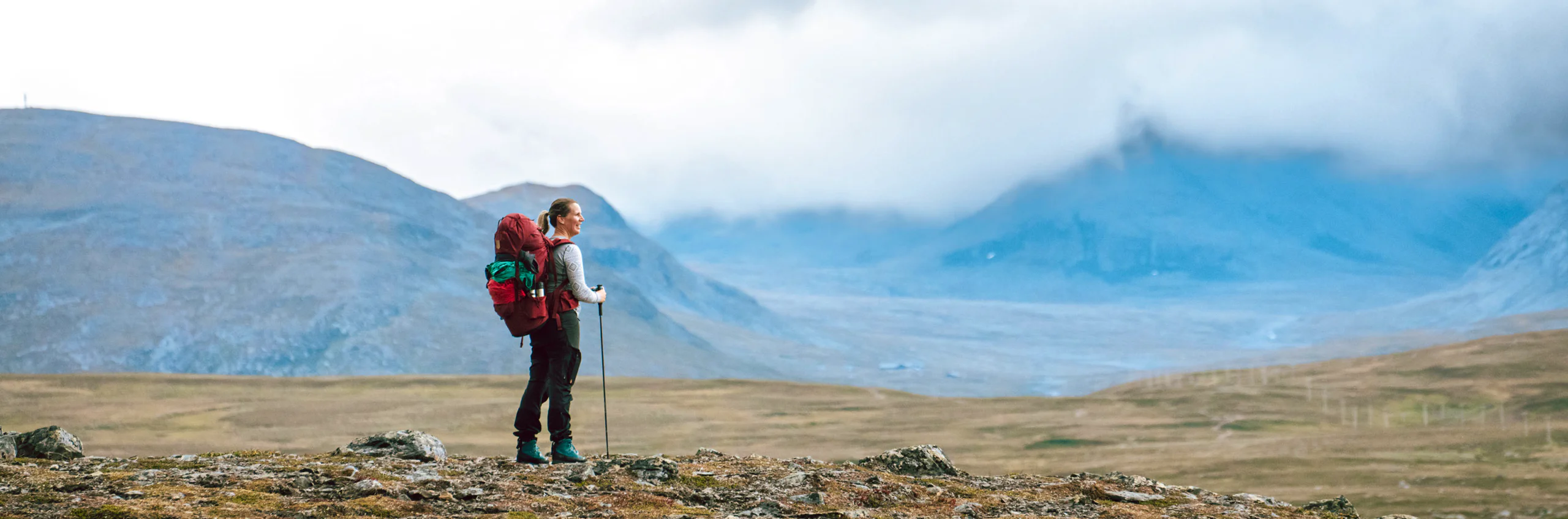
Hike the Jämtland triangle
The Jämtland triangle Jämtlandstriangeln is one of Sweden's most classic mountain hikes, and it suits both first-time mountain hikers and those with more experience. The trail runs between Storulvån, Sylarna and Blåhammaren through a varied and magnificent mountain landscape.
Jämtlandstriangeln is usually hiked over three days: from Storulvån Mountain station to Sylarna Mountain station, on to Blåhammaren and back to Storulvån. Or in the opposite direction.
Since the route takes you from one mountain station to the next, you don’t need to carry a tent or food for the entire hike. Each place has a shop and a self-catering kitchen, and Storulvån and Sylarna also have a restaurant. In Storulvån you can rent equipment such as skis and a backpack.
Learn more about how to avoid disturbing the reindeer.
Jämtland triangle facts
Map of the Jämtland Triangle
Navigate past map or other external content.This map is a planning tool and should not replace a physical map and compass. The service “Naturkartan” (opens in new tab) is operated by a company called “Outdoor map”. Please note that trail information is owned and updated by the respective trail administrator (e.g. municipality or county administrative board).
Book accommodation Jämtland triangle
STF Sylarna Mountain station
STF Storulvån Mountain station
Jämtland Triangle hiking packages
Getting to the trail
Take the train to Duved or Enafors. From there, you can book a transfer by bus or taxi to Storulvån via wansethbuss.se (opens in new tab).
If you are driving, take the E14 towards Åre and turn off towards Duved. From the E14 in Enafors, there are signs to Storulvån. There is parking and the option to charge an electric car. Please note! Between 1 February and 15 April, the road between Handöl and Storulvån is closed at night, 22:00–08:00. The road may also close during the day in bad weather.
The nearest airports are Östersund/Åre Airport and Trondheim/Værnes Airport.
The Jämtland Triangle with a tent
The Jämtland Triangle is also popular if you want to hike with a tent. The right of public access applies along most of the trail, but keep in mind that reindeer herding is practised throughout the area.
If you want to camp near a mountain station, you pay a camping and service fee. This gives you access to the self-catering kitchen, sauna and toilets, making it possible to combine the freedom of a tent with the comforts of the stations. The fee is paid on site.
Don’t miss
Stay an extra day at Sylarna and climb Syltoppen—a high alpine and exciting experience.
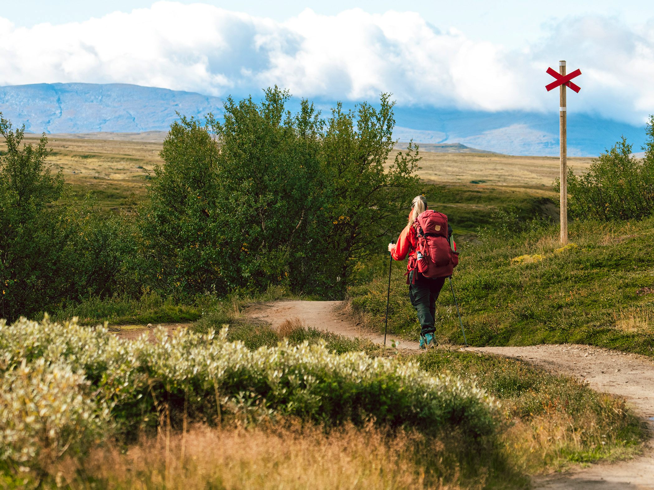
Stages of the Jämtland Triangle
Tip! Sleep the first night at STF Storulvån Mountain Station
Stage 1: Storulvån-Sylarna
16 kilometres, 5–7 hours of hiking
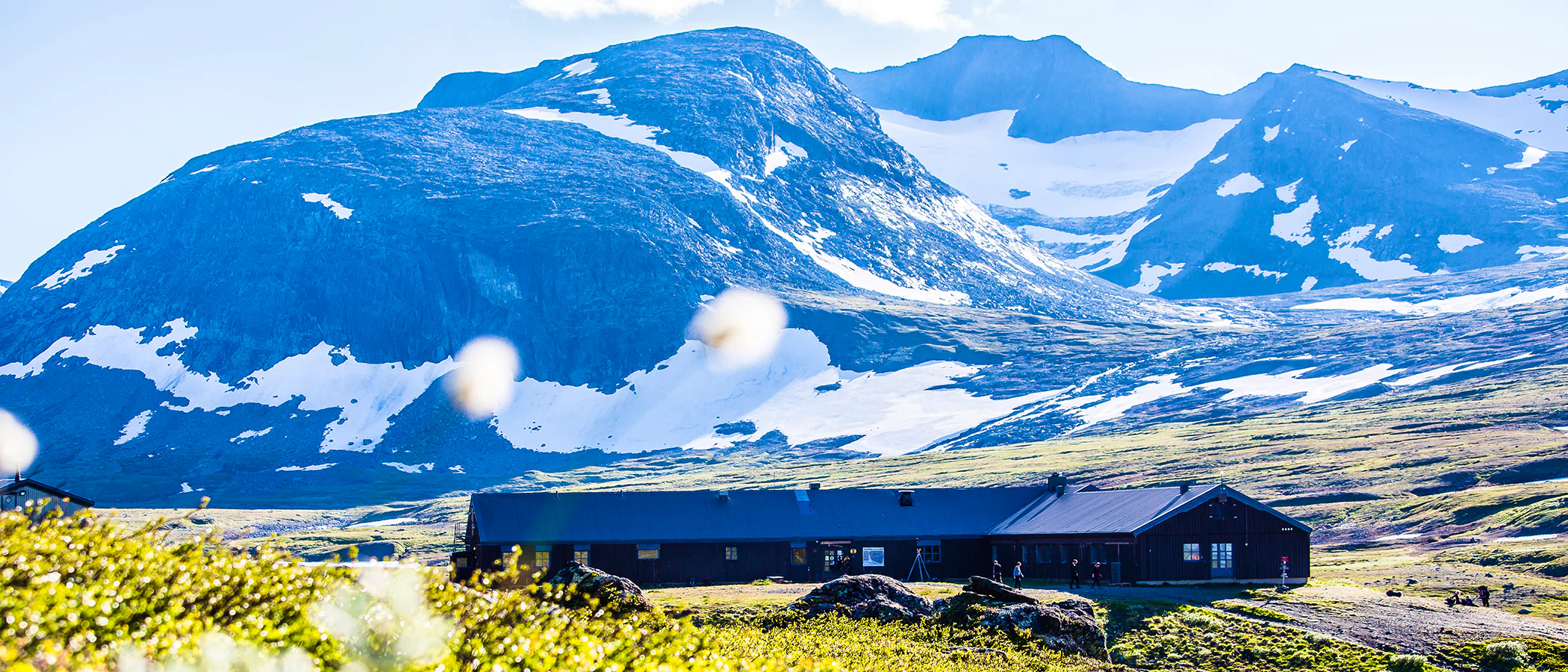
Accommodation: STF Sylarna Mountain Station
The first kilometres pass through mountain birch forest. After crossing the suspension bridge over Lill-Ulvån, the trail continues above the tree line all the way to the destination. The route climbs gently throughout, with only a few exceptions. The famous silhouette of the Sylarna peaks is visible for most of the day.
After about eight kilometres, you reach the Spåjme shelter, a popular spot for a break if the weather is rough. Water can be collected from streams along the way. At the station, there is a self-catering kitchen as well as a fully licensed restaurant.
Stage 2: Sylarna-Blåhammaren
19 kilometres, 6–8 hours of hiking
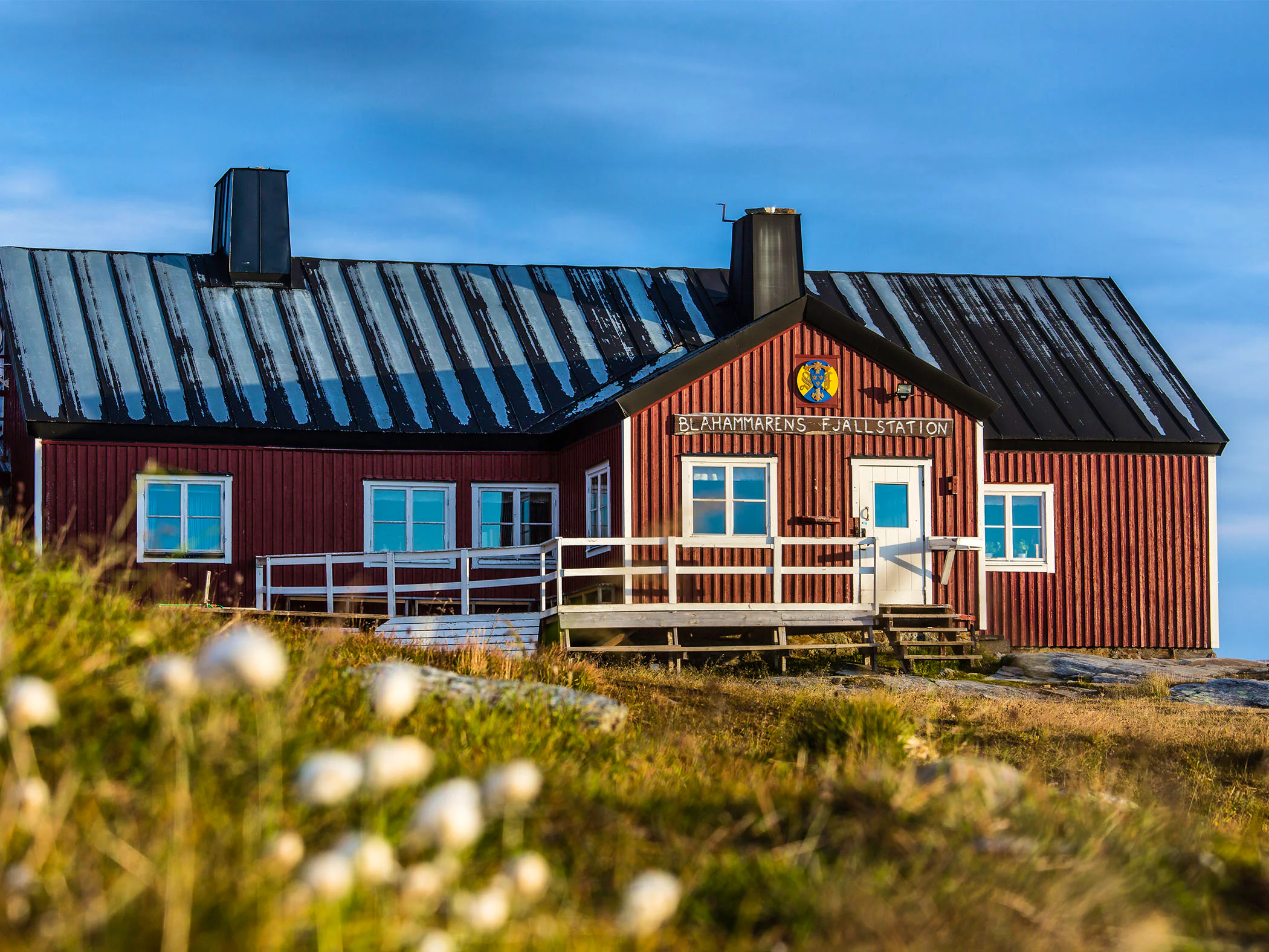
Accommodation: STF Blåhammaren
The day begins with a descent to the Enan river, followed by rolling terrain with both uphill and downhill sections. After the first climb, you’ll be rewarded with stunning views of the Sylarna massif—so don’t forget to look back! About halfway, you’ll reach the Enkälen shelter, a good spot for a break.
The day ends with an uphill stretch. This stage takes you through varied and sometimes rocky terrain that can also be quite exposed to strong winds. Water can be collected from streams along the way. At the station, there is a self-catering kitchen and a shop where you can buy supplies.
Around 4 km south of Blåhammaren, you may need to wade across a stream during periods of high water. Also keep in mind that reindeer herding takes place in the area, so be respectful and show consideration.
Stage 3: Blåhammaren-Storulvån
12 kilometres, 4–5 hours of hiking
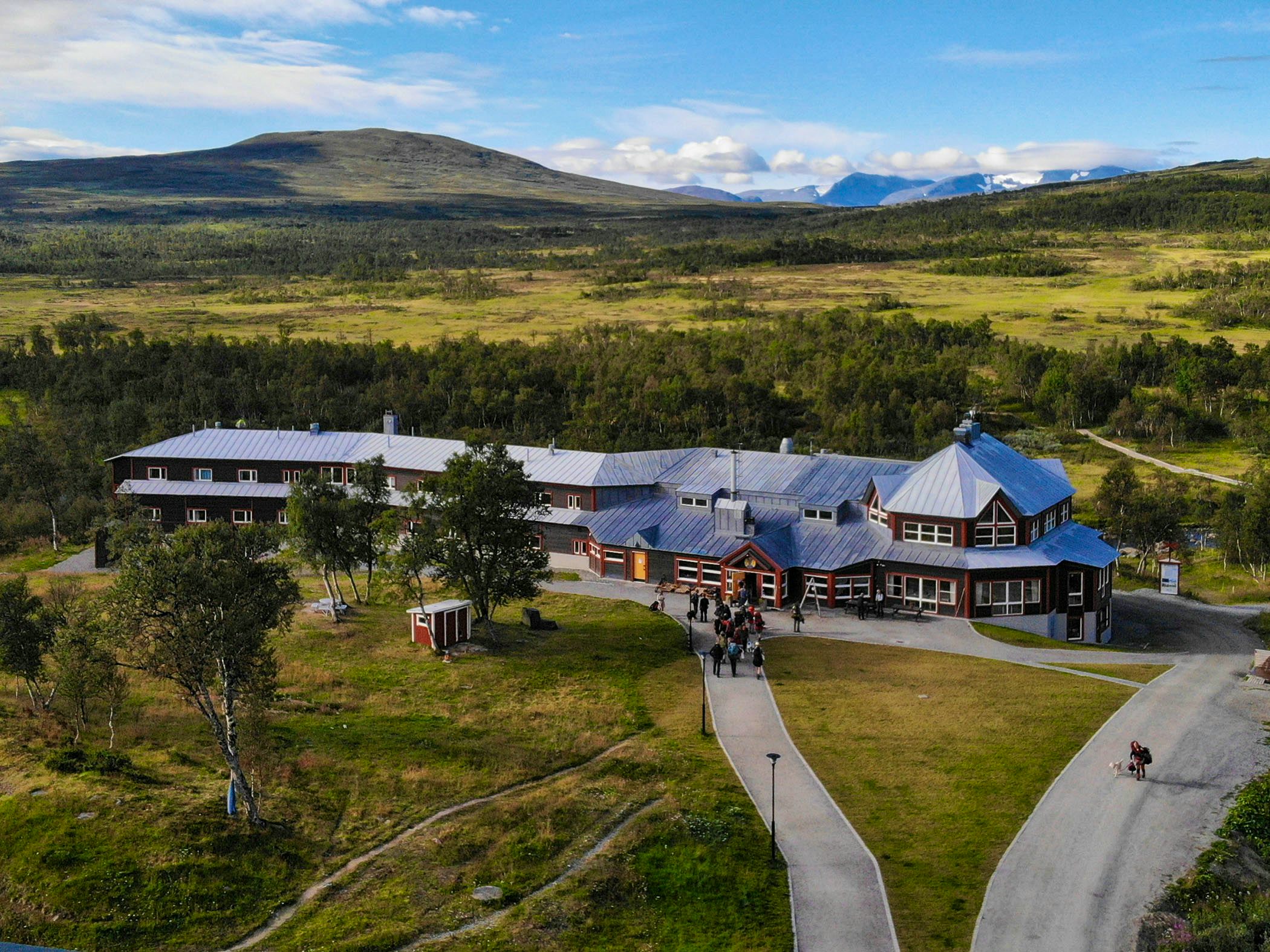
Accommodation: STF Storulvån Mountain Station
The final day can generally be described as flat, downhill, flat and downhill—an easy hike overall. After six kilometres, you’ll reach the Ulvåtjärn shelter. The surroundings here are almost magical, with steep sandy ridges and gently flowing streams.
The trail then crosses a stream that needs to be forded. After the crossing, you walk across an ancient lakebed from the last Ice Age. The route ends as it began—in mountain birch forest. Water can be collected from streams along the way. At the station, there is a self-catering kitchen and a fully licensed restaurant.
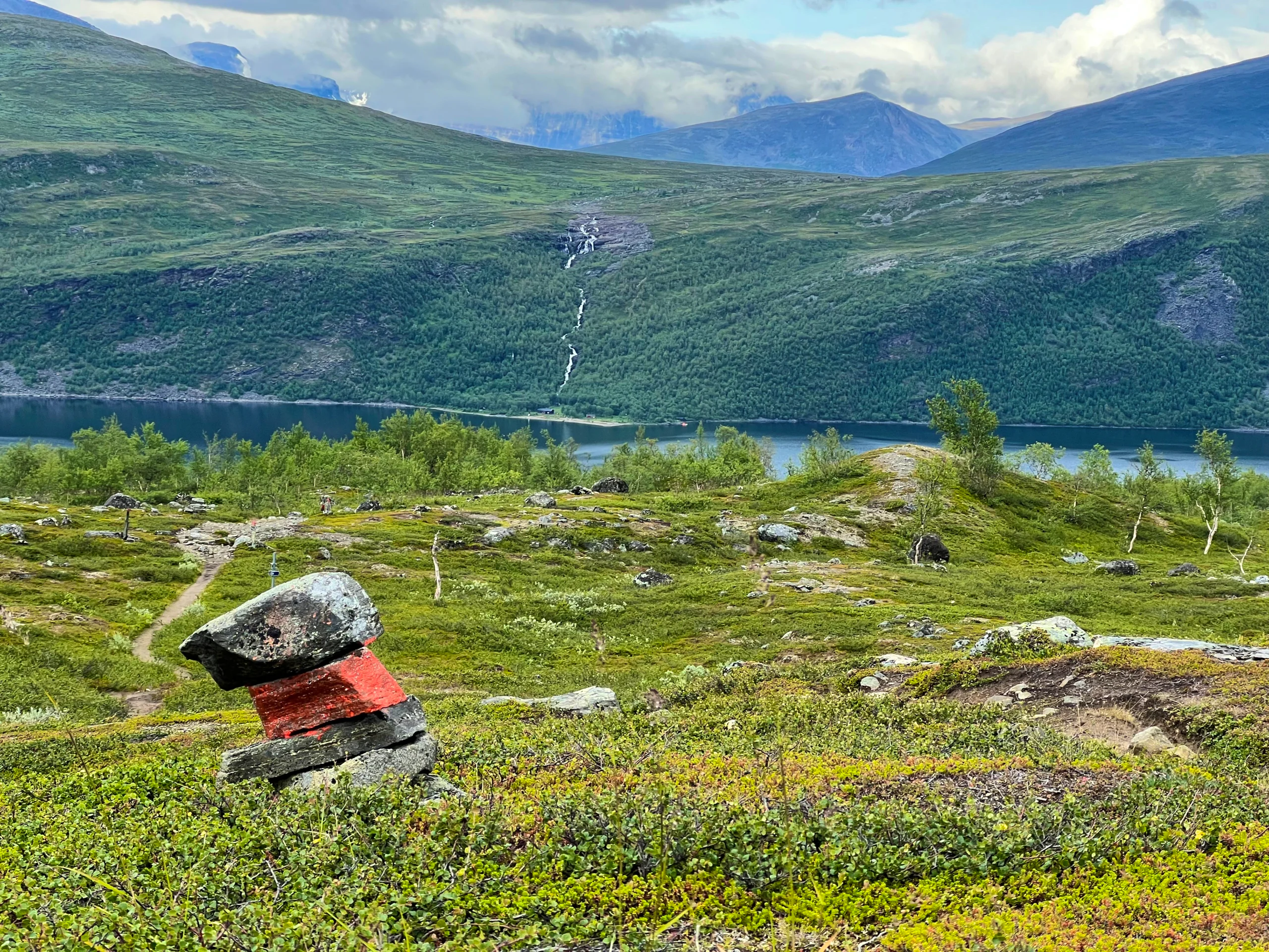
Trail markings
Check the trail markings before you set out. Winter trails are marked with crosses, while summer trails are marked with painted poles, stones, or trees. Winter trails can be difficult to follow in summer, so use a map and trail signs to navigate.
Read more about the trail systemVisitor calendar
Do you prefer a quieter experience in the mountains? Our visitor calendar gives you an overview of typical occupancy levels in this mountain area, helping you plan your trip during less busy periods. During quieter times, we also often offer better prices. Please note that the visitor calendar is only an indication and does not account for variations due to events or holidays.
Week |
24 |
25 |
26 |
27 |
28 |
29 |
30 |
31 |
32 |
33 |
34 |
35 |
36 |
37 |
38 |
39 |
40 |
|---|---|---|---|---|---|---|---|---|---|---|---|---|---|---|---|---|---|
Storulvån |
Closed |
More visitors Thurs-Sat |
Few visitors |
Few visitors |
Most visitors |
Most visitors |
Most visitors |
Most visitors |
Most visitors |
Most visitors |
More visitors Thurs-Sat |
More visitors Thurs-Sat |
More visitors Thurs-Sat |
More visitors Thurs-Sat |
More visitors Thurs-Sat |
Few visitors |
Few visitors |
Sylarna |
Closed |
Closed |
Closed |
Closed |
Closed |
Most visitors |
Most visitors |
Most visitors |
Most visitors |
Most visitors |
More visitors Thurs-Sat |
More visitors Thurs-Sat |
More visitors Thurs-Sat |
More visitors Thurs-Sat |
More visitors Thurs-Sat |
Few visitors |
Closed |
Blåhammaren |
Closed |
Closed |
Closed |
Few visitors |
Most visitors |
Most visitors |
Most visitors |
Most visitors |
Most visitors |
Most visitors |
More visitors Thurs-Sat |
More visitors Thurs-Sat |
More visitors Thurs-Sat |
More visitors Thurs-Sat |
More visitors Thurs-Sat |
Few visitors |
Closed |
Helags |
Closed |
Closed |
Closed |
Few visitors |
Most visitors |
Most visitors |
Most visitors |
Most visitors |
Most visitors |
Most visitors |
More visitors Thurs-Sat |
More visitors Thurs-Sat |
More visitors Thurs-Sat |
More visitors Thurs-Sat |
More visitors Thurs-Sat |
Few visitors |
Closed |
Vålådalen |
Few visitors |
Few visitors |
Few visitors |
Few visitors |
More visitors |
More visitors |
More visitors |
More visitors |
More visitors |
More visitors |
Few visitors |
Few visitors |
Few visitors |
Few visitors |
Few visitors |
Closed |
Closed |
Tänndalen / Skarvruet |
Few visitors |
Few visitors |
Few visitors |
Few visitors |
More visitors |
More visitors |
More visitors |
More visitors |
More visitors |
More visitors |
Few visitors |
Few visitors |
Few visitors |
Few visitors |
Few visitors |
Closed |
Closed |
Lunndörren |
Closed |
Closed |
Closed |
Few visitors |
Most visitors |
Most visitors |
Most visitors |
Most visitors |
More visitors Thurs-Sat |
More visitors Thurs-Sat |
More visitors Thurs-Sat |
More visitors Thurs-Sat |
More visitors Thurs-Sat |
More visitors Thurs-Sat |
More visitors Thurs-Sat |
Closed |
Closed |
Stensdalen |
Closed |
Closed |
Closed |
Few visitors |
Most visitors |
Most visitors |
Most visitors |
Most visitors |
More visitors Thurs-Sat |
More visitors Thurs-Sat |
More visitors Thurs-Sat |
More visitors Thurs-Sat |
More visitors Thurs-Sat |
More visitors Thurs-Sat |
More visitors Thurs-Sat |
Closed |
Closed |
Vålåstugan |
Closed |
Closed |
Closed |
Few visitors |
Most visitors |
Most visitors |
Most visitors |
Most visitors |
More visitors Thurs-Sat |
More visitors Thurs-Sat |
More visitors Thurs-Sat |
More visitors Thurs-Sat |
More visitors Thurs-Sat |
More visitors Thurs-Sat |
More visitors Thurs-Sat |
Closed |
Closed |
Fältjägaren |
Closed |
Closed |
Closed |
Few visitors |
More visitors |
More visitors |
More visitors |
More visitors |
Few visitors |
Few visitors |
Few visitors |
Few visitors |
Few visitors |
Few visitors |
Few visitors |
Closed |
Closed |
Arådalen |
Closed |
Few visitors |
Few visitors |
Few visitors |
Few visitors |
Few visitors |
Few visitors |
Few visitors |
Few visitors |
Few visitors |
Few visitors |
Few visitors |
Few visitors |
Few visitors |
Few visitors |
Closed |
Closed |
Anaris |
Closed |
Closed |
Closed |
Few visitors |
More visitors |
More visitors |
Most visitors |
Most visitors |
More visitors Thurs-Sat |
More visitors Thurs-Sat |
More visitors Thurs-Sat |
More visitors Thurs-Sat |
More visitors Thurs-Sat |
More visitors Thurs-Sat |
Few visitors |
Closed |
Closed |
More pages about hiking

Selected hiking trails
On this page we present a selection of popular and high-quality trails across the country.
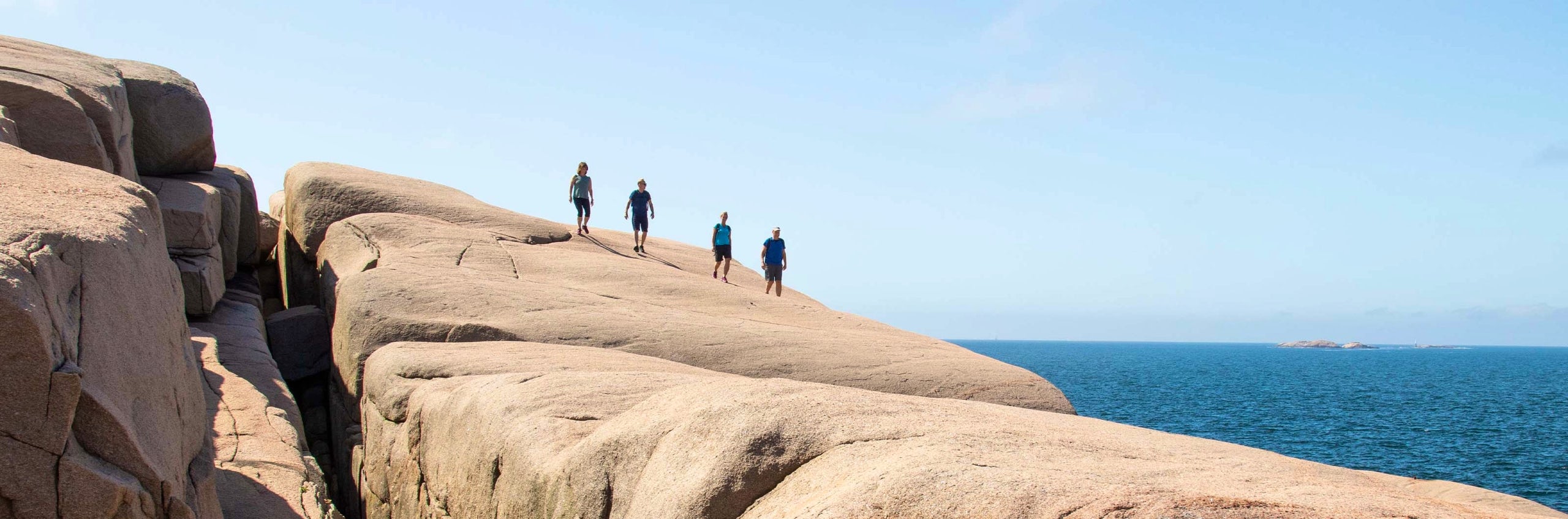
STF’s Signature Trails
STF has selected some of the most spectacular routes in the country and brought them together under the name Signature Trails.

Hiking
On this page you will find helpful tips and information for your hike.