Nikkaluokta – Kebnekaise
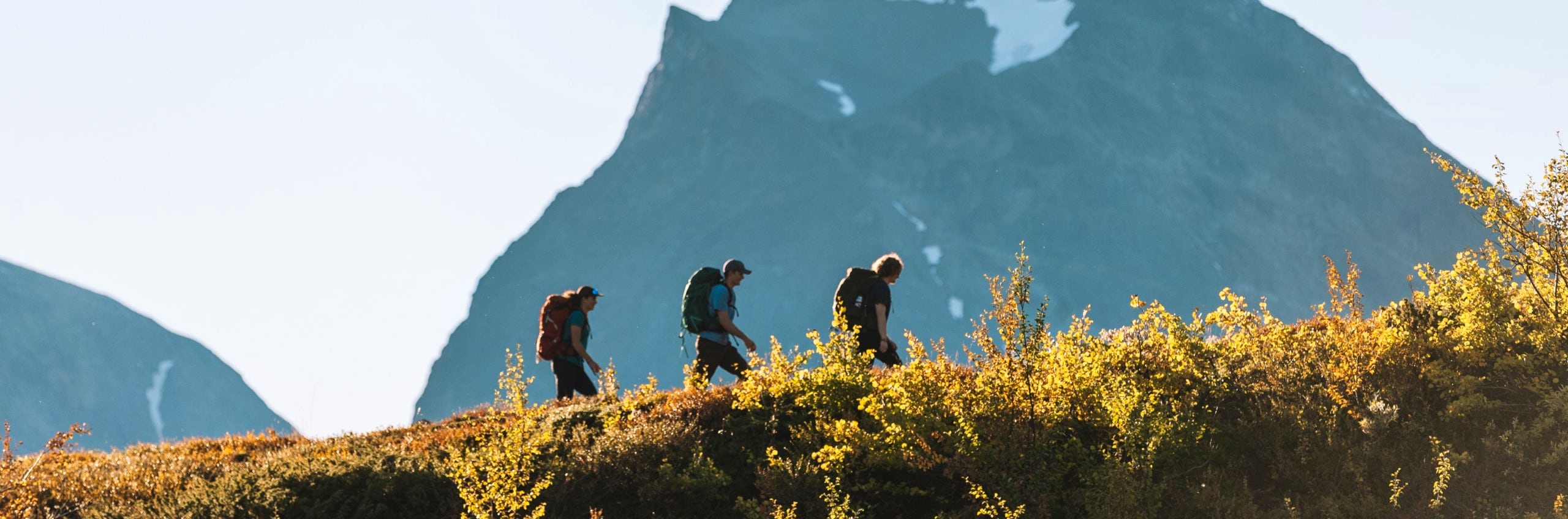
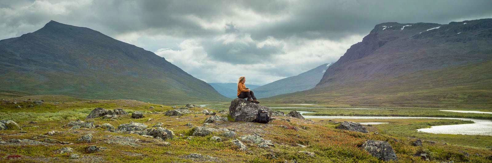
The hike between Nikkaluokta and Kebnekaise mountain station is one of the most classic starting routes in the Swedish mountains. The trail takes you through birch forest, across alpine heath, and alongside gently flowing streams, with magnificent views of the Kebnekaise massif as your destination. The route is relatively easy to hike and suits both experienced hikers and beginners who want to experience the mountains up close.
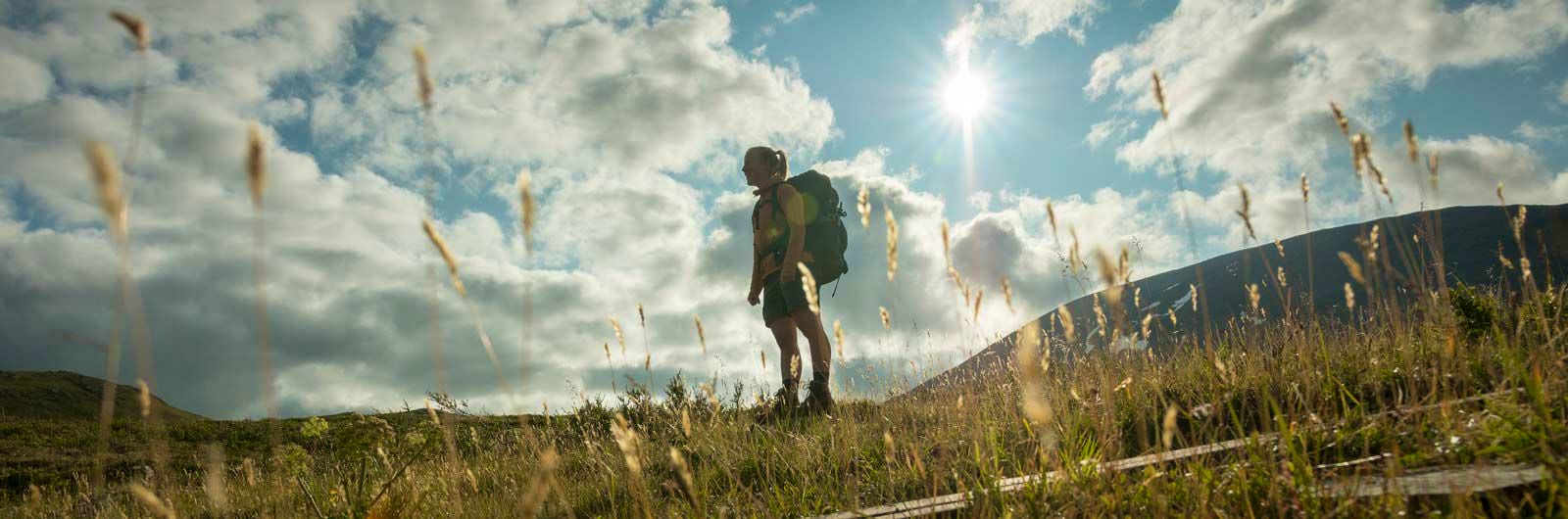
The hike starts in the village of Nikkaluokta, where there is a restaurant and a small shop. The first part of the trail follows a narrow gravel road through mountain birch forest. Gradually, the road transitions into a more natural mountain path, which is partly rocky and includes sections of boardwalk.
If you want to shorten the hike, you can take a boat across Lake Ladtjojaure. The boat trip saves about six kilometres of walking and runs several times a day according to schedule. Read more about boats in the mountains here.
At the jetty, the landscape opens up with views towards the Kebnekaise massif. This is also where Restaurang Enoks is located, where many hikers take a break. The menu includes waffles with cloudberries and reindeer burgers – a welcome energy boost before continuing towards the mountain station.
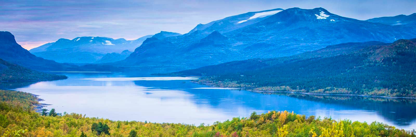
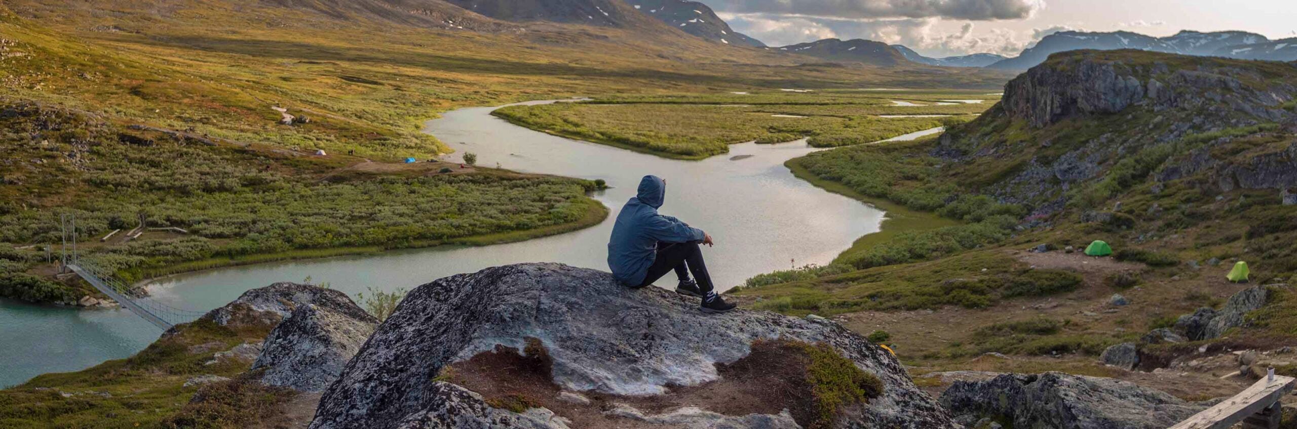
If you continue on foot, the trail climbs gently through the valley for several kilometres. Along the way, you pass the bridge over Tarfalajåkka, which carries meltwater down from the glaciers in the Tarfala Valley.
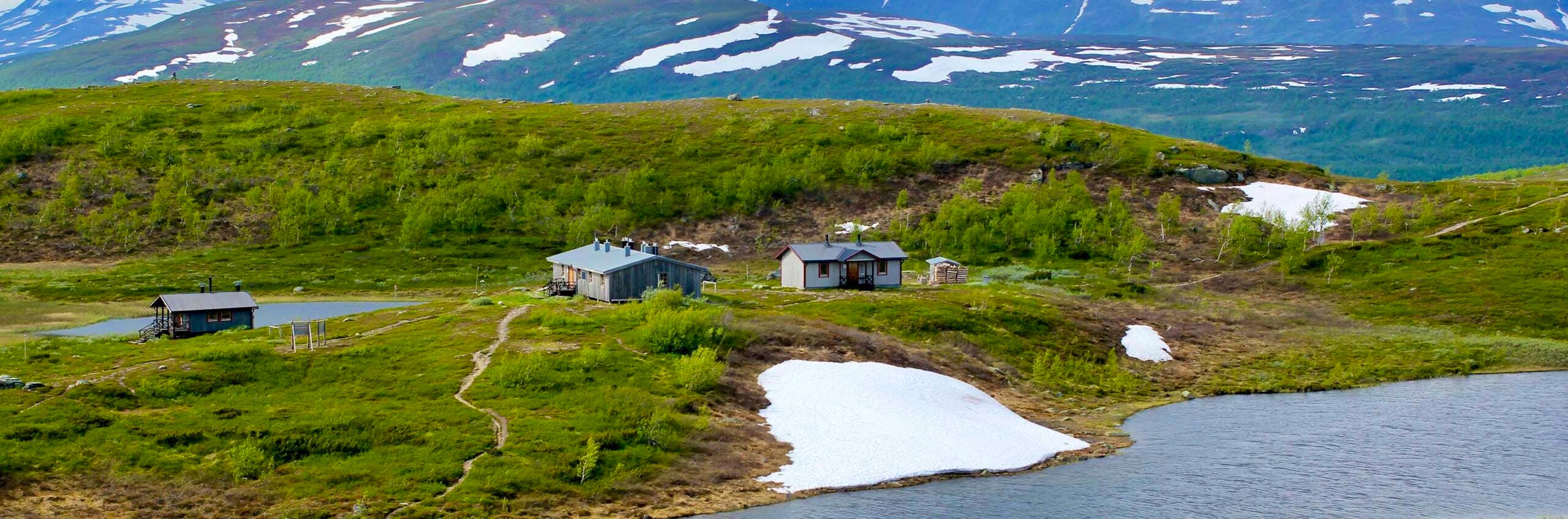
Eventually, you reach STF Kebnekaise Mountain station. Here you’ll find a restaurant, shop, and other services. When weather permits, daily guided tours also depart from here to Kebnekaise’s southern peak.
Quick facts
Stage distance / time
19 km / 5–7 hours
Elevation
470–650 m a.s.l.
STF location
STF Kebnekaise Mountain station
Mountain maps
Calazo; Kungsleden: Kebnekaise, Abisko & Riksgränsen 1:50,000
Calazo; Kebnekaisefjällen & Narvik 1:100,000
Read more about Kungsleden
Kungsleden Saltoluokta – Kvikkjokk
The stretch between Saltoluokta and Kvikkjokk is just over 70 km and offers striking contrasts.
Kungsleden Nikkaluokta – Saltoluokta
Experience one of Sweden’s most classic mountain hikes on the Kungsleden between Nikkaluokta and Saltoluokta.
Kungsleden Kvikkjokk – Ammarnäs
The stretch between Kvikkjokk and Ammarnäs is the least hiked part of the King’s Trail (Kungsleden) and offers a calm and magnificent experience.
Kungsleden Ammarnäs–Hemavan
The southern end of the Kungsleden is Hemavan. From here, you hike through the Vindelfjällen Nature Reserve – a Lapland in miniature.
Kungsleden Abisko–Nikkaluokta
This section describes the northern part of the 450 km-long Kungsleden, from Abisko to Nikkaluokta. A hike of 5–7 days.
Kungsleden
The Kungsleden Trail, the King’s Trail, between Abisko and Hemavan is one of the world’s most famous – and perhaps finest – long-distance hiking routes.