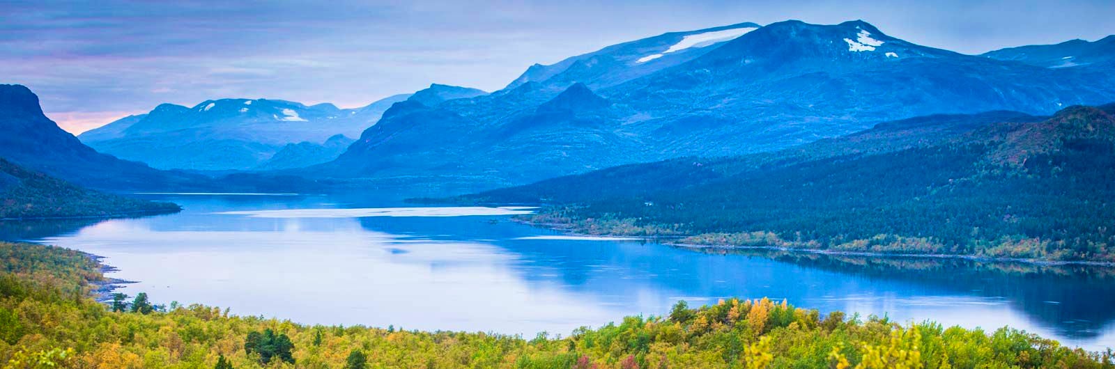
Kungsleden Nikkaluokta–Saltoluokta
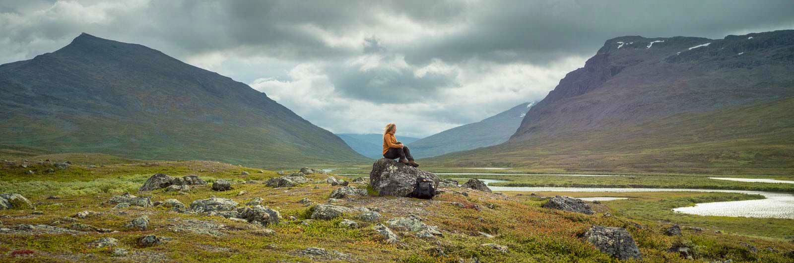
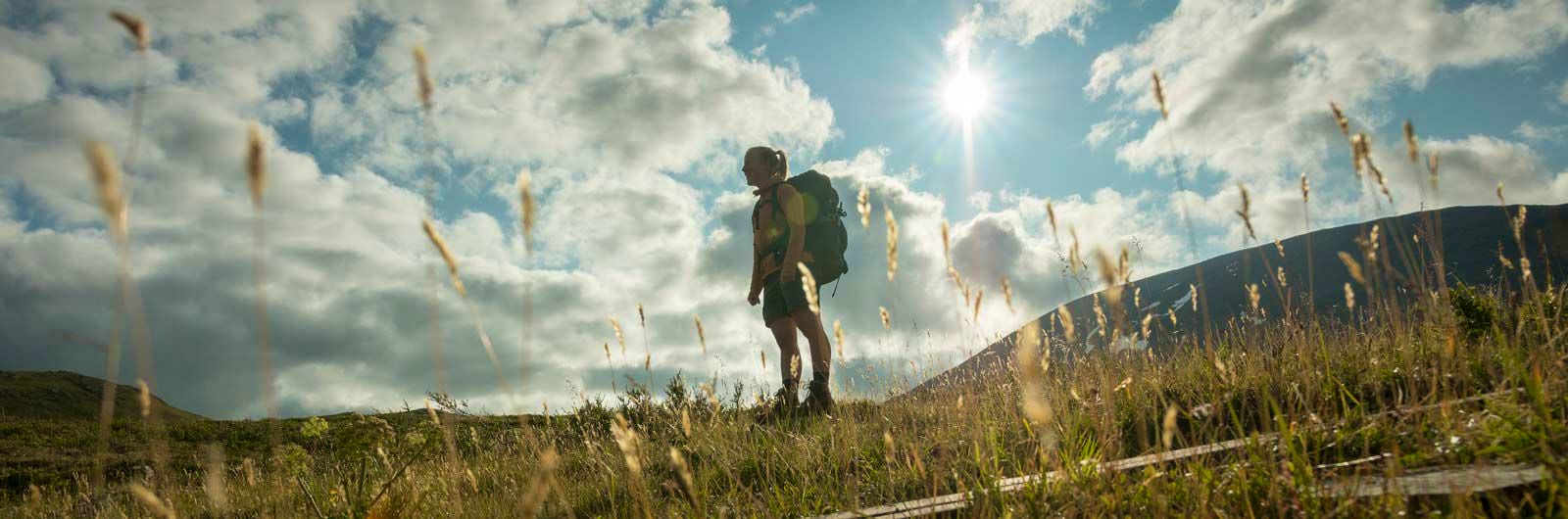
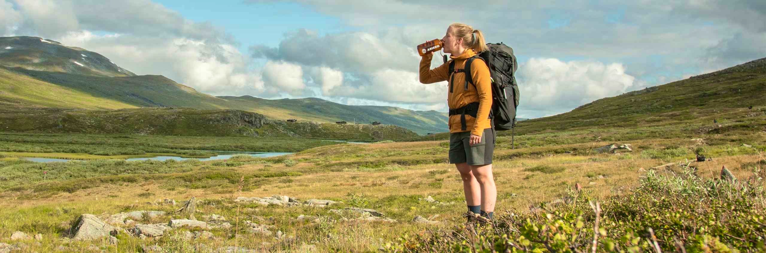
Experience one of Sweden’s most classic mountain hikes on the Kungsleden between Nikkaluokta and Saltoluokta. This stretch offers varied terrain – from lush mountain birch forests and vast alpine landscapes to dramatic passes and breathtaking views of valleys and peaks. Here, you’ll experience the mountains of Lapland at their most magnificent.
The hike begins where the road ends, in the village of Nikkaluokta. The first stretch towards STF Kebnekaise Mountain station passes through mountain birch forest before the landscape opens up into vast alpine heaths. If you choose to stay an extra day at the mountain station, there are excellent opportunities for summit hikes with the station’s guides.
The trail continues through powerful valleys, over imposing passes, and between steep mountain walls. As the valleys open up, magnificent views unfold in all directions. Challenging sections alternate with easier terrain – always set against the dramatic backdrop of the mountains.
On the fifth day, you hike through Stora Sjöfallet National Park. From higher elevations, you may, in clear weather, see all the way into Sarek. Many choose to continue to STF Saltoluokta Mountain station after STF Vakkotavare Mountain cabin. If you want to continue further, take the bus to Kebnats and then a connecting boat, which is timed to match the bus schedule.
Learn more about how to avoid disturbing the reindeer.
Nikkaluokta – Saltoluokta in short
*On the final stage (STF Vakkotavare Mountain Cabin–STF Saltoluokta Mountain Station), a bus is available and should be booked in advance. Otherwise, the route follows a road. Taking the bus can shorten the hike by one day.
Map of Kungsleden Nikkaluokta – Saltoluokta
Navigate past map or other external content.This map is a planning tool and should not replace a physical map and compass. The service “Naturkartan” (opens in new tab) is operated by a company called “Outdoor map”. Please note that trail information is owned and updated by the respective trail administrator (e.g. municipality or county administrative board).
Getting to the trail
Take the train to Kiruna. From there, take a bus to Nikkaluokta, which takes about 1.5 hours. Timetables are available via Nikkaluoktaexpressen (opens in new tab).
Search for your journey from your departure point all the way to your final destination – in this case, Nikkaluokta. This ensures you get connections that combine both train and bus. You’ll also have travel protection, so any delays won’t affect your ability to reach your destination.
To get to or from Vakkotavare, there are bus connections to Gällivare. Information about departures and stops can be found on roadtoritsem.com (opens in new tab). From Gällivare, trains run both southbound and northbound.
Don’t miss
The summit of Sanjartjåkka, west of STF Kaitumjaure, offers fantastic views. There’s a summit box with a guestbook where you can write about your experience – ask the cabin host for directions.
On the plateau in the western part of Kaukulvagge, you’ll find many traces of earlier Sámi generations.
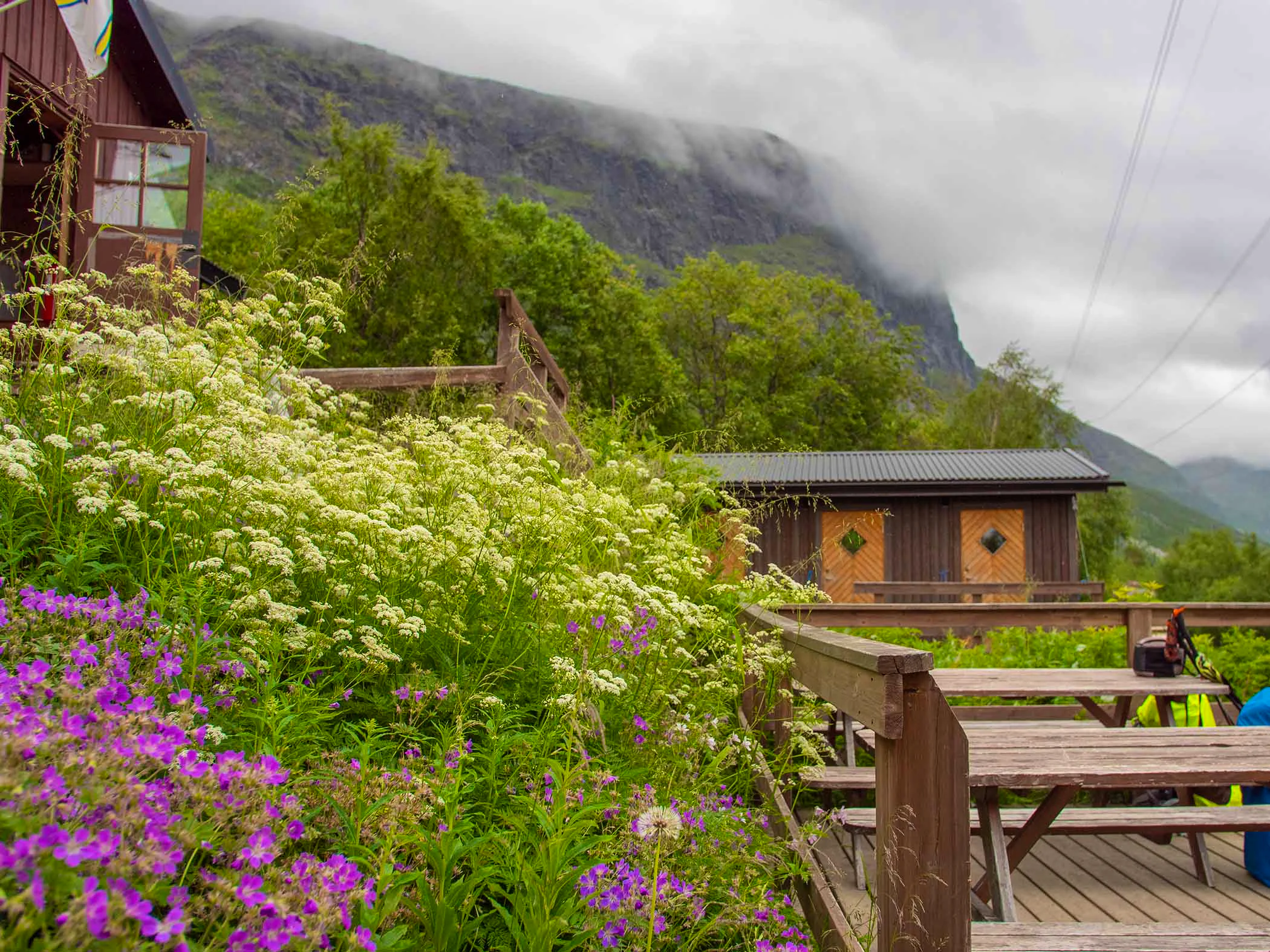
Before reaching STF Teusajaure Mountain Cabin, you’ll pass a waterfall that can feel almost tropical. Veils of water cascade down the mountainside in steps, landing in lush greenery.
Stages Kungsleden Nikkaluokta–Saltoluokta
Stage 1: Nikkaluokta–STF Kebnekaise Mountain station
19 km, 5–7 hours of hiking
Accommodation: STF Kebnekaise Mountain station
You begin your hike in the village of Nikkaluokta, where there is a restaurant and a small shop. The trail runs mainly through mountain birch forest. It starts on a narrow, tractor-like track and later becomes a relatively rocky path with sections of boardwalk.
If you prefer, you can take a boat that shortens the hike by 6 km. The boat runs several times a day according to schedule. At the jetty, you’ll be rewarded with a spectacular view of the Kebnekaise massif. Here you’ll also find Restaurant Enoks, which serves dishes such as reindeer burgers and waffles with cloudberries.
If you continue hiking from the jetty, the trail climbs gently for a few kilometres before reaching your destination. You’ll cross the bridge over Darfáljohka, which drains the glaciers in the Tarfala Valley. Upon arrival at STF Kebnekaise Mountain Station, you’ll have access to a restaurant, shop and other services.
Stage 2: STF Kebnekaise Mountain station–STF Singi Mountain cabin
15 km, 4–6 hours of hiking
Accommodation: STF Singi Mountain cabin
On your hike between STF Kebnekaise Mountain Station and the Singi cabins, you pass through the narrow and at times dramatic Laddjuvagge Valley. This area is home to several of Sweden’s classic climbing routes. The landscape along the way is striking – the first kilometres from the mountain station traverse sloping and partly rocky terrain.
The route then continues west towards the imposing passage between the steep walls of Singitjåkka and Skárttoaivi.
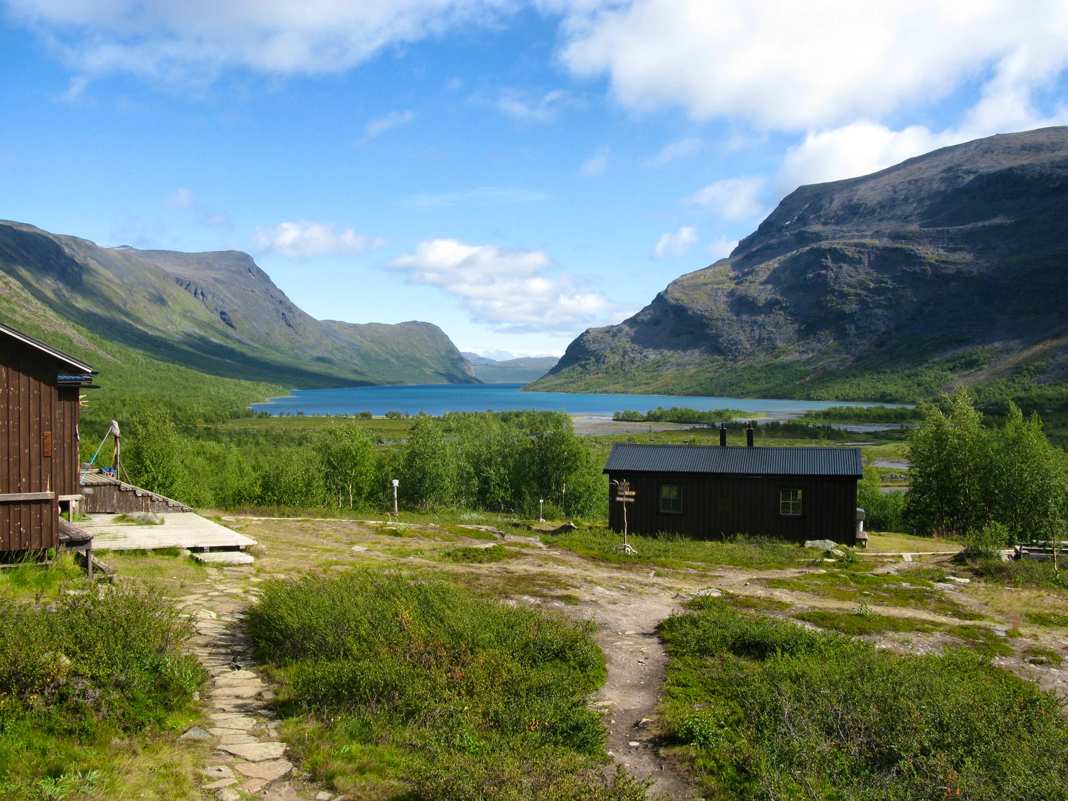
The valley opens up just before you reach STF Singi. From here, the views are truly impressive. As you reach the ridge marking the end of the narrow section, you’re rewarded with spectacular views in both directions. After the ridge, you pass Lake Lassajaure before the trail descends towards STF Singi Mountain Cabin, located along the King’s Trail.
There is no shop at Singi, so you’ll need to bring your own food.
Stage 3: STF Singi Mountain cabin–STF Kaitumjaure Mountain cabin
13 km, 4–5 hours of hiking
Accommodation: STF Kaitumjaure Mountain cabin
This is an easy stage that follows the Tjäktjajåkka river down to its outlet in Lake Kaitumjaure. You hike through an old reindeer herding area, where remains of Sámi huts and grazing grounds can be found in several places.
The trail begins in gently rolling terrain, which soon opens up into flat heather-covered plains. Overall, elevation changes are minimal. During the first 10 kilometres, there are plenty of good rest spots with easy access to water almost everywhere.
Only after crossing the bridge about 3 kilometres north of STF Kaitumjaure does the terrain become slightly more challenging, although much of the trail is covered with boardwalks. Kaitumjaure has a small shop with a limited selection.
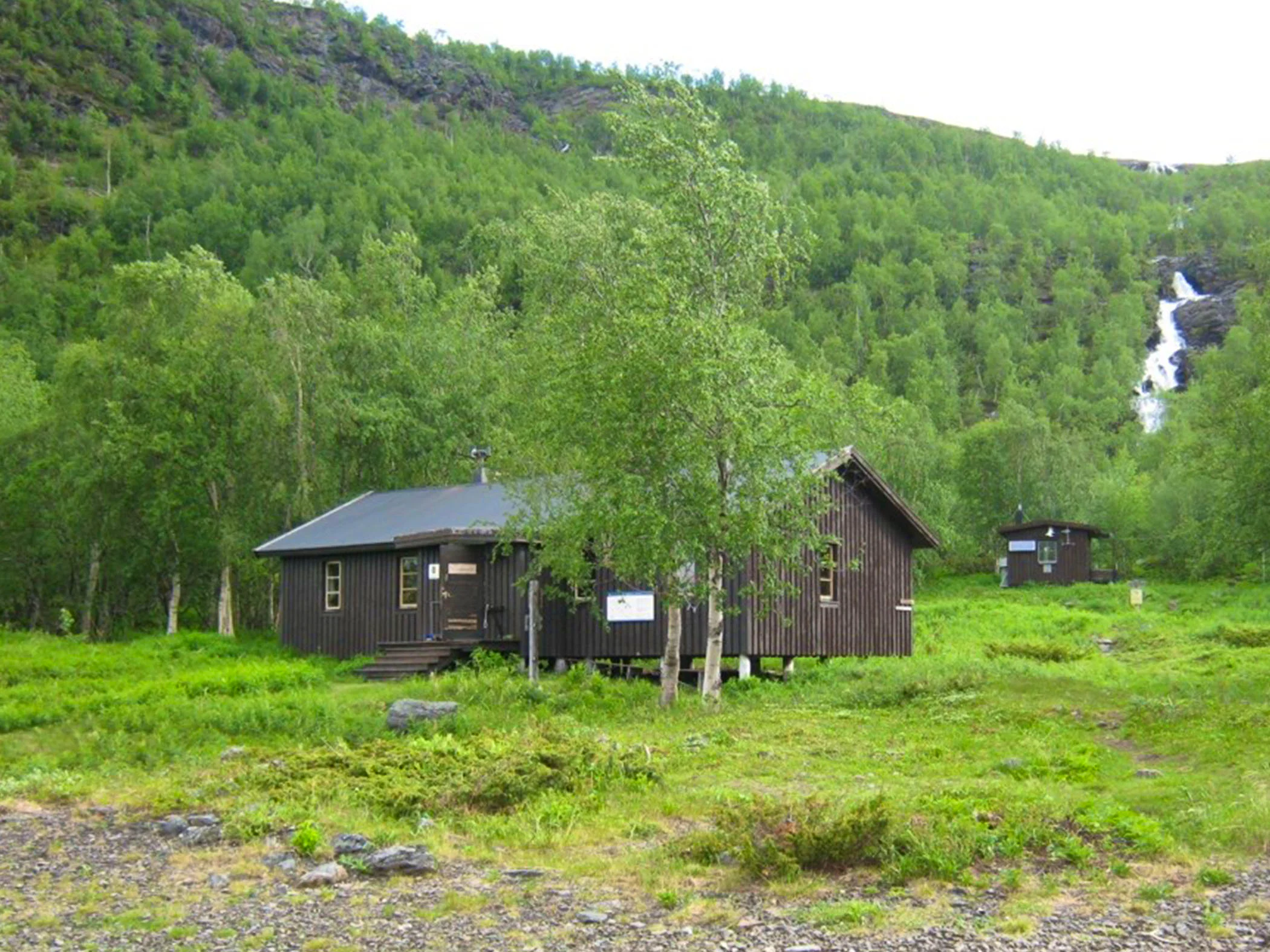
Stage 4: STF Kaitumjaure Mountain cabin–STF Teusajaure Mountain cabin
9 km, 4–5 hours of hiking
Accommodation: STF Teusajaure Mountain cabin
About 4 km south of STF Kaitumjaure, you’ll find a Sámi hut (kåta) near the trail. It was renovated in the 20th century and can provide temporary shelter. About 1 km further on, the trail continues across beautiful mountain heaths. Here, you reach the highest point of the stage at 780 metres above sea level, before descending steeply towards Lake Teusajaure and the cabin.
There is a small shop here with a limited selection.
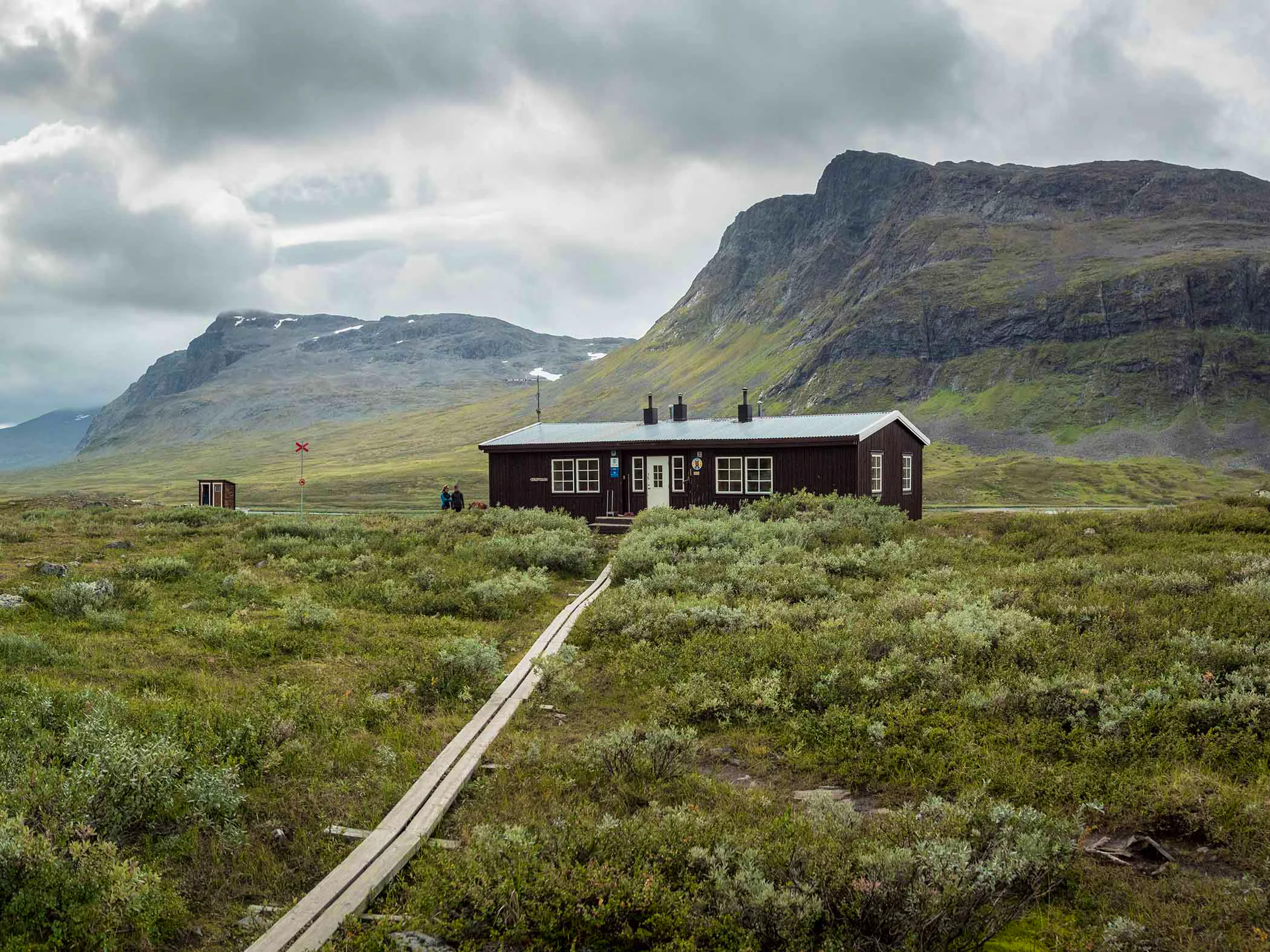
Stage 5: STF Teusajaure Mountain cabin–STF Vakkotavare Mountain cabin
15 km, 4–6 hours of hiking
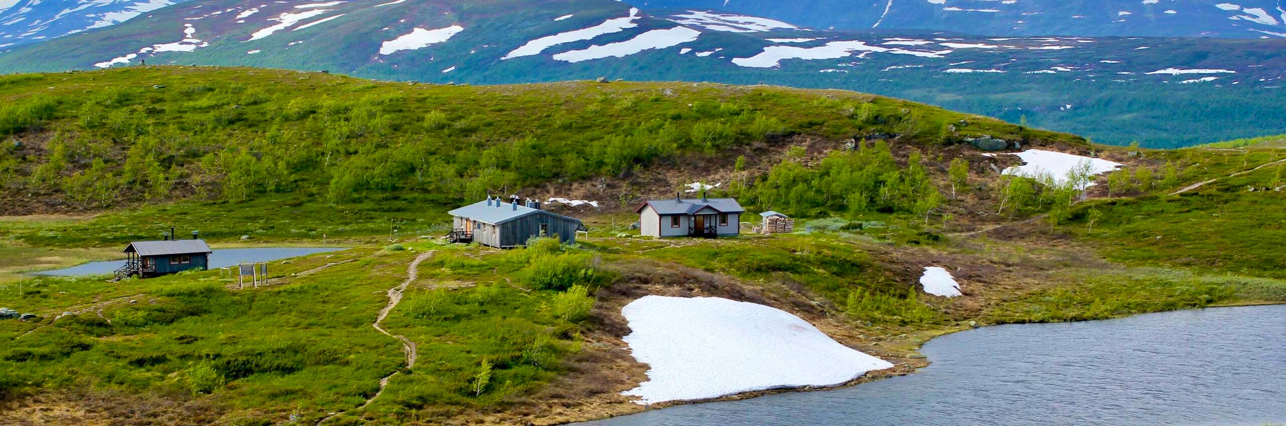
Accommodation: STF Vakkotavare Mountain cabin
The day begins with the cabin host offering a boat transfer across the lake. Experienced rowers can use a rowing boat, but the lake can be difficult to cross in certain wind conditions.
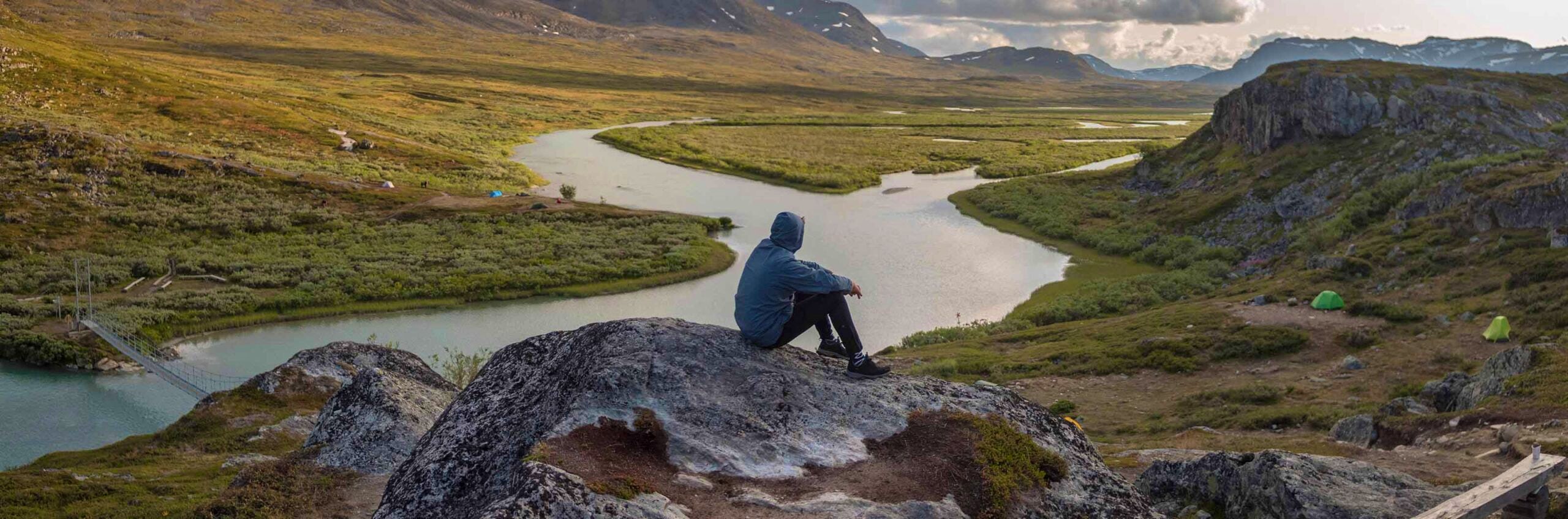
Once you reach the other side, you enter Stora Sjöfallet National Park. A scenic and relatively easy stage awaits – though with some demanding elevation changes. The hike starts with a long ascent, first through mountain birch forest and then above the tree line.
After about 5 kilometres, you’ll reach a stream ravine that can provide shelter. Walk upstream from the bridge that crosses the stream. From there, the slope levels out and the trail continues across wide open heaths.
Finally, the route descends in switchbacks through mountain birch forest down to STF Vakkotavare Mountain Cabin and the main road between Ritsem and Gällivare. There is no shop here, so you’ll need to carry your own food.
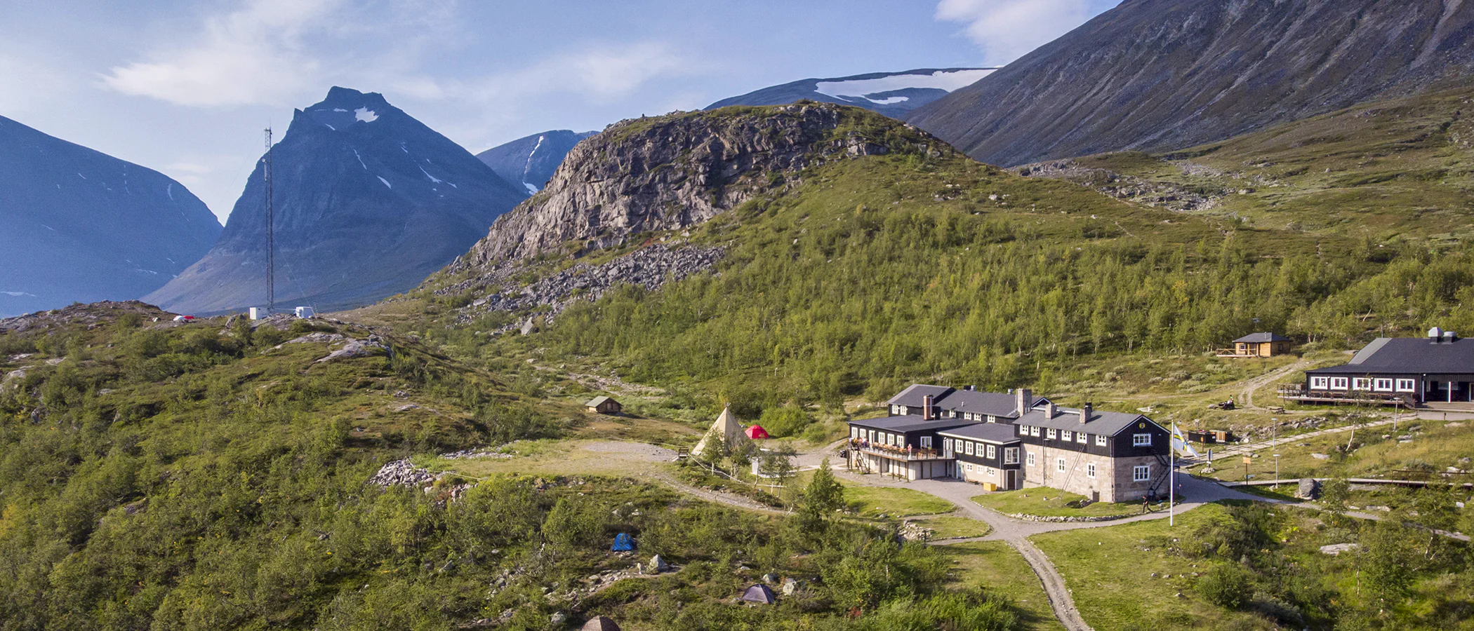
Stage 6: STF Vakkotavare Mountain cabin–STF Saltoluokta Mountain station
30 km, 9–11 hours of hiking (bus is also an option)
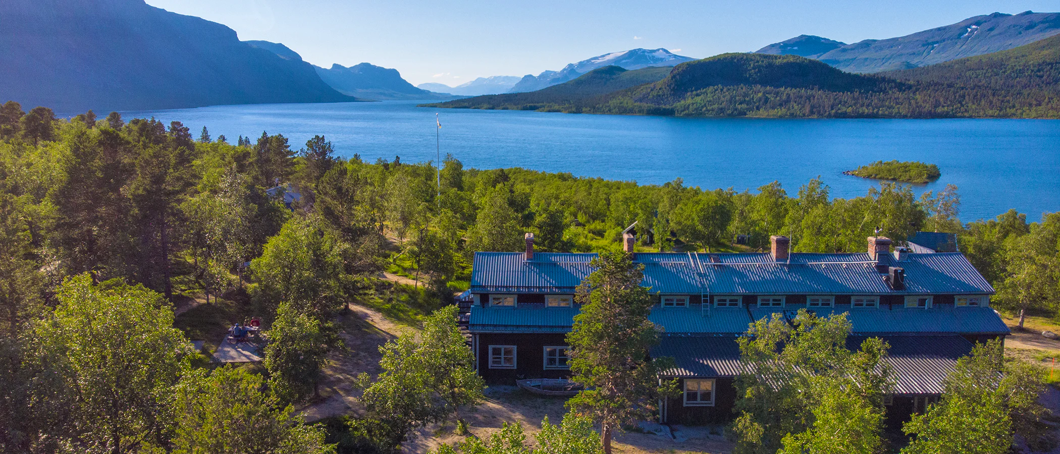
Accommodation: STF Saltoluokta Mountain station
The hike between STF Vakkotavare Mountain Cabin and STF Saltoluokta Mountain Station is a long stretch along what is perhaps Sweden’s most scenic road, surrounded by dramatic mountains and majestic views. This final stage is often divided into two hiking days due to the distance.
The most common option, however, is to take a bus (Flixbus) from Vakkotavare to Kebnats. From Kebnats, you take the boat M/S Langas across to STF Saltoluokta Mountain Station. The boat trip takes about 15 minutes.
Here, you’ll find a restaurant and full services. Be sure to pre-book dinner if you want to guarantee a table.
Timetable for FlixBus (Vakkotavare–Kebnats) (opens in new tab)
Timetable for M/S Langas.
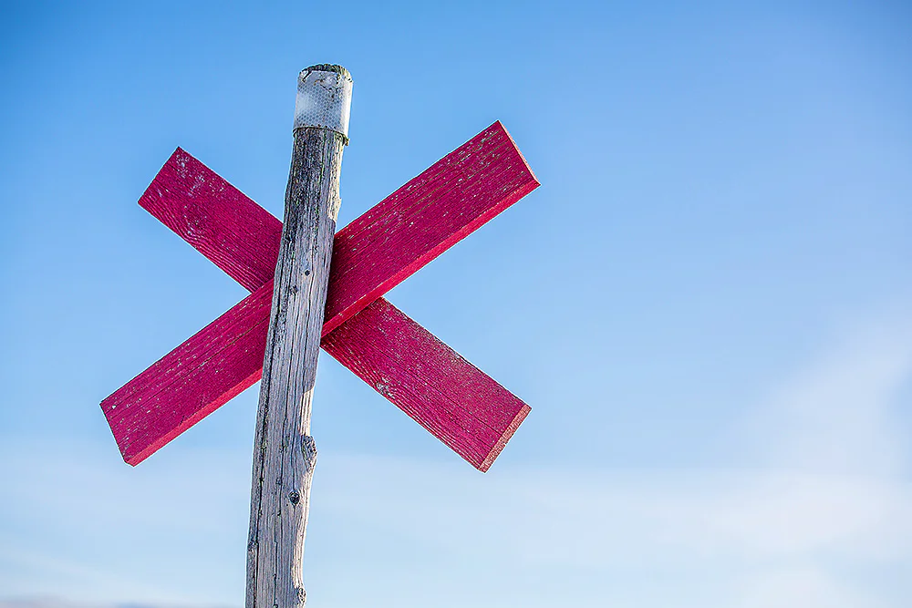
Trail markings
Check the trail markings before you set out. Winter trails are marked with crosses, while summer trails are marked with painted poles, stones, or trees. Winter trails can be difficult to follow in summer, so use a map and trail signs to navigate.
Read more about the trail systemAccommodation Nikkaluokta – Saltoluokta
STF Kebnekaise Mountain station
STF Kaitumjaure Mountain cabin
STF Vakkotavare Mountain cabin
Visitor calendar
Do you prefer a quieter experience in the mountains? Our visitor calendar gives you an overview of typical occupancy levels in this mountain area, helping you plan your trip during less busy periods. During quieter times, we also often offer better prices. Please note that the visitor calendar is only an indication and does not account for variations due to events or holidays.
Week |
24 |
25 |
26 |
27 |
28 |
29 |
30 |
31 |
32 |
33 |
34 |
35 |
36 |
37 |
38 |
39 |
|---|---|---|---|---|---|---|---|---|---|---|---|---|---|---|---|---|
Saltoluokta |
Few visitors |
More visitors Thurs-Sat |
Few visitors |
Few visitors |
Most visitors |
Most visitors |
Most visitors |
Most visitors |
Most visitors |
Most visitors |
More visitors Thurs-Sat |
More visitors Thurs-Sat |
More visitors Thurs-Sat |
More visitors Thurs-Sat |
Closed |
Closed |
Kvikkjokk |
Few visitors |
Few visitors |
Few visitors |
Few visitors |
Most visitors |
Most visitors |
Most visitors |
Most visitors |
Most visitors |
Most visitors |
Few visitors |
Few visitors |
Few visitors |
Few visitors |
Few visitors |
Few visitors |
Ritsem |
Closed |
Few visitors |
Few visitors |
Few visitors |
More visitors |
More visitors |
Most visitors |
Most visitors |
More visitors |
More visitors |
Few visitors |
Few visitors |
Few visitors |
Closed |
Closed |
Closed |
Aktse |
Closed |
Few visitors |
Few visitors |
Few visitors |
More visitors |
More visitors |
Most visitors |
Most visitors |
More visitors |
More visitors |
More visitors Thurs-Sat |
More visitors Thurs-Sat |
More visitors Thurs-Sat |
More visitors Thurs-Sat |
Closed |
Closed |
Akka |
Closed |
Closed |
Few visitors |
Few visitors |
More visitors |
More visitors |
Most visitors |
Most visitors |
Few visitors |
Few visitors |
Few visitors |
Few visitors |
Few visitors |
Closed |
Closed |
Closed |
Sitojaure |
Closed |
Few visitors |
Few visitors |
Few visitors |
More visitors |
More visitors |
Most visitors |
Most visitors |
More visitors |
More visitors |
Few visitors |
Few visitors |
Few visitors |
Few visitors |
Closed |
Closed |
Vakkotavare |
Closed |
Few visitors |
Few visitors |
Few visitors |
More visitors |
More visitors |
Most visitors |
Most visitors |
More visitors |
More visitors |
Few visitors |
Few visitors |
Few visitors |
Few visitors |
Closed |
Closed |
Pårte |
Closed |
Few visitors |
Few visitors |
Few visitors |
More visitors |
More visitors |
Most visitors |
Most visitors |
More visitors |
More visitors |
Few visitors |
Few visitors |
Few visitors |
Few visitors |
Closed |
Closed |
Kutjaure |
Closed |
Closed |
Closed |
Few visitors |
More visitors |
More visitors |
Most visitors |
Most visitors |
Few visitors |
Few visitors |
Few visitors |
Few visitors |
Few visitors |
Closed |
Closed |
Closed |
Teusajaure |
Closed |
Few visitors |
Few visitors |
Few visitors |
More visitors |
More visitors |
Most visitors |
Most visitors |
More visitors |
More visitors |
Few visitors |
Few visitors |
Few visitors |
Few visitors |
Closed |
Closed |
Vaisaluokta |
Closed |
Closed |
Few visitors |
Few visitors |
More visitors |
More visitors |
Most visitors |
Most visitors |
Few visitors |
Few visitors |
Few visitors |
Few visitors |
Few visitors |
Closed |
Closed |
Closed |
Kaitumjaure |
Closed |
Few visitors |
Few visitors |
Few visitors |
More visitors |
More visitors |
Most visitors |
Most visitors |
More visitors |
More visitors |
Few visitors |
Few visitors |
Few visitors |
Few visitors |
Closed |
Closed |
Njunjes |
Closed |
Closed |
Few visitors |
Few visitors |
Few visitors |
Few visitors |
More visitors |
More visitors |
Few visitors |
Few visitors |
Few visitors |
Few visitors |
Few visitors |
Closed |
Closed |
Closed |
Såmmarlappa |
Closed |
Closed |
Few visitors |
Few visitors |
Few visitors |
Few visitors |
More visitors |
More visitors |
Few visitors |
Few visitors |
Few visitors |
Few visitors |
Few visitors |
Closed |
Closed |
Closed |
Pieskehaure |
Closed |
Closed |
Closed |
Few visitors |
Few visitors |
Few visitors |
Few visitors |
Few visitors |
Few visitors |
Few visitors |
Few visitors |
Few visitors |
Closed |
Closed |
Closed |
Closed |
Sårjåsjaure |
Few visitors |
Few visitors |
Few visitors |
Few visitors |
Few visitors |
Few visitors |
Few visitors |
Few visitors |
Few visitors |
Few visitors |
Few visitors |
Few visitors |
Few visitors |
Few visitors |
Few visitors |
Few visitors |
Tarrekaise |
Closed |
Closed |
Few visitors |
Few visitors |
Few visitors |
Few visitors |
More visitors |
More visitors |
Few visitors |
Few visitors |
Few visitors |
Few visitors |
Few visitors |
Closed |
Closed |
Closed |
Vaimok |
Closed |
Closed |
Closed |
Few visitors |
Few visitors |
Few visitors |
Few visitors |
Few visitors |
Few visitors |
Few visitors |
Few visitors |
Few visitors |
Closed |
Closed |
Closed |
Closed |
Read more about Kungsleden
Kungsleden Saltoluokta – Kvikkjokk
The stretch between Saltoluokta and Kvikkjokk is just over 70 km and offers striking contrasts.
Kungsleden Nikkaluokta – Saltoluokta
Experience one of Sweden’s most classic mountain hikes on the Kungsleden between Nikkaluokta and Saltoluokta.
Kungsleden Kvikkjokk – Ammarnäs
The stretch between Kvikkjokk and Ammarnäs is the least hiked part of the King’s Trail (Kungsleden) and offers a calm and magnificent experience.
Kungsleden Ammarnäs–Hemavan
The southern end of the Kungsleden is Hemavan. From here, you hike through the Vindelfjällen Nature Reserve – a Lapland in miniature.
Kungsleden Abisko–Nikkaluokta
This section describes the northern part of the 450 km-long Kungsleden, from Abisko to Nikkaluokta. A hike of 5–7 days.
Kungsleden
The Kungsleden Trail, the King’s Trail, between Abisko and Hemavan is one of the world’s most famous – and perhaps finest – long-distance hiking routes.