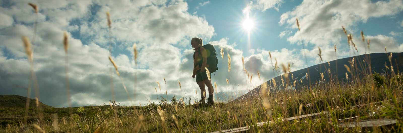
The Kungsleden trail
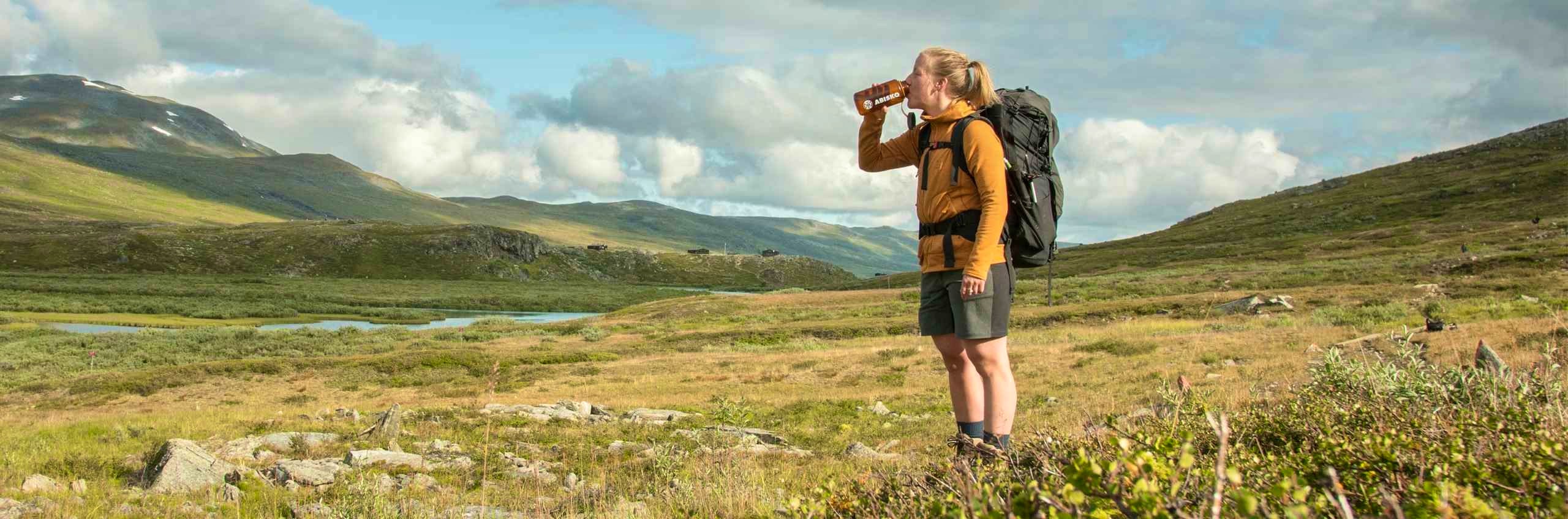
The Kungsleden Trail, the King's Trail, between Abisko and Hemavan is one of the world’s most famous – and perhaps finest – long-distance hiking routes. Stretching just over 450 kilometers, it was established by the Swedish Tourist Association (STF) in the early 20th century. The idea was for the trail to pass through the most beautiful areas the Swedish mountains had to offer, hence the name – the King of Trails. Since then, it has attracted hikers from all over the world.
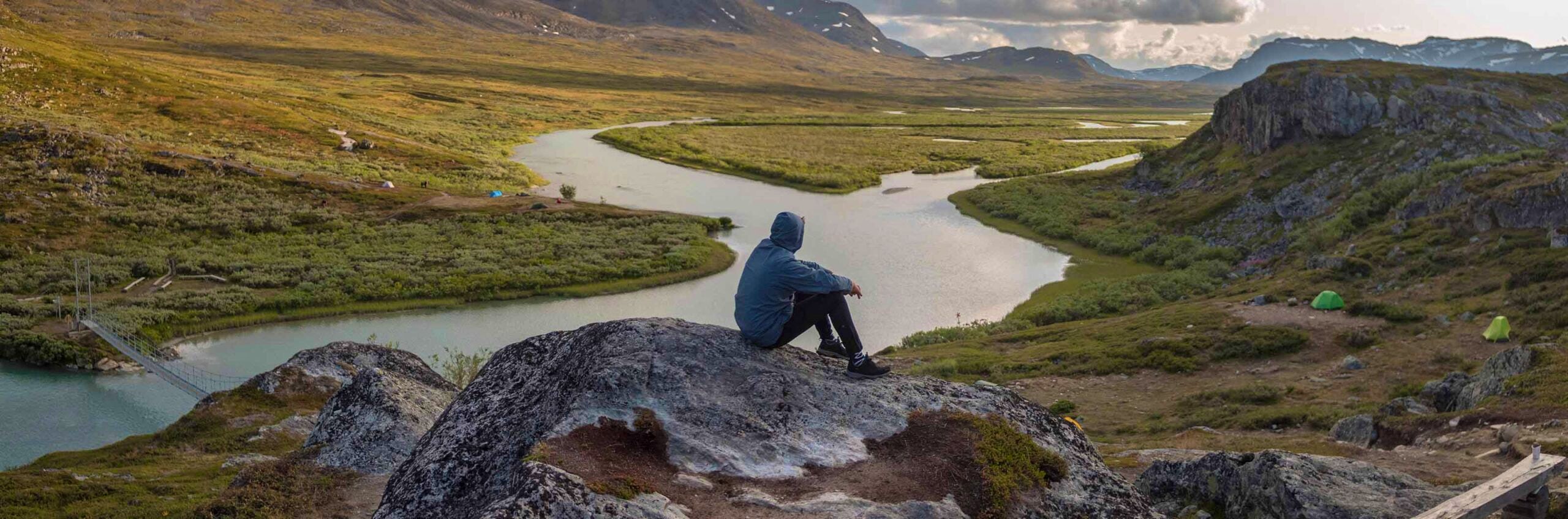
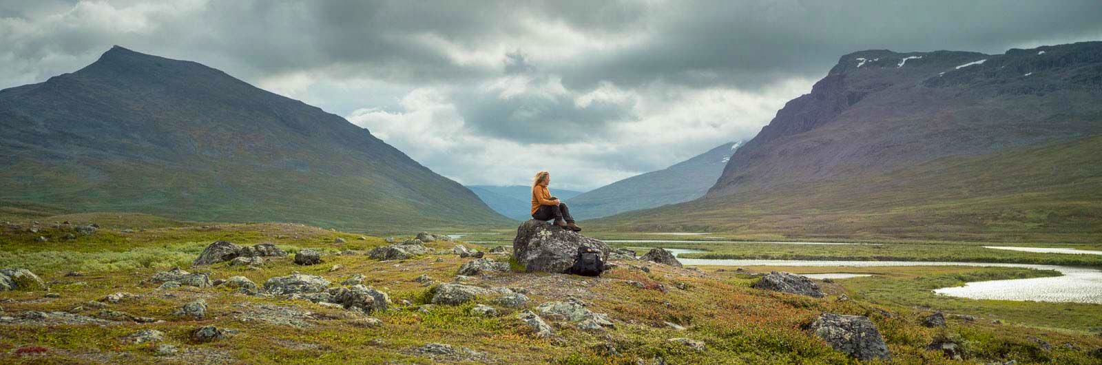
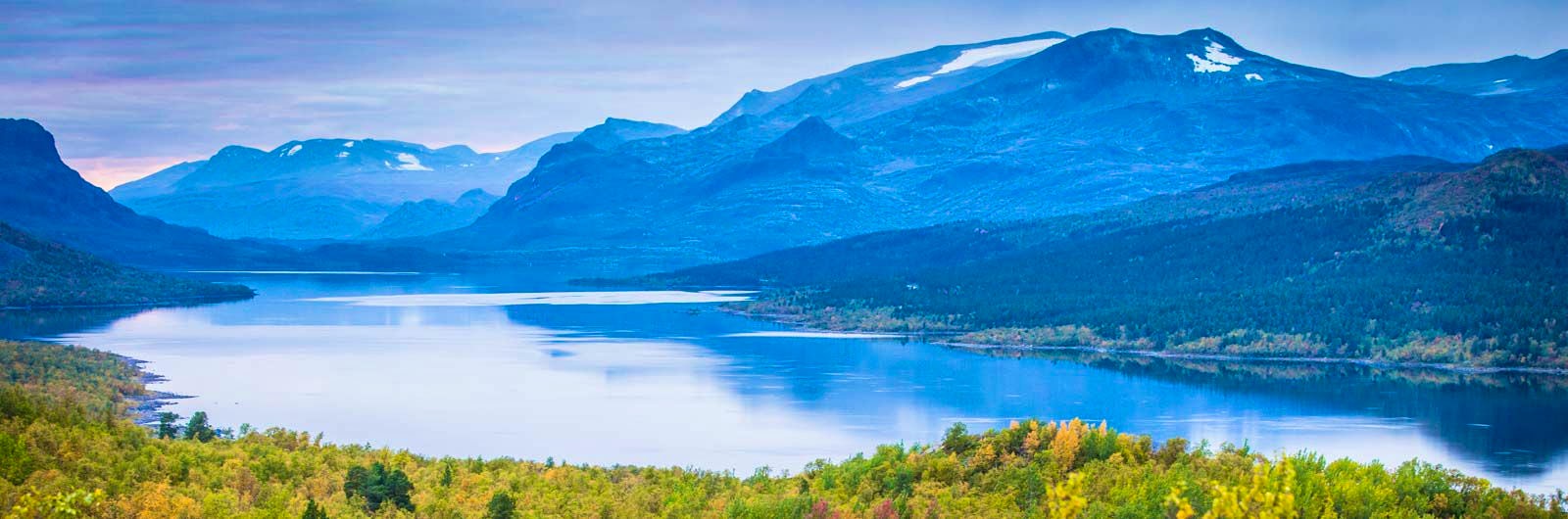
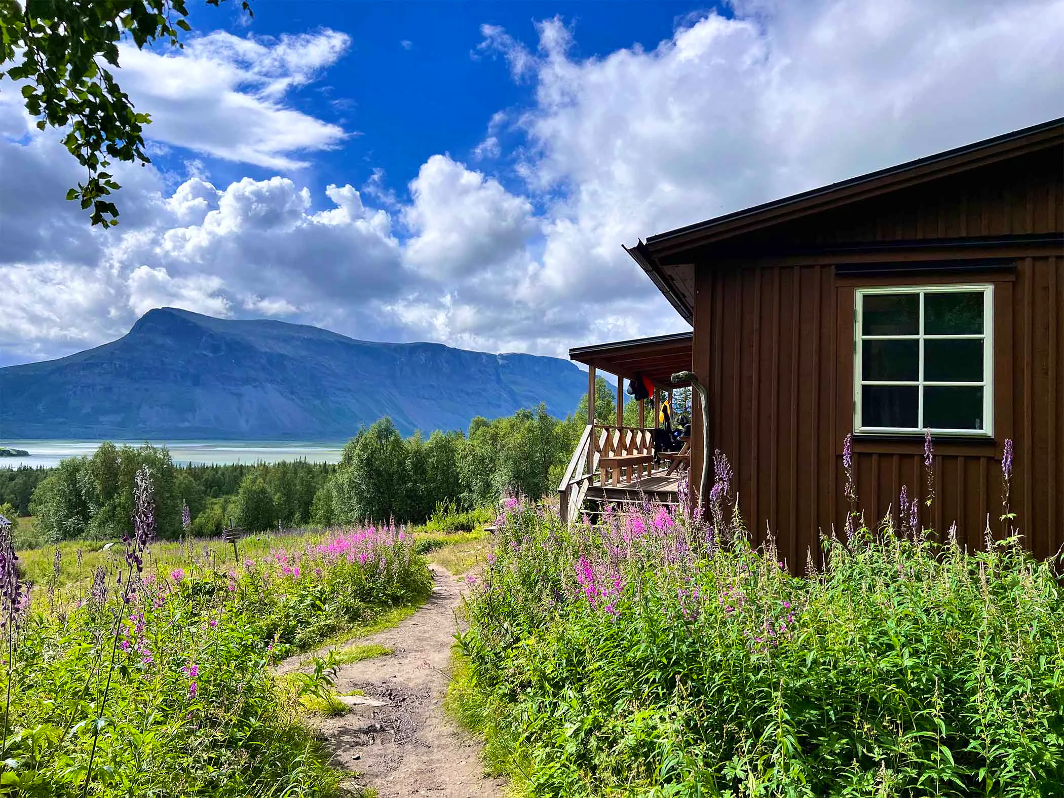
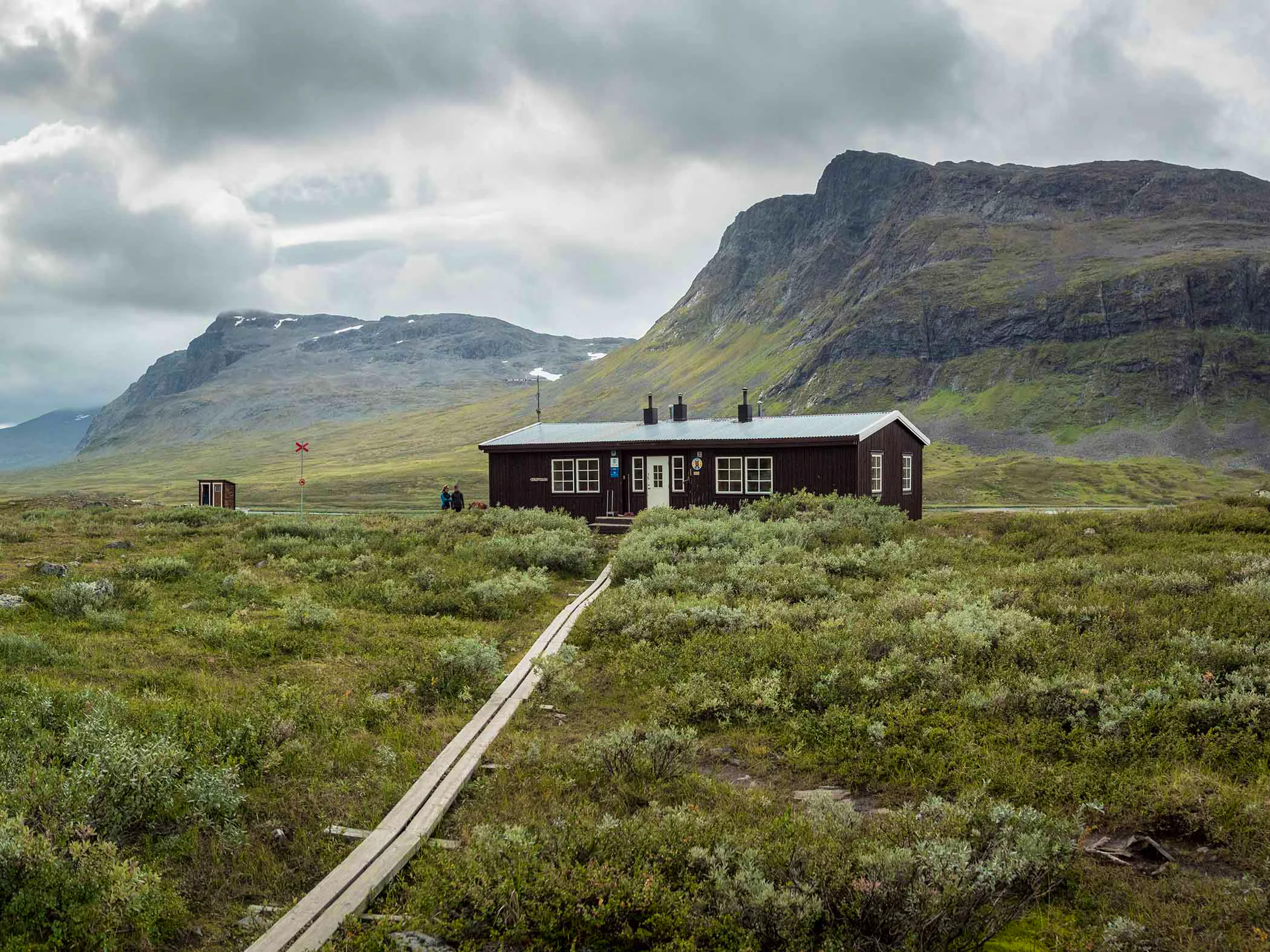
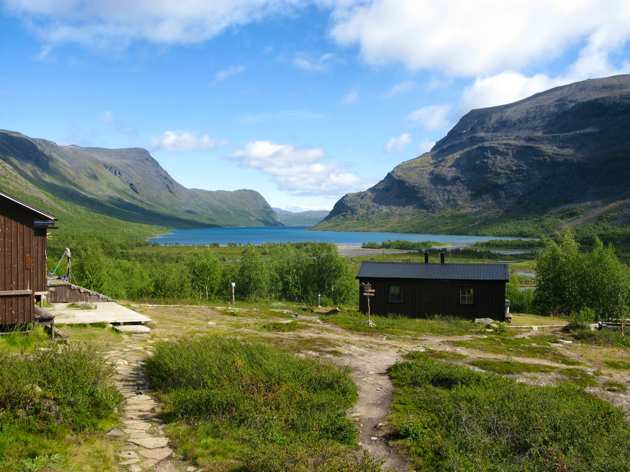
The King’s Trail runs through the varied mountain landscapes of Lapland, alternating between alpine terrain and mountain birch forests. The hike takes you across lush alpine heaths, past lakes, dramatic peaks, and small mountain villages. Kungsleden passes through four national parks – Abisko, Stora Sjöfallet, Sarek, and Pieljekaise – and is well marked, with bridges over difficult water crossings.
Along the Kungsleden, STF operates 16 mountain huts spaced 10–20 kilometers apart. Between Kvikkjokk and Ammarnäs there are no STF huts, but other accommodation is available in limited numbers. Common starting and ending points include Abisko, Vakkotavare, Saltoluokta, Kvikkjokk, Ammarnäs, and Hemavan. If you start in Nikkaluokta, you will reach Kungsleden after about two days of hiking.
Hikes along Kungsleden typically begin or end in Abisko, Saltoluokta, Kvikkjokk, Ammarnäs, Hemavan, or Nikkaluokta.
Learn more about how to avoid disturbing the reindeer.
Stages of Kungsleden – the King’s trail
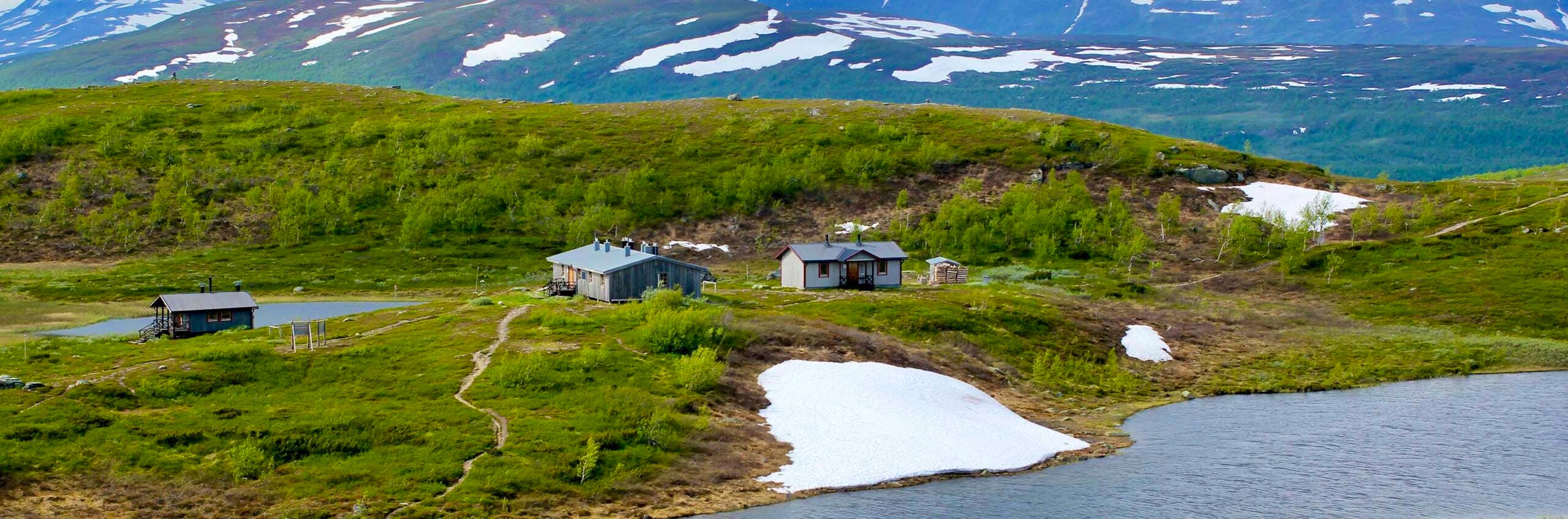
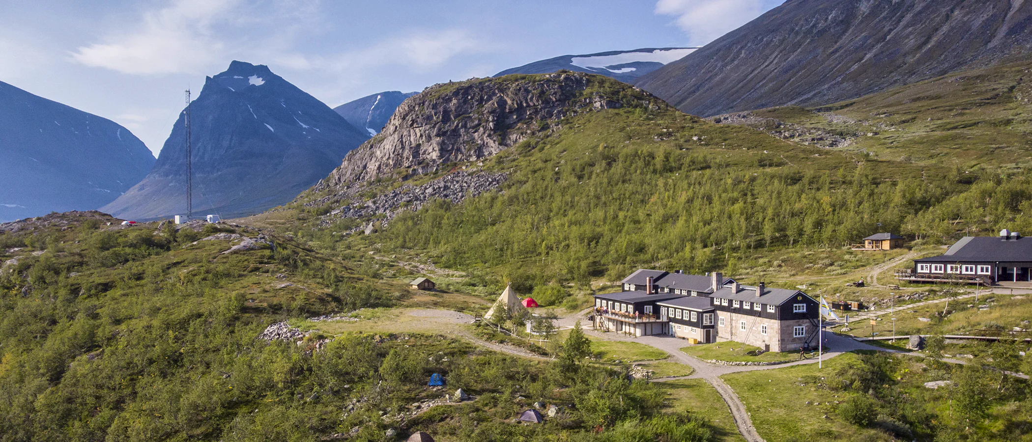
Accommodation along Kungsleden
A selection of accommodation along Kungsleden
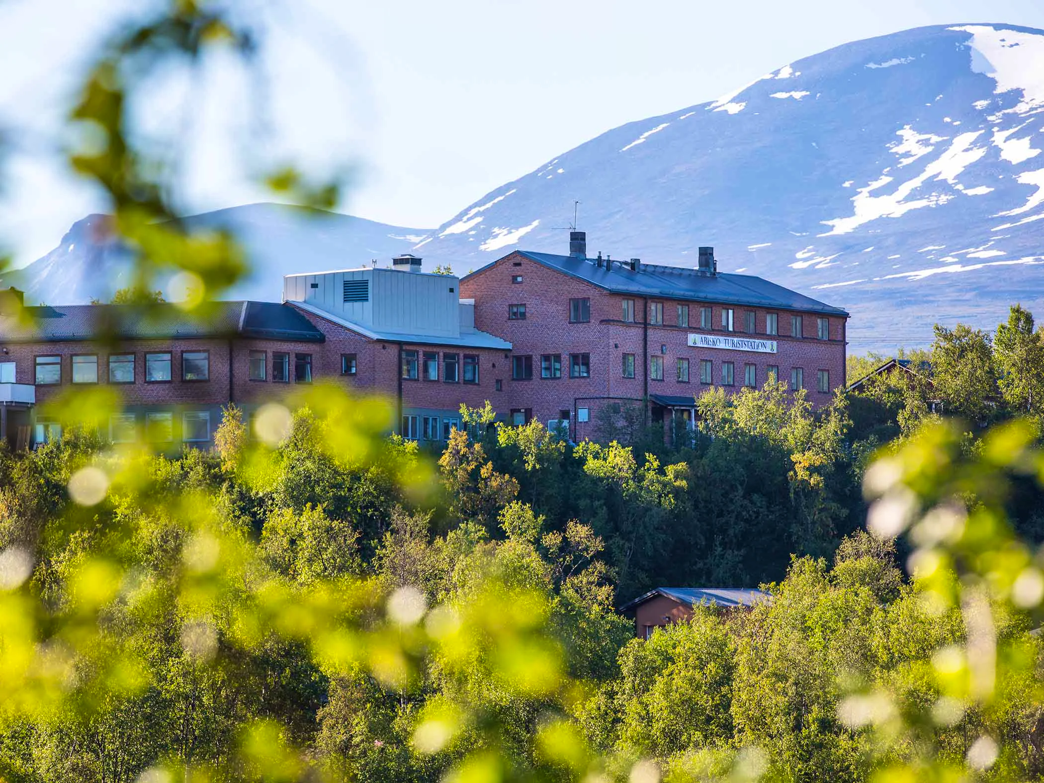
STF Kebnekaise Mountain station

STF Kvikkjokk Mountain station
STF Kaitumjaure Mountain cabin
Map of Kungsleden
Navigate past map or other external content.This map is a planning tool and should not replace a physical map and compass. The service “Naturkartan” (opens in new tab) is operated by a company called “Outdoor map”. Please note that trail information is owned and updated by the respective trail administrator (e.g. municipality or county administrative board).
More information
Further reading and links
County Administrative Board of Norrbotten (opens in new tab)
County Administrative Board of Västerbotten (opens in new tab)
Guidebooks
In the mountains: Kungsleden
By: Claes Grundsten, Norstedts
Find your next experience

Travel smarter
Do your part for the future – and your wallet – by choosing a more climate-smart way to travel with the help of our great member offers:
More hiking pages

Hiking
On this page you will find helpful tips and information for your hike.

Hiking trails in Sweden
On this page we present a selection of popular and high-quality trails across the country.

Mountain hiking
Discover hiking in the Swedish mountains, from day hikes to multi-day adventures.