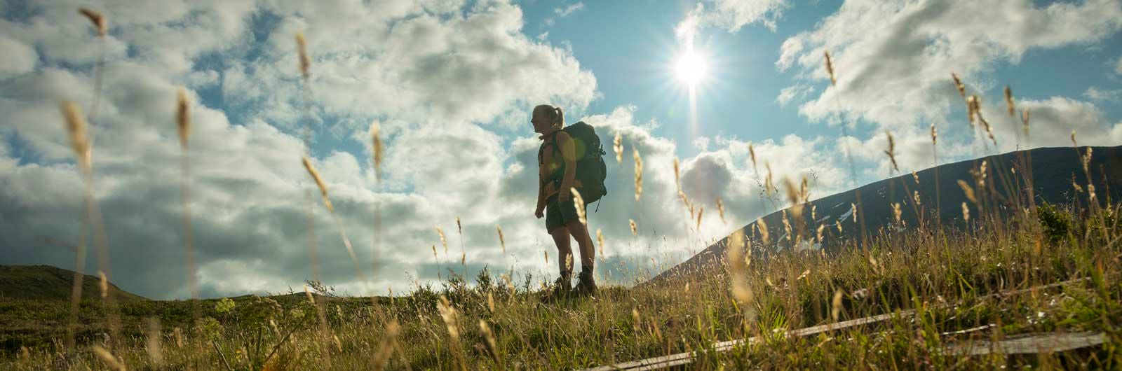
Kungsleden Ammarnäs–Hemavan
The southern end of the Kungsleden is Hemavan. From here, you hike through the Vindelfjällen Nature Reserve – a Lapland in miniature.
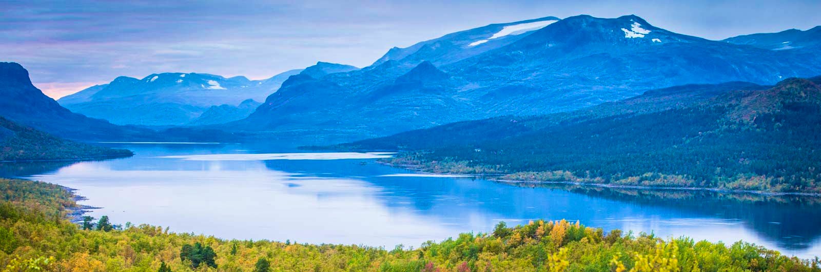
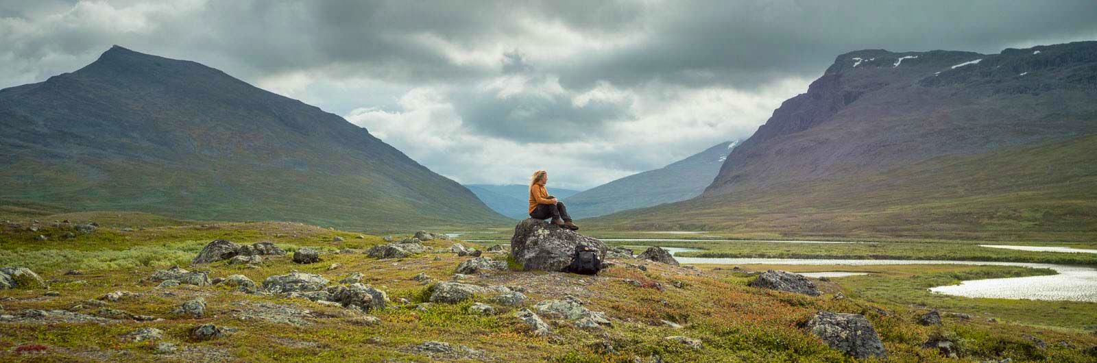
This is one of the most varied and magnificent sections of the Kungsleden. Here, the landscape is constantly changing: forests, vast wetlands, high mountain plateaus, and dramatic alpine peaks. The hike проходит through the Vindelfjällen Nature Reserve, one of Europe’s largest protected areas, created to preserve the South Sámi mountain landscape – where almost all types of mountain nature are represented. You stay in STF Mountain cabins along the route, most of which have small shops selling provisions.
The stretch between Ammarnäs and Hemavan is one of STF’s Signature Trails – a particularly scenic and quality-assured multi-day hike.
Learn more about how to avoid disturbing the reindeer.

Ammarnäs–Hemavan in short
Getting to the trail
Take the train to Vännäs, then continue by bus to Ammarnäs.
Always search for your journey from your departure point to your final destination. This way, you’ll find departures that connect across different modes of transport, both train and bus. You will also have a travel guarantee, so any delays will not affect your ability to reach your destination.
Don’t miss
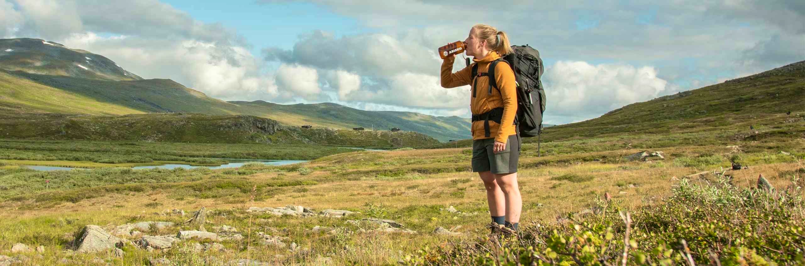
Visit the Naturum visitor centre in Hemavan, go fishing in Lake Tärnasjön, or pick berries and mushrooms along the trail. You’ll pass the highest peak in the Vindelfjällen area – the elegant Norra Sytertoppen at 1,768 meters above sea level. Add an extra day and climb it! Birdlife is abundant in Vindelfjällen, so bring a lightweight bird guide if you’re not already an expert. At STF Tärnasjö Mountain cabin, there is a sauna by the lake. End your fishing or hiking day with a refreshing dip – step out of the hot sauna and plunge into the cold mountain water.
Map of Kungsleden Hemavan-Ammarnäs
Navigate past map or other external content.This map is a planning tool and should not replace a physical map and compass. The service “Naturkartan” (opens in new tab) is operated by a company called “Outdoor map”. Please note that trail information is owned and updated by the respective trail administrator (e.g. municipality or county administrative board).
Stages Ammarnäs–Hemavan
Stage 1: Ammarnäs–Aigert
Tip! Stay your first night at STF Ammarnäs Wärdshus hotel and hostel
8 km, 2–3 hours of hiking
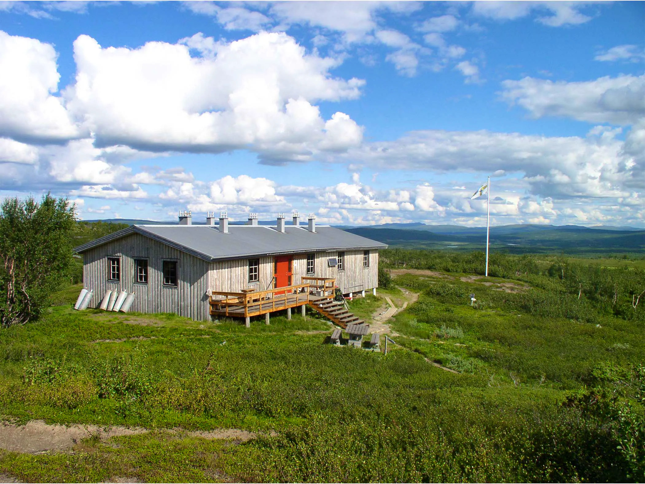
Accommodation: STF Aigert Mountain cabin
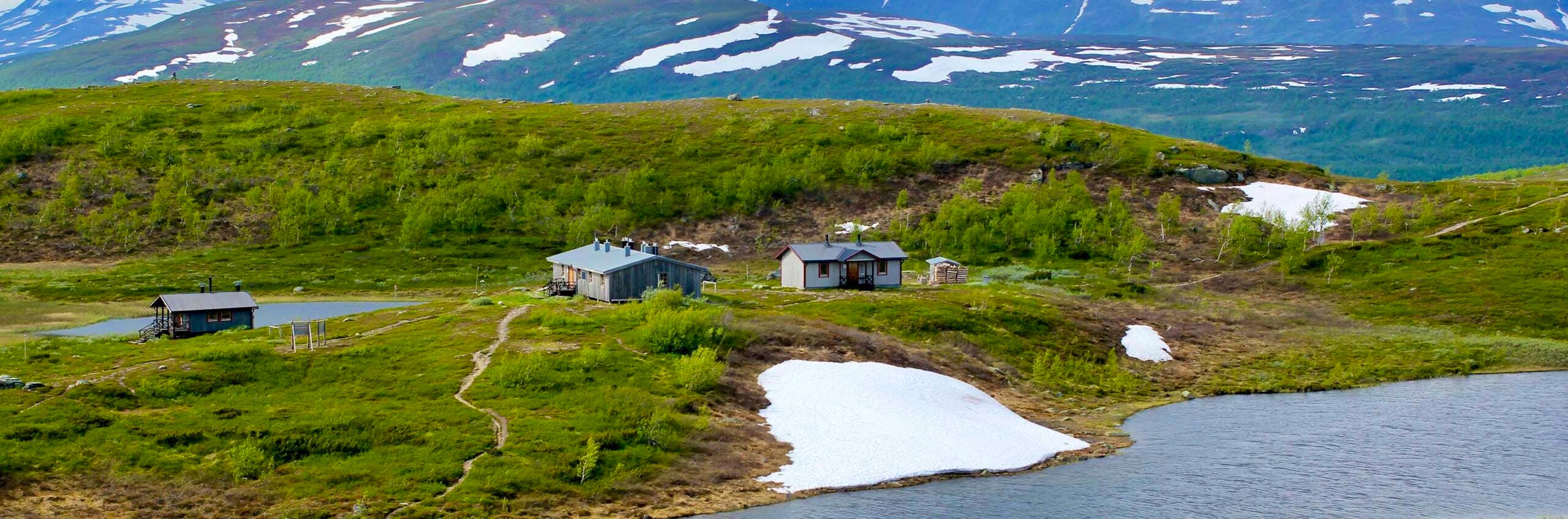
The first stage is short, only eight kilometers. You start in the village of Ammarnäs at the bridge over the Vindel River and begin with a gentle uphill hike through mountain birch forest. About halfway up to the open mountain, the summer trail turns westward with beautiful views over the Ammarnäs delta – considered by many to be one of the finest views along the entire Kungsleden. You then continue up onto the open mountain until you reach STF Aigert Mountain cabin, located on a hill next to a small lake. Water can be collected along the trail. Mountain shop with a Large selection. If you want to camp, there are good spots opposite the cabin, on the other side of the lake.
Stage 2: Aigert–Serve
19 km, 5–7 hours of hiking
Accommodation: STF Serve Mountain cabin
From Aigert Mountain cabin, follow the stream up towards Lill-Aigert. Here, you’ll have a dramatic view down towards Lake Tjulträsket. The trail continues across low mountain terrain to the highest point of the stage at Juovvatjåhkka, where there is a shelter. In good weather, you can take a detour from here to the summit of Stor-Aigert.
The descent towards the following plateau is quite steep, before climbing again towards Vuomatjhkkas shelter. The stage ends with a long descent through birch forest. After a few kilometers, you cross the bridge over Servvejuhkka with its impressive waterfall before reaching STF Serve Mountain cabin. Good camping spots can be found just west of Serve and near Servvejuhkka. There is no shop here, so you need to carry your own food.
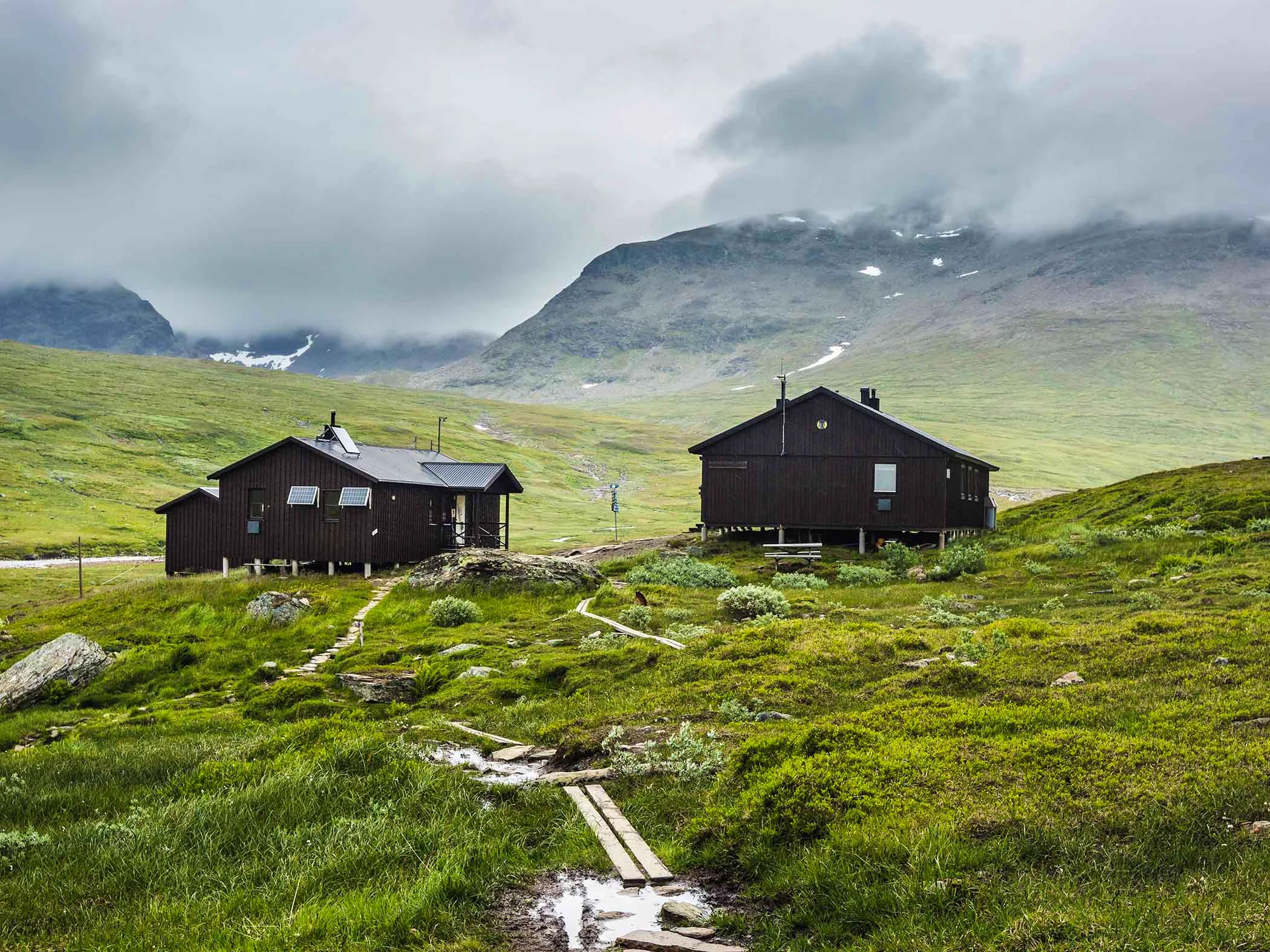
Stage 3: Serve–Tärnasjö
14 km, 4–5 hours of hiking
Accommodation: STF Tärnasjö Mountain cabin
The trail begins in sparse birch forest and then climbs onto the open mountain. About halfway, you pass the highest point of the stage at around 900 meters above sea level. The trail then continues across flatter terrain, partly consisting of wetlands.
You follow a winding valley between low mountains, with several small lakes along the way. After a couple of lower passes, you gradually descend back into birch forest. The stage ends with a long downhill section before reaching STF Tärnasjö Mountain cabin.
Lake Tärnasjön lies nearby and invites you to swim or fish. The eastern slopes near the cabin are also worth a visit for those interested in botany, with rare grasses and sedges.
Stage 4: Tärnasjö–Syter
14 km, 4–5 hours of hiking
Accommodation: STF Syter Mountain cabin
From Tärnasjö Mountain cabin, you hike through birch forest along the eastern side of Lake Tärnasjön and across boardwalked wetlands. The southern part of the lake forms an archipelago with hundreds of small islets, which you cross via seven bridges. Tärnasjön is also home to many water birds.
From the last bridge, it is 4 km to STF Syter. The trail climbs steeply through birch forest before leveling out. Here, you’ll see Norra Sytertoppen rising to 1,768 meters above sea level.
Stage 5: Syter–Viterskalet
12 km, 3–4 hours of hiking
Accommodation: STF Viterskalet Mountain cabin
You cross the Svärfarbäcken stream via a bridge just west of Syter Mountain cabin. The hike begins with a steep ascent over Sjul-Olsaxeln, an offshoot of Norra Storfjället. The trail then descends towards a junction – choose the route towards Syterskalet. For many, this lush valley, nestled between steep cliffs, is one of the highlights of Vindelfjällen. Reindeer herds often graze here, so show consideration.
As you reach the western end of the valley, the trail follows Syterbäcken southwards to STF Viterskalet Mountain cabin. There is also an alternative route from Syter via Norra Sytertoppen (1,768 meters above sea level). This option requires solid hiking experience and good weather conditions.
Stage 6: Viterskalet–Hemavan
10 km, 3–4 hours of hiking
Accommodation: STF Hemavan Fjällcenter and STF Hemavan Mountain station
You leave Viterskalet and head southwest between Västra Syterbäcken and the long ridge of Södra Sytertoppen. The trail begins flat across open mountain terrain alongside the flowing stream. Be aware that reindeer herding takes place in this area and requires consideration.
After a few kilometers, the trail climbs gently and traverses towards the Hemavan ski area. From here, there are several route options. Most hikers choose the longer route that ends at Hemavan Naturum – the southern gateway to the Kungsleden.
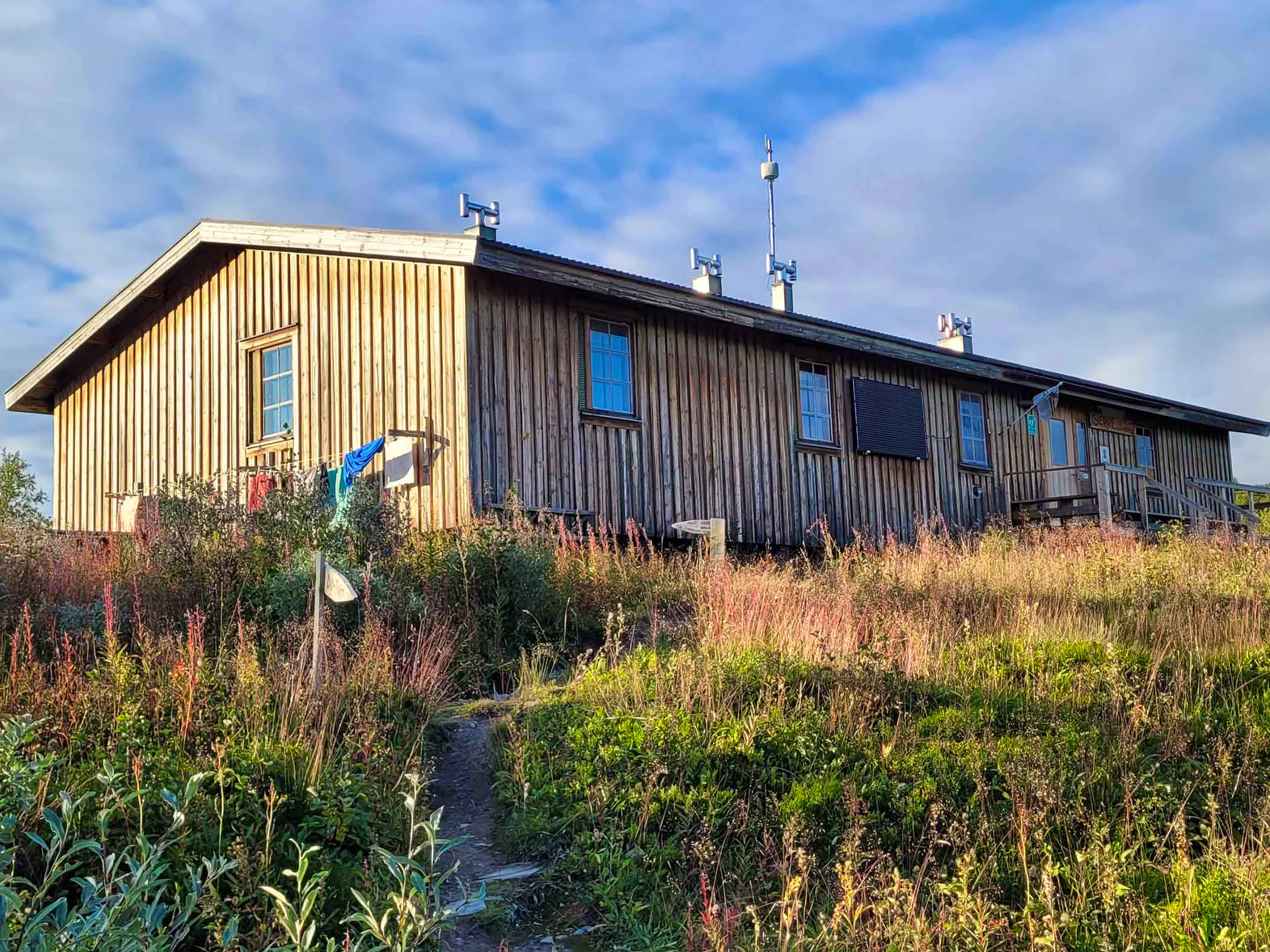
Accommodations along the trail
STF Viterskalet Mountain cabin

STF Ammarnäs Wärdshus
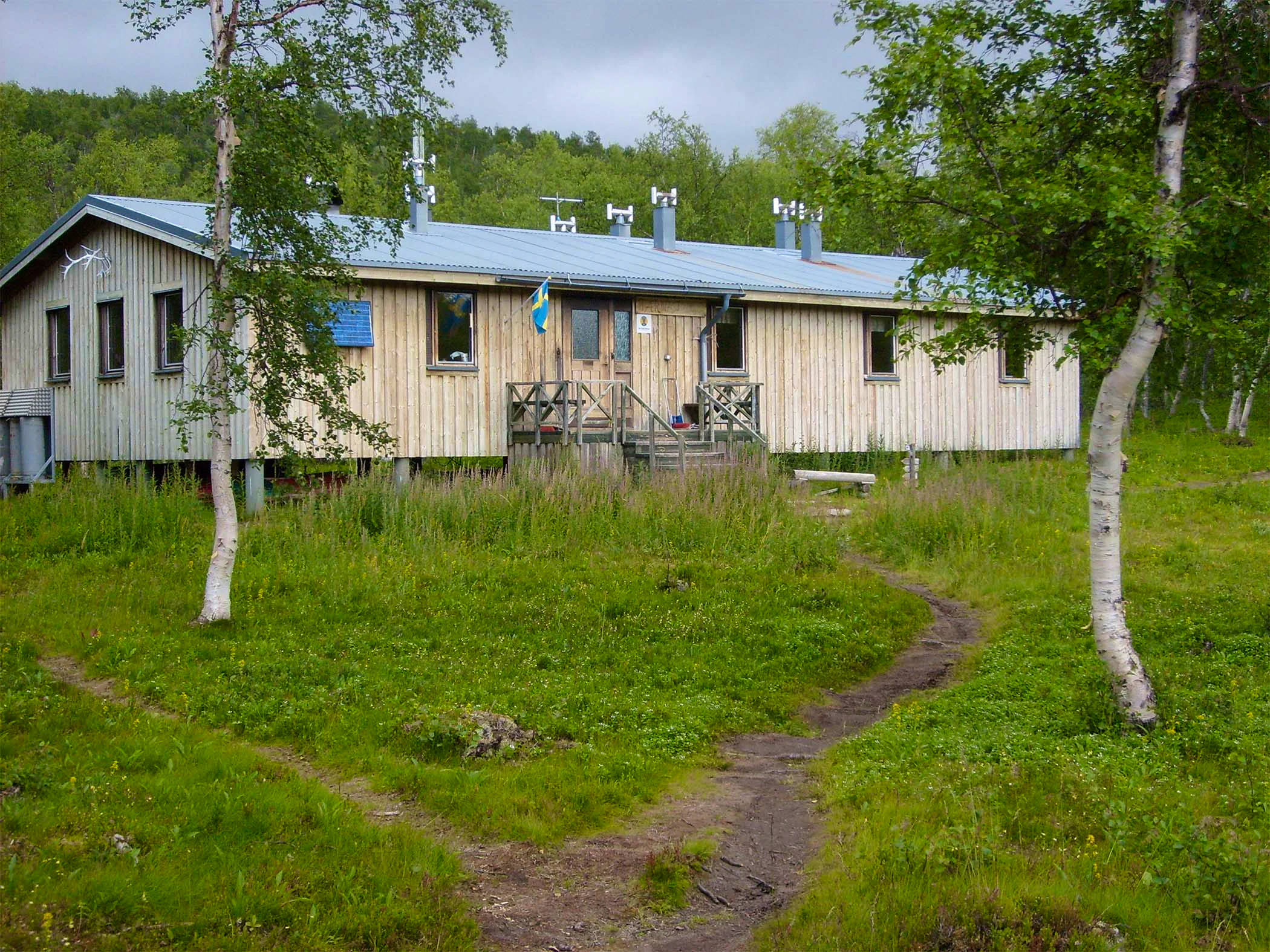
STF Tärnasjö Mountain cabin

STF Hemavan Mountain station
STF Serve Mountain cabin
STF Hemavans Fjällcenter
STF Syter Mountain cabin

STF Aigert Mountain cabin
Trail markings
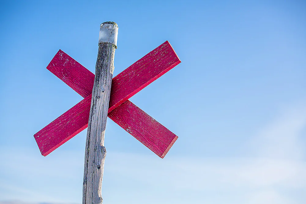
Check the trail markings before you set out. Winter trails are marked with crosses, while summer trails are marked with painted poles, stones, or trees. Winter trails can be difficult to follow in summer, so use a map and trail signs to navigate.
Read more about the trail systemVisitor calendar
Do you prefer a quieter experience in the mountains? Our visitor calendar gives you an overview of typical occupancy levels in this mountain area, helping you plan your trip during less busy periods. During quieter times, we also often offer better prices. Please note that the visitor calendar is only an indication and does not account for variations due to events or holidays.
Week |
24 |
25 |
26 |
27 |
28 |
29 |
30 |
31 |
32 |
33 |
34 |
35 |
36 |
37 |
38 |
39 |
|---|---|---|---|---|---|---|---|---|---|---|---|---|---|---|---|---|
Hemavan |
Few visitors |
Few visitors |
Few visitors |
Few visitors |
More visitors |
More visitors |
More visitors |
More visitors |
More visitors |
More visitors |
Few visitors |
Few visitors |
Few visitors |
Few visitors |
Few visitors |
Few visitors |
Viterskalet |
Closed |
Few visitors |
Few visitors |
Few visitors |
Most visitors |
Most visitors |
Most visitors |
Most visitors |
More visitors |
More visitors |
Few visitors |
Few visitors |
Few visitors |
Few visitors |
Few visitors |
Closed |
Aigert |
Closed |
Few visitors |
Few visitors |
Few visitors |
Most visitors |
Most visitors |
Most visitors |
Most visitors |
More visitors |
More visitors |
Few visitors |
Few visitors |
Few visitors |
Few visitors |
Few visitors |
Closed |
Syter |
Closed |
Few visitors |
Few visitors |
Few visitors |
Most visitors |
Most visitors |
Most visitors |
Most visitors |
More visitors |
More visitors |
Few visitors |
Few visitors |
Few visitors |
Few visitors |
Few visitors |
Closed |
Tärnasjö |
Closed |
Few visitors |
Few visitors |
Few visitors |
Most visitors |
Most visitors |
Most visitors |
Most visitors |
More visitors |
More visitors |
Few visitors |
Few visitors |
Few visitors |
Few visitors |
Few visitors |
Closed |
Serve |
Closed |
Few visitors |
Few visitors |
Few visitors |
Most visitors |
Most visitors |
Most visitors |
Most visitors |
More visitors |
More visitors |
Few visitors |
Few visitors |
Few visitors |
Few visitors |
Few visitors |
Closed |
Read more about Kungsleden
Kungsleden Saltoluokta – Kvikkjokk
The stretch between Saltoluokta and Kvikkjokk is just over 70 km and offers striking contrasts.
Kungsleden Nikkaluokta – Saltoluokta
Experience one of Sweden’s most classic mountain hikes on the Kungsleden between Nikkaluokta and Saltoluokta.
Kungsleden Kvikkjokk – Ammarnäs
The stretch between Kvikkjokk and Ammarnäs is the least hiked part of the King’s Trail (Kungsleden) and offers a calm and magnificent experience.
Kungsleden Ammarnäs–Hemavan
The southern end of the Kungsleden is Hemavan. From here, you hike through the Vindelfjällen Nature Reserve – a Lapland in miniature.
Kungsleden Abisko–Nikkaluokta
This section describes the northern part of the 450 km-long Kungsleden, from Abisko to Nikkaluokta. A hike of 5–7 days.
Kungsleden
The Kungsleden Trail, the King’s Trail, between Abisko and Hemavan is one of the world’s most famous – and perhaps finest – long-distance hiking routes.