
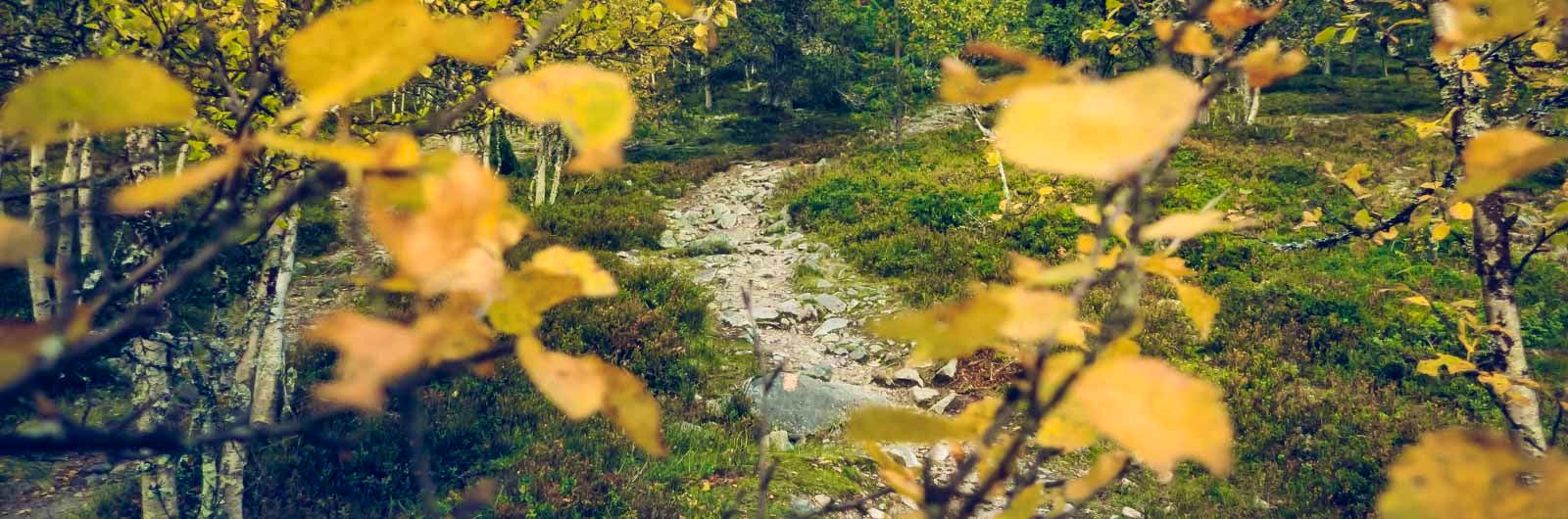
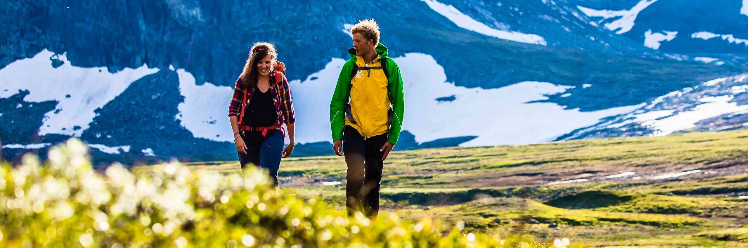
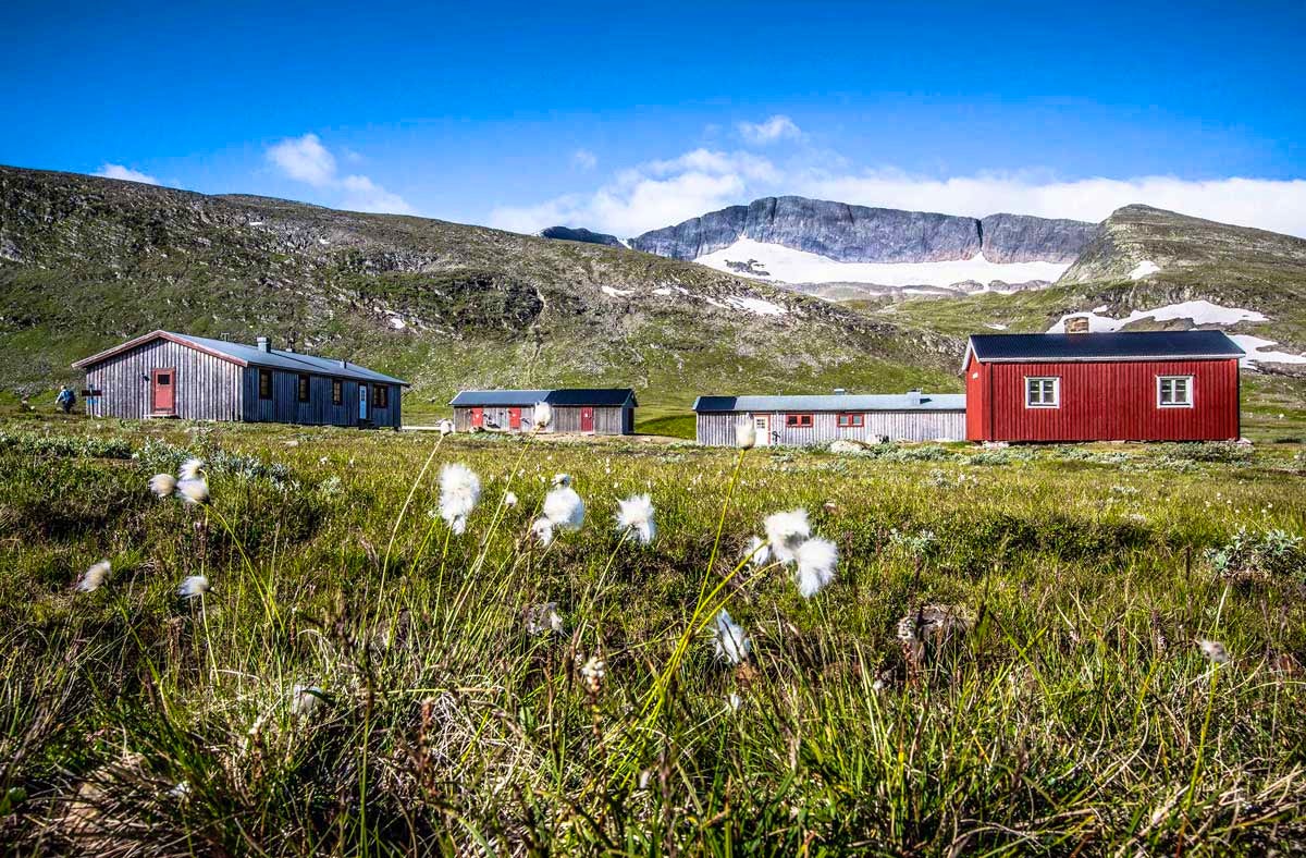
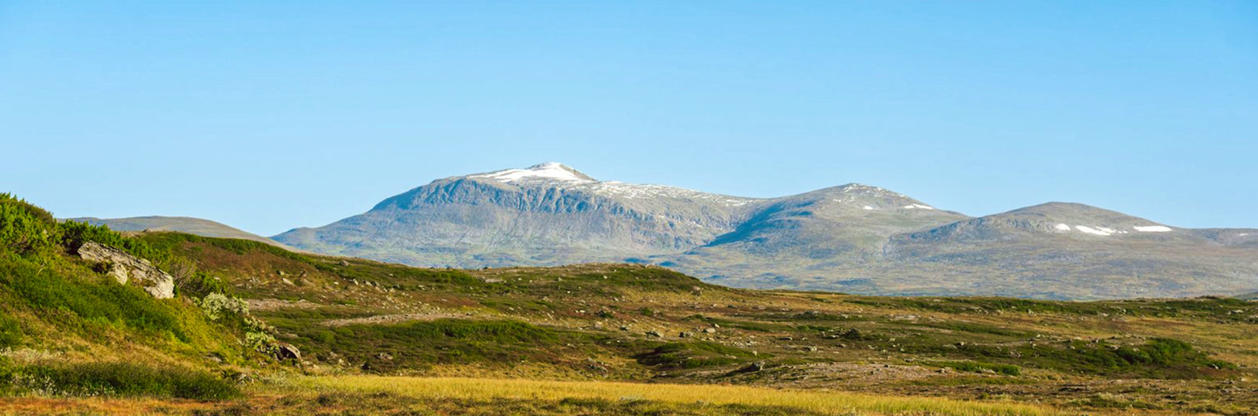
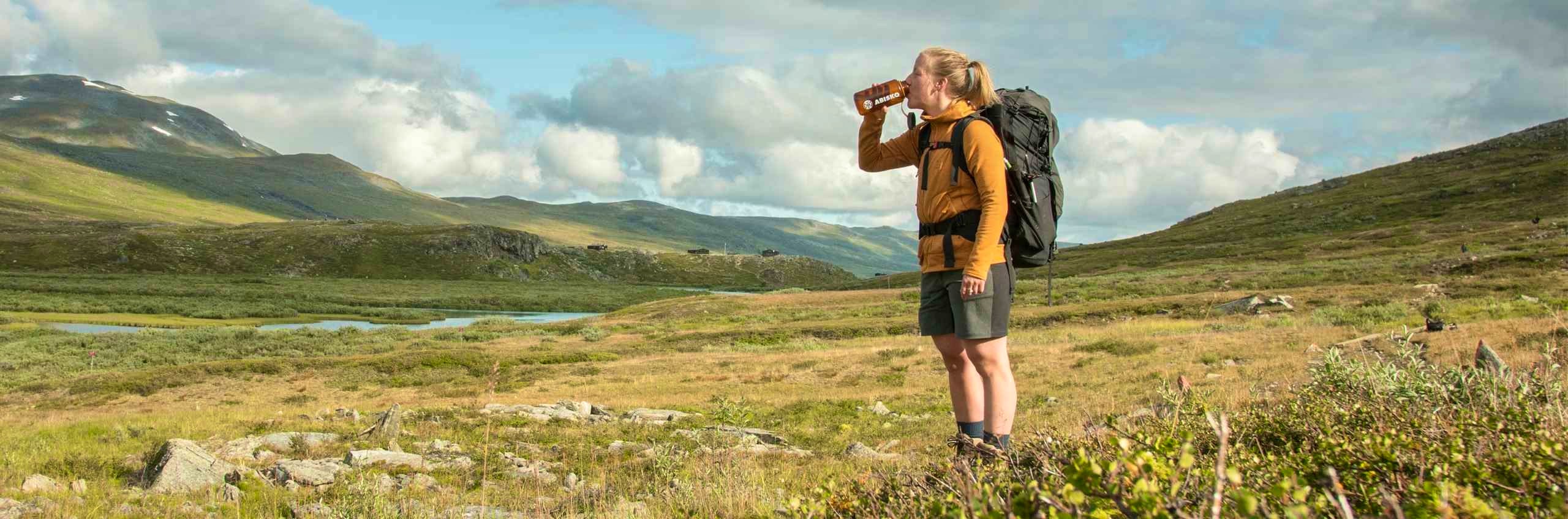
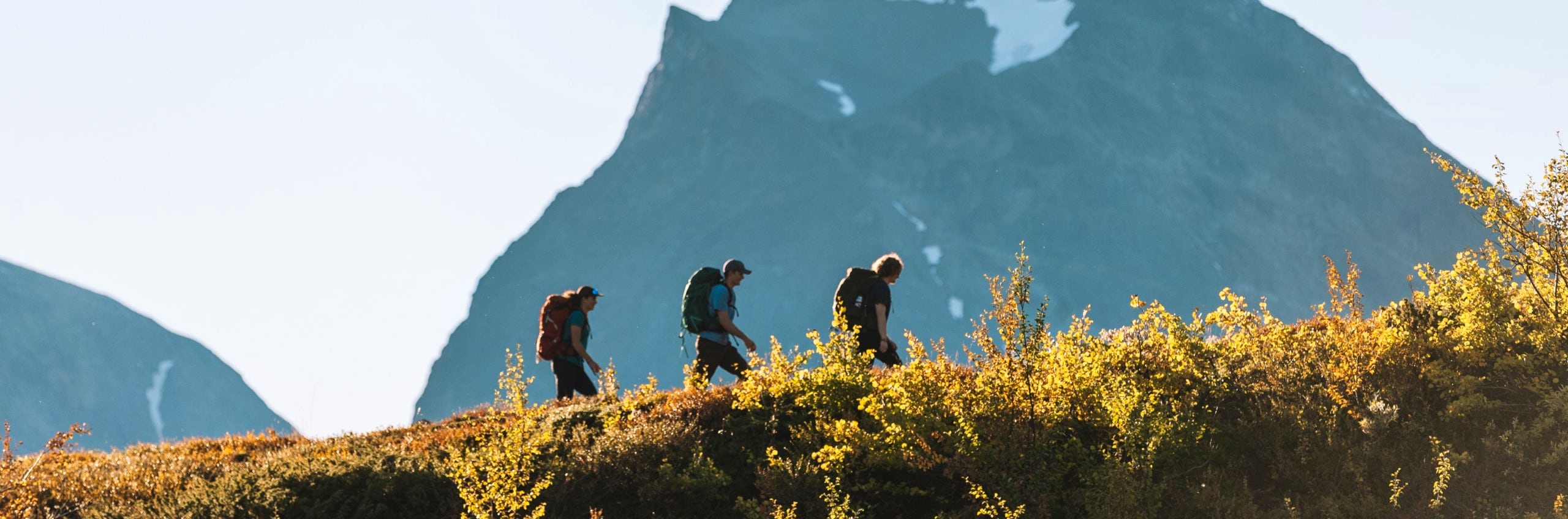
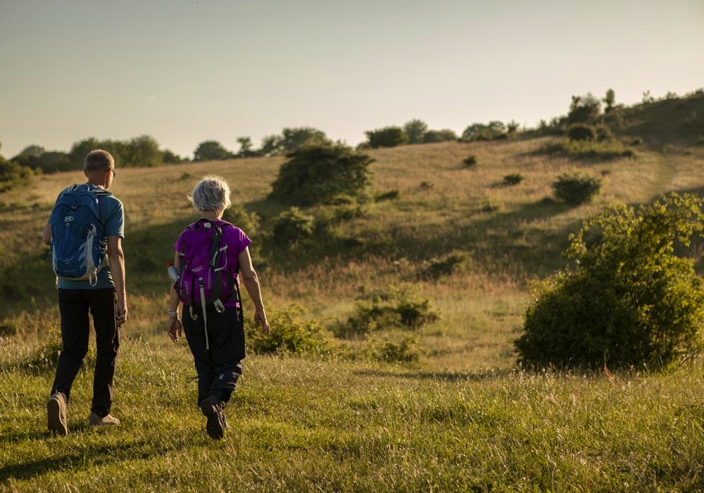
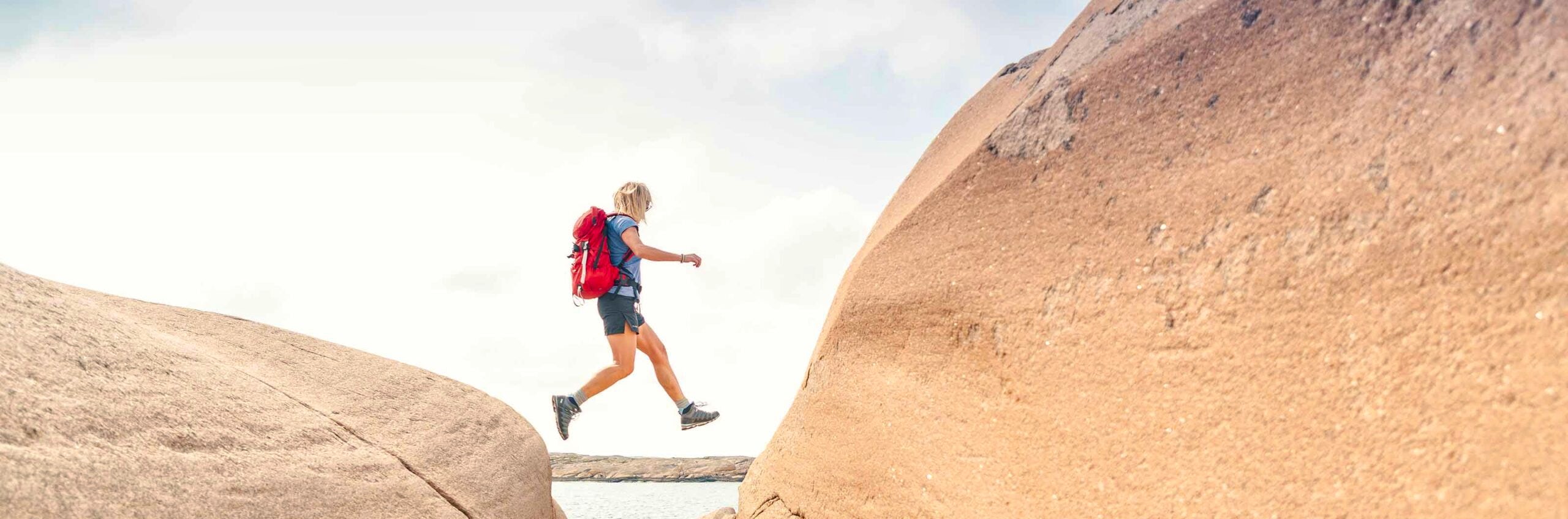
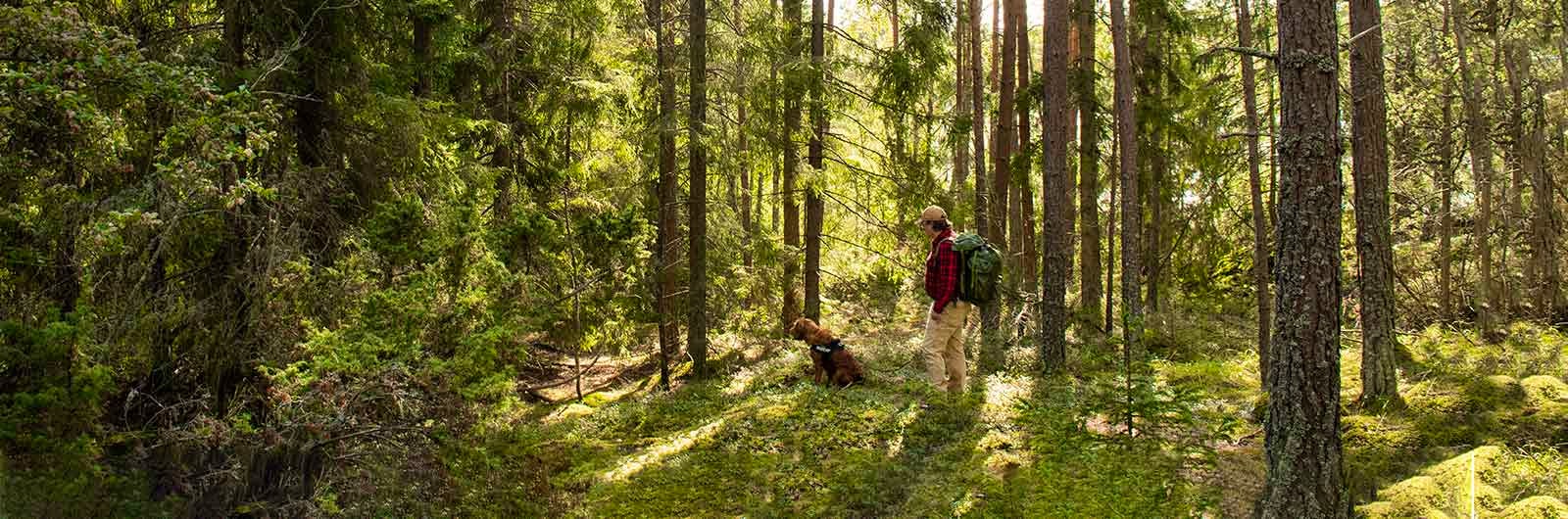
Hiking trails in Sweden
Sweden offers a wide range of trails, ready for you to discover. On this page we present a selection of popular and high-quality trails across the country.
We have chosen to focus on hiking trails in the mountains as well as our specially selected Signature trails. If you are looking for hiking on other trails, you will find tips at the bottom of this page.
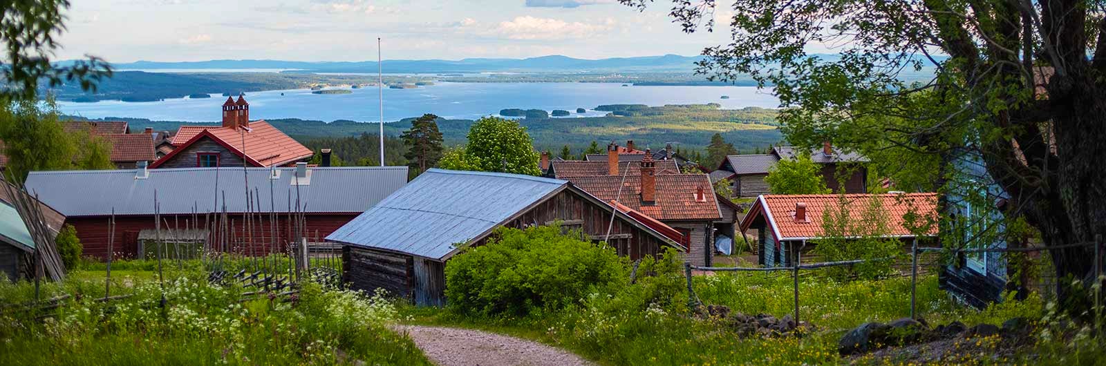
Hike in Dalarna

The Femundsmarka trail
The mountains | Grövelsjön | 46 km | 2 days

The Långfjället trail
The mountains | Grövelsjön | 32 km | 3 days
Grövelsjön – Tänndalen
The mountains | Grövelsjön | 76 km | 4 days
Fulufjället
The mountains | Fulufjället | 2-24 km | 1-2 days
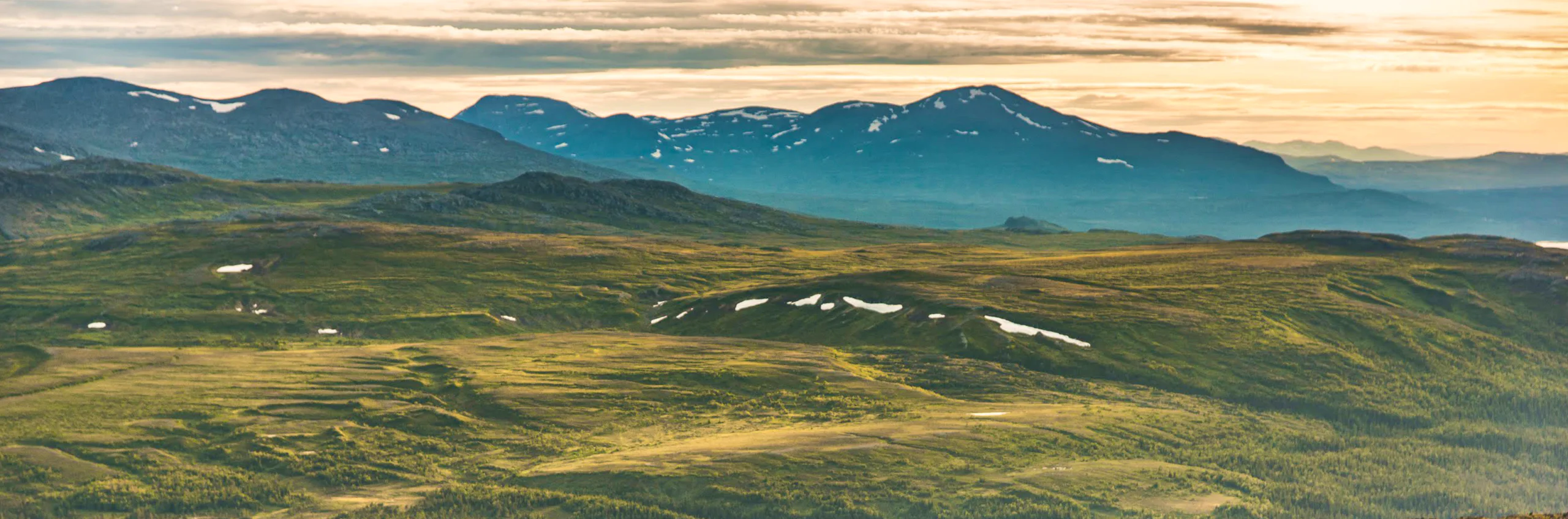
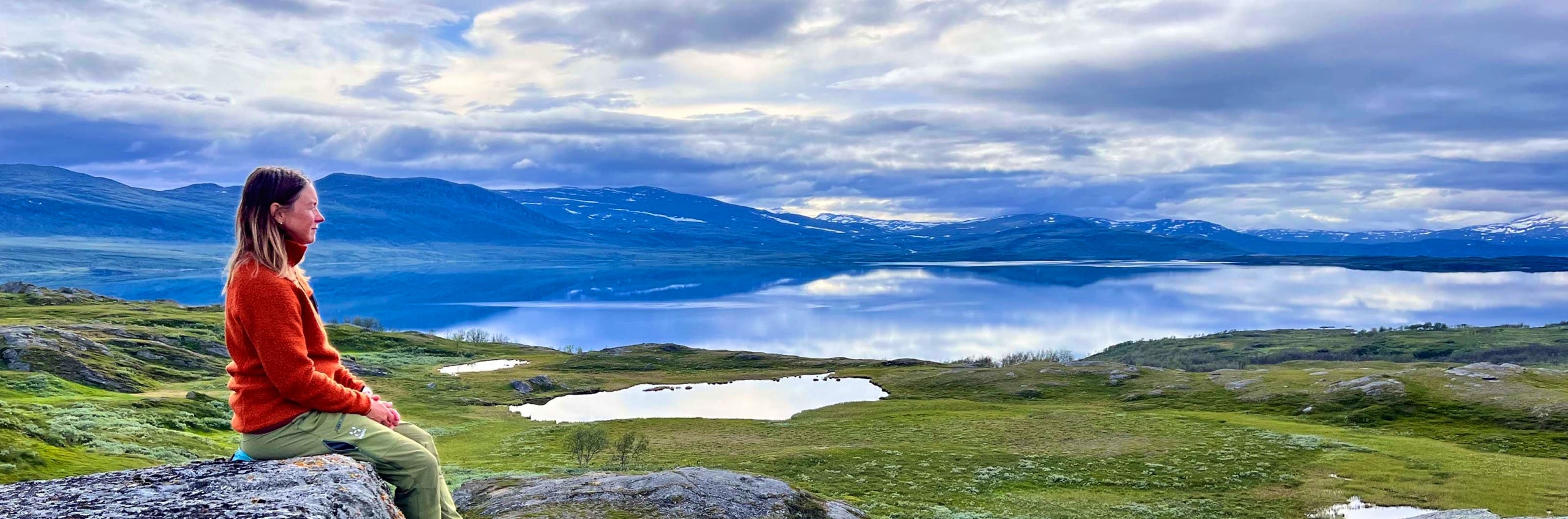
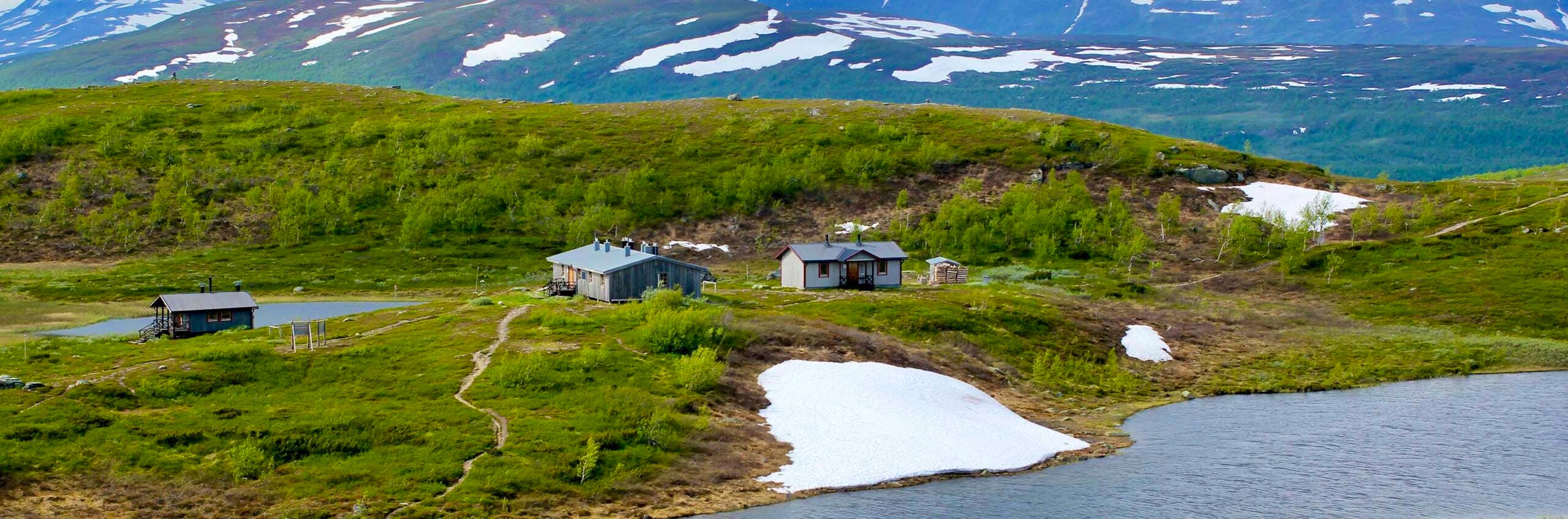
Hike in Jämtland and Härjedalen
The Jämtland triangle
The mountains | Storulvån | 47 km | 3 days
The Sylarna circuit
The mountains | Sylarna | 93 km | 5 days
Storulvån – Vålådalen
The mountains | Storulvån | 78 km | 4 days
Sylarna – Helags
The mountains | Sylarna | 19 km | 1 day
Storulvån – Ljungdalen
The mountains | Storulvån | 47 km | 3 days
The Vålådalen trail
The mountains | Vålådalen | 55 km | 4 days
Storulvån – Ramundberget
The mountains | Storulvån | 63 km | 4 days
Vålådalen – Ljungdalen
The mountains | Vålådalen | 55 km | 3 days
The S:t Olavsleden trail
The mountains/Forest | Selånger | 580 km | 25-30 days
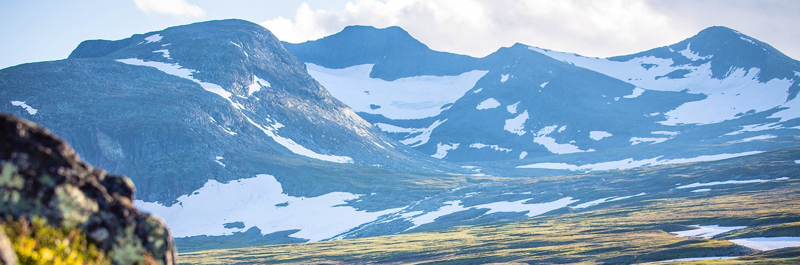
Jämtland/Härjedalen Mountains
Area description of Jämtland and Härjedalsfjällen
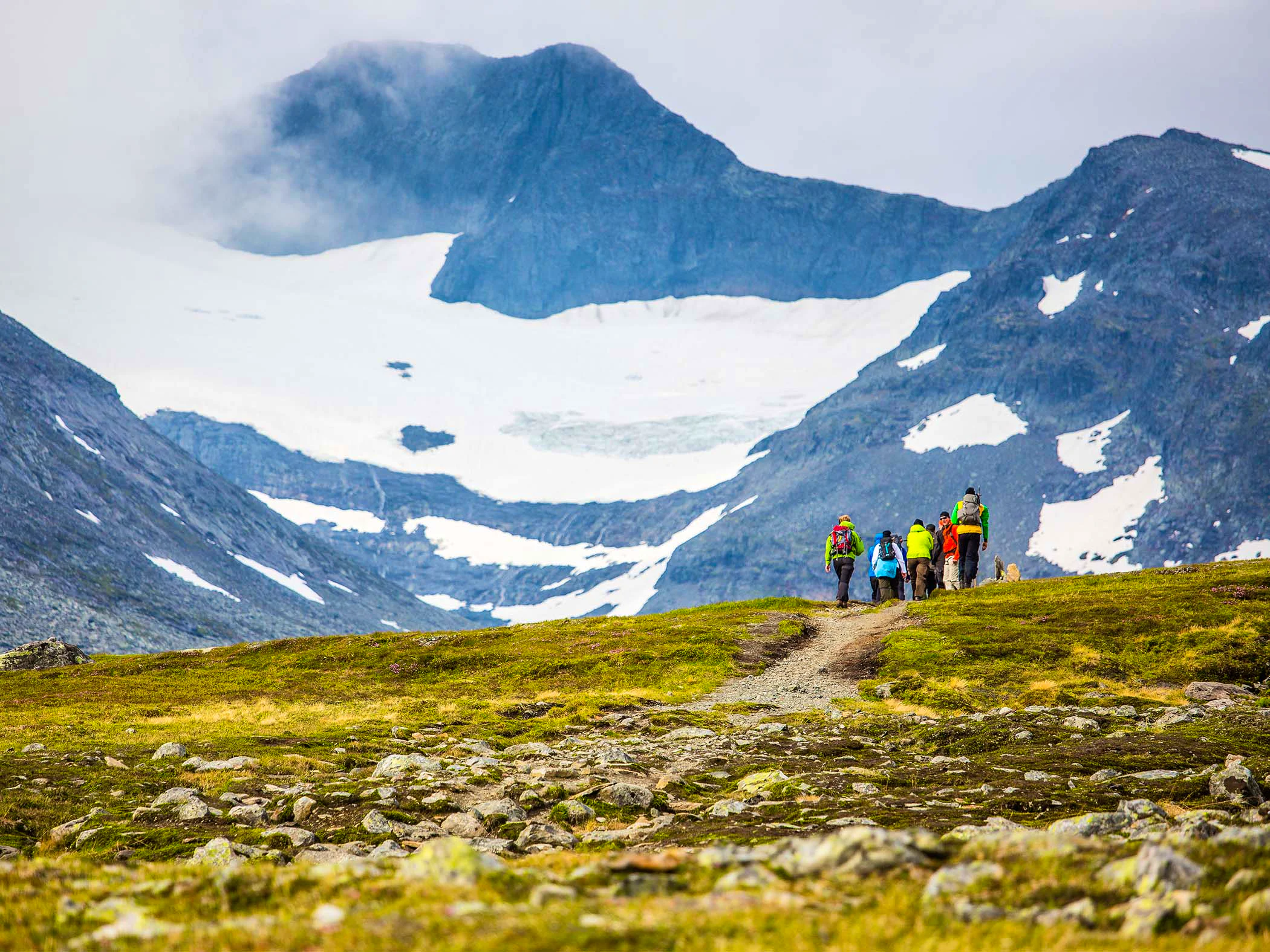
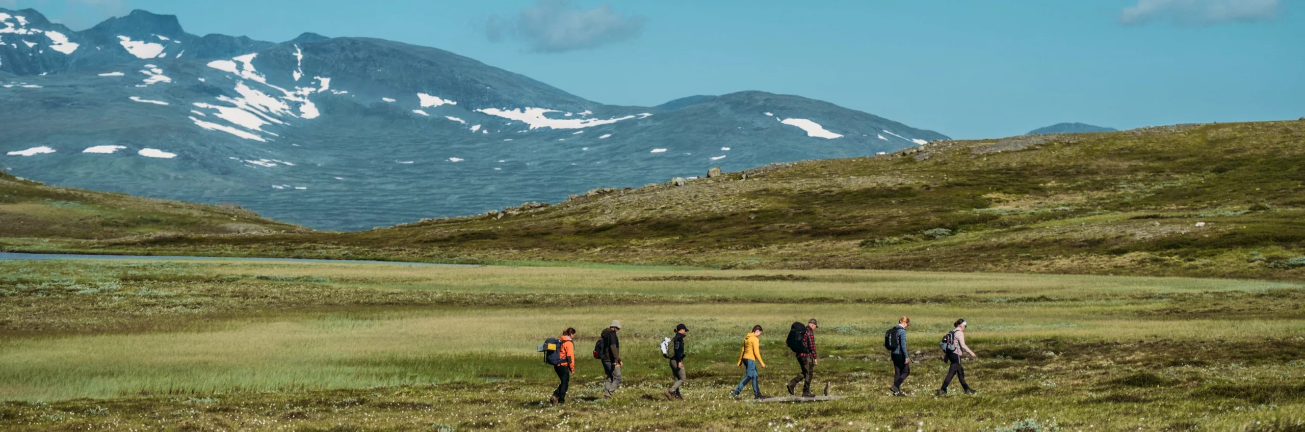
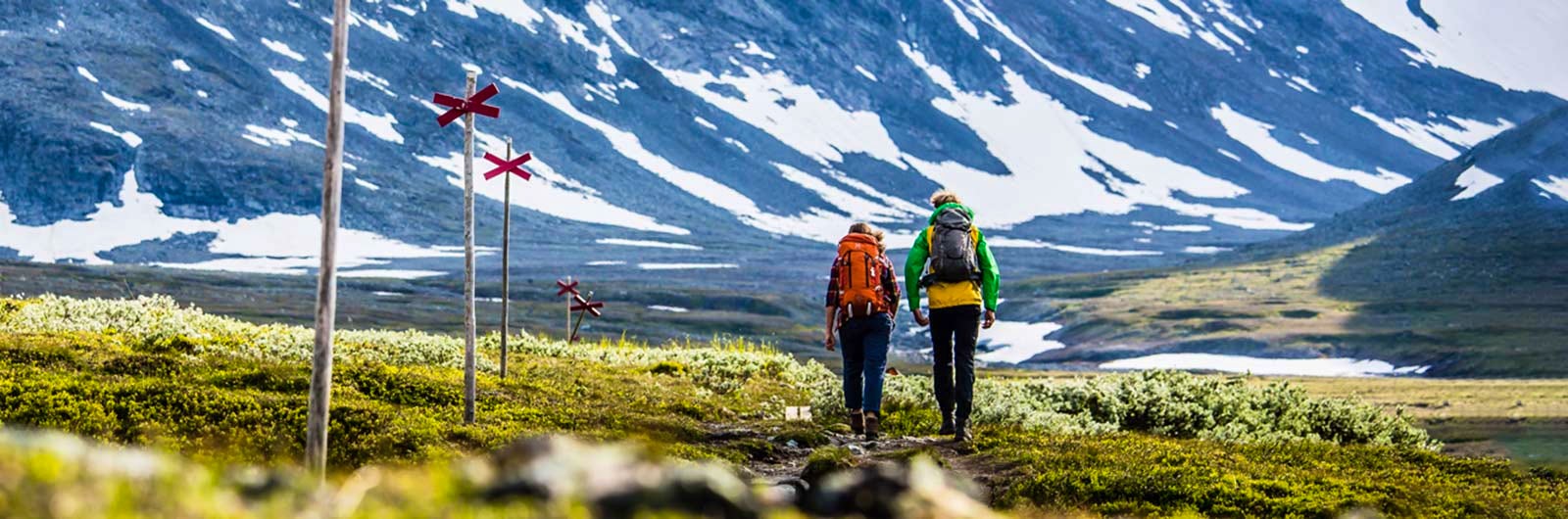
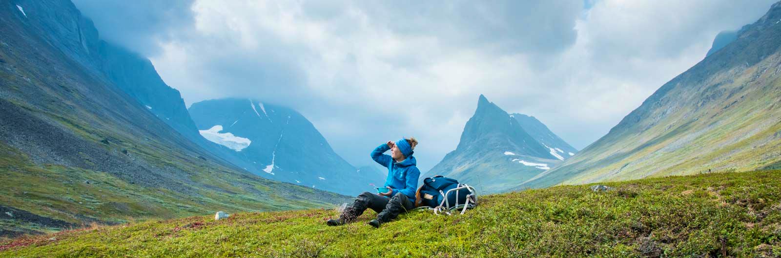
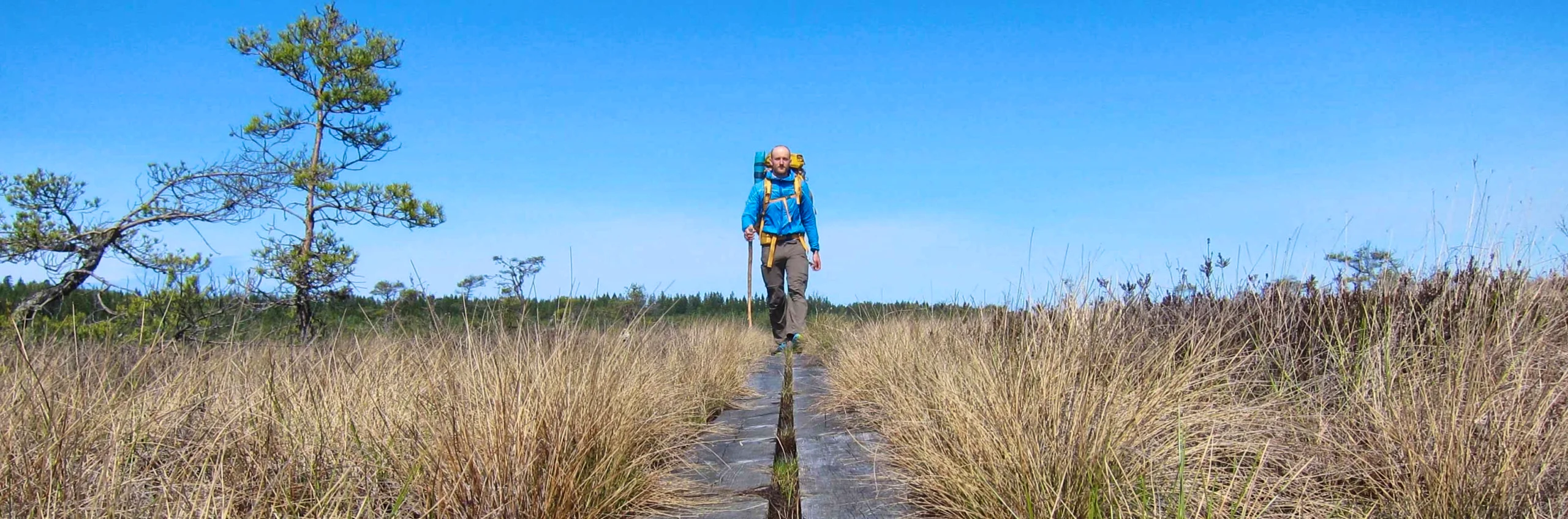
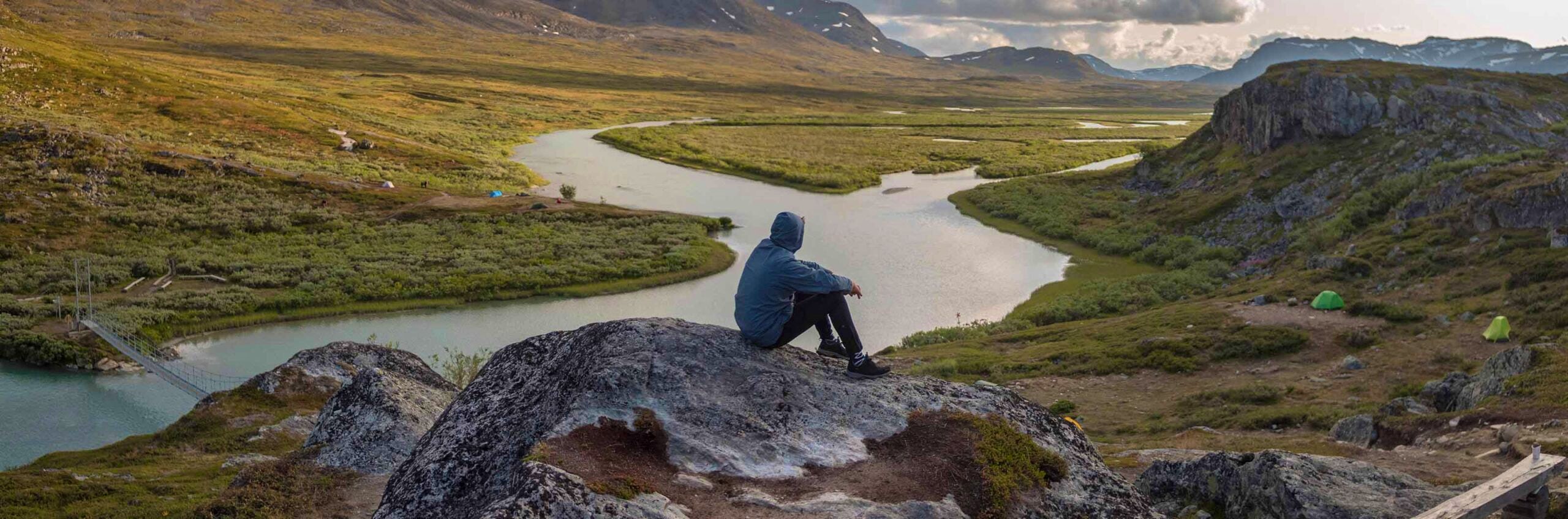
Hike in Lappland
The Kungsleden trail
The mountains | Abisko-Hemavan | 450 km | 20-25 days
The Kebnekaise circuit
The mountains | Kebnekaise | 76 km | 6 days
The Padjelanta trail
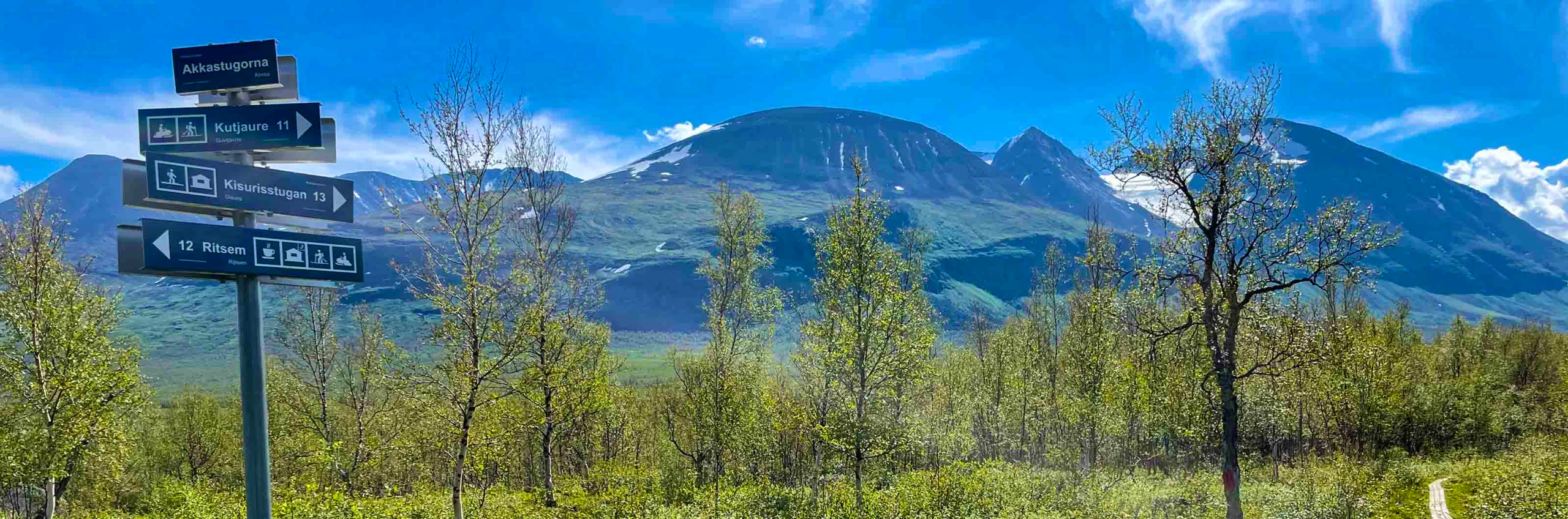
The mountains | Ritsem| 160 km | 10 days
Vindelfjällen
The mountains | Vindelfjällen | 78 km | 6 days
Nikkaluokta – Kebnekaise
The mountains | Kebnekaise | 19 km | 1 day
Nikkaluokta – Ritsem
The mountains | Nikkaluokta | 100 km | 5 days
Ritsem – Aktse
The mountains | Sarek | 109 km | 7 days
Sarek national park
The mountains | Sarek | 4+ days
Signature trails
STF has selected some of the most spectacular trails in the country and brought them together under the name Signature trails. These trails offer beautiful and varied landscapes and are distinctive for their region.
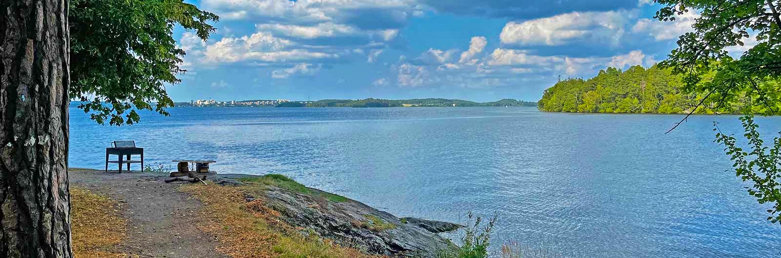
Signature trail Stockholm
City | Stockholm | 62 km | 4 days
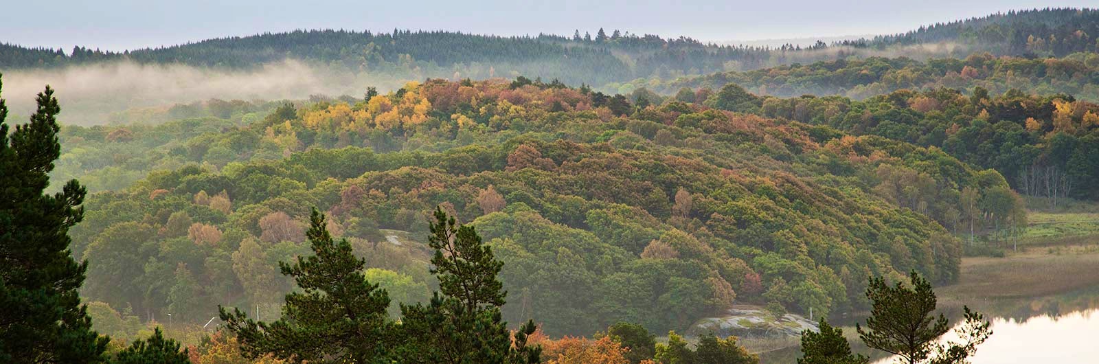
Signature trail Gothenburg
Close to the city | Gothenburg | 53 km | 4 days

Signature trail Öland
Lowland | Öland | 84 km | 5 days
Signature trail Omberg
Lowland | Östergötland | 38 km | 3 days
Signature trail Österlen
Coast | Skåne | 93 km | 7 days
Signature trail Skåne
Lowland | Skåne | 90 km | 5 days

Signature trail Höga Kusten
Coast | Medelpad | 140 km | 7 days
Signature trail Siljan
Lowland | Dalarna | 60 km | 4 days
Signature trail Kinnekulle
Lowland | Västergötland | 44 km | 3 days
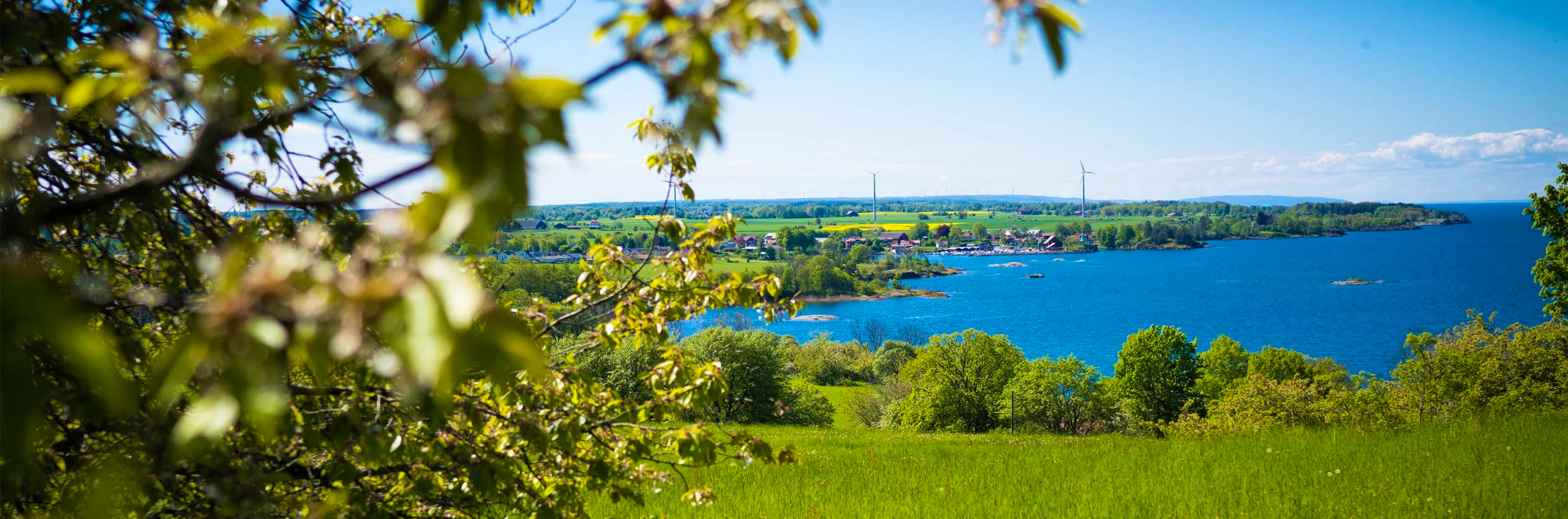
Signature trail southern Bohuslän
Coast | Bohuslän | 65 km | 5 days
Signature trail Bergslagen
Lowland | Närke | 62 km | 4 days
Signature trail Store Mosse
Lowland | Småland | 83 km | 5 days
Signature trail southern Tjustleden
Lowland | Småland | 77 km | 4 days
Kungsleden Ammarnäs–Hemavan
Mountain | Lapland | 78 km | 6 days
Kungsleden Abisko–Nikkaluokta
Mountain | Lapland | 108 km | 7 days
Signature trail Treparksmötet
Mountain | Lapland | 52 km | 5 days
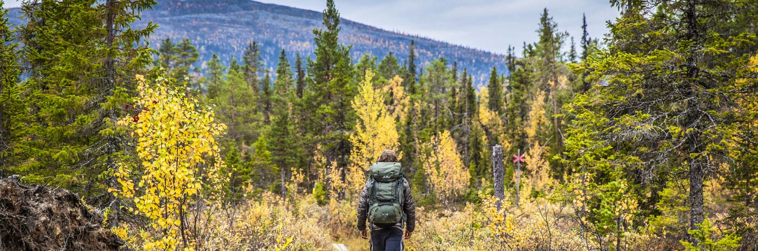
E-paths
E-path 1
E1 in Sweden is a scenic hiking trail that stretches from Halmstad to Grövelsjön.
E-path 6
E6 in Sweden was inaugurated in 1992 and stretches from Malmö/Helsingborg to Grisslehamn.

E-paths in Sweden
It is actually possible to hike all the way from Nordkap to Sicily.
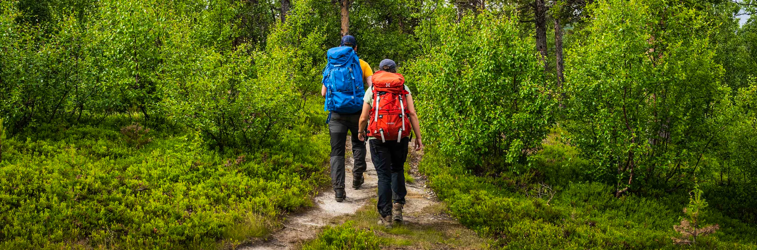
Hiking trails in your area
There are many ways to find hiking trails in your area. One tip is to use Naturkartan (opens in new tab), which brings together the majority of Sweden’s hiking trails. Other useful map services include Lantmäteriet’s My map (opens in new tab) and Topo GPS (opens in new tab).
Another suggestion is to look up the destination company in your area, as they often gather helpful information about local hiking trails on their websites, for example Visit Värmland or Visit Dalarna. In other regions, the county or a foundation may take greater responsibility for maintaining and promoting trails, such as Skåneleden, Bergslagsleden or Västkuststiftelsen, which provide extensive information and detailed maps. Many municipalities also have outdoor recreation pages with a wide range of hiking suggestions.
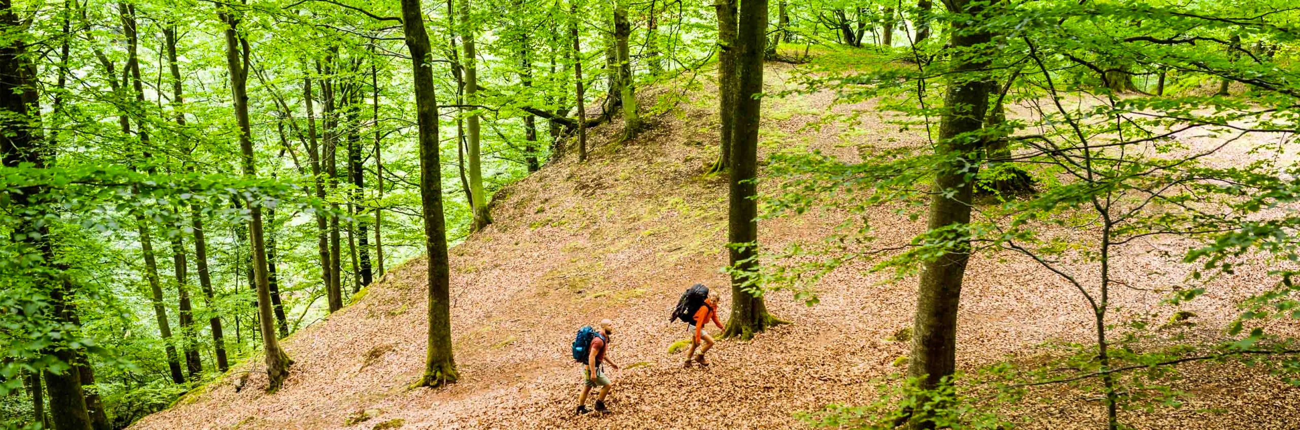
More pages about hiking

Hiking
On this page you will find helpful tips and information for your hike.
Packing lists
Packing lists for day hikes and multi-day hikes, in summer and winter – with or without a tent or children.
Equipment for hiking
On this page you will find tips on how to pack smart, what to keep in mind when camping, and how to cook outdoors.